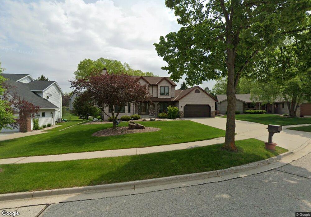
301 Ryan Ct West Bend, WI 53095
Estimated Value: $469,128 - $499,000
3
Beds
3
Baths
2,213
Sq Ft
$216/Sq Ft
Est. Value
About This Home
This home is located at 301 Ryan Ct, West Bend, WI 53095 and is currently estimated at $478,032, approximately $216 per square foot. 301 Ryan Ct is a home located in Washington County with nearby schools including McLane Elementary School, Silverbrook Intermediate School, and East High School.
Ownership History
Date
Name
Owned For
Owner Type
Purchase Details
Closed on
Jun 2, 2016
Sold by
Volkert Steven J and Volkert Joni M
Bought by
Sliwinski Robert and Sliwinski Sarah
Current Estimated Value
Home Financials for this Owner
Home Financials are based on the most recent Mortgage that was taken out on this home.
Original Mortgage
$223,600
Outstanding Balance
$175,580
Interest Rate
3.66%
Mortgage Type
New Conventional
Estimated Equity
$302,452
Purchase Details
Closed on
Nov 13, 2014
Sold by
Schroeder Steven G and Schroeder Diane M
Bought by
Volkert Steven J and Volkert Joni M
Create a Home Valuation Report for This Property
The Home Valuation Report is an in-depth analysis detailing your home's value as well as a comparison with similar homes in the area
Home Values in the Area
Average Home Value in this Area
Purchase History
| Date | Buyer | Sale Price | Title Company |
|---|---|---|---|
| Sliwinski Robert | $260,000 | None Available | |
| Volkert Steven J | $235,000 | None Available |
Source: Public Records
Mortgage History
| Date | Status | Borrower | Loan Amount |
|---|---|---|---|
| Open | Sliwinski Robert | $223,600 |
Source: Public Records
Tax History
| Year | Tax Paid | Tax Assessment Tax Assessment Total Assessment is a certain percentage of the fair market value that is determined by local assessors to be the total taxable value of land and additions on the property. | Land | Improvement |
|---|---|---|---|---|
| 2025 | $5,433 | $277,900 | $57,400 | $220,500 |
| 2024 | $5,104 | $391,700 | $64,500 | $327,200 |
| 2023 | $4,545 | $277,900 | $57,400 | $220,500 |
| 2022 | $4,902 | $277,900 | $57,400 | $220,500 |
| 2021 | $5,035 | $277,900 | $57,400 | $220,500 |
| 2020 | $4,941 | $277,900 | $57,400 | $220,500 |
| 2019 | $4,784 | $277,900 | $57,400 | $220,500 |
| 2018 | $4,642 | $277,900 | $57,400 | $220,500 |
| 2017 | $4,798 | $257,400 | $57,400 | $200,000 |
| 2016 | $4,831 | $257,400 | $57,400 | $200,000 |
| 2015 | $4,904 | $257,400 | $57,400 | $200,000 |
| 2014 | $4,904 | $257,400 | $57,400 | $200,000 |
| 2013 | $5,300 | $257,400 | $57,400 | $200,000 |
Source: Public Records
Map
Nearby Homes
- 213 Ryan Ct
- 224 Deer Ridge Dr
- 203 Deer Ridge Dr
- 151 N University Dr Unit 215
- 125 N University Dr Unit 108
- 2346 W Washington St
- Lt1 Villa Park Dr
- 4000 W Washington St
- 908 Kings Ridge Ct E
- 810 Rockingham Ct Unit C
- 622 Shepherds Dr Unit 3
- 622 Shepherds Dr Unit 6
- 1816 Miller St Unit A
- 1833 Hilltop Dr
- 629 Westridge Dr Unit 9
- 6741 Jansen Dr
- 155 Concord Ln
- 1407 Villa Park Ct
- 632 S 16th Ave
- 1416 Villa Park Ct
Your Personal Tour Guide
Ask me questions while you tour the home.