Estimated Value: $882,000 - $1,488,000
Studio
3
Baths
4,337
Sq Ft
$262/Sq Ft
Est. Value
About This Home
This home is located at 30150 S 587 Cir, Grove, OK 74344 and is currently estimated at $1,136,299, approximately $262 per square foot. 30150 S 587 Cir is a home located in Delaware County with nearby schools including Grove Lower Elementary School, Grove Upper Elementary School, and Grove Middle School.
Ownership History
Date
Name
Owned For
Owner Type
Purchase Details
Closed on
Nov 9, 2005
Sold by
Hinn Patricia C
Bought by
Moorhead F Allen and Moorhead Adriana P
Current Estimated Value
Home Financials for this Owner
Home Financials are based on the most recent Mortgage that was taken out on this home.
Original Mortgage
$300,000
Outstanding Balance
$161,988
Interest Rate
5.9%
Mortgage Type
New Conventional
Estimated Equity
$974,311
Purchase Details
Closed on
Nov 8, 2005
Sold by
Hardwick Wayne Randol
Bought by
Moorhead F Allen and Moorhead Adriana P
Home Financials for this Owner
Home Financials are based on the most recent Mortgage that was taken out on this home.
Original Mortgage
$300,000
Outstanding Balance
$161,988
Interest Rate
5.9%
Mortgage Type
New Conventional
Estimated Equity
$974,311
Purchase Details
Closed on
Sep 14, 1993
Sold by
Rockford Resources Inc
Create a Home Valuation Report for This Property
The Home Valuation Report is an in-depth analysis detailing your home's value as well as a comparison with similar homes in the area
Home Values in the Area
Average Home Value in this Area
Purchase History
We collect this data history from publicly available records. To have your information removed, we recommend requesting removal directly through your county’s website.
| Date | Buyer | Sale Price | Title Company |
|---|---|---|---|
| Moorhead F Allen | $230,000 | -- | |
| Moorhead F Allen | $230,000 | -- | |
| -- | $35,000 | -- |
Source: Public Records
Mortgage History
We collect this data history from publicly available records. To have your information removed, we recommend requesting removal directly through your county’s website.
| Date | Status | Borrower | Loan Amount |
|---|---|---|---|
| Open | Moorhead F Allen | $300,000 |
Source: Public Records
Tax History
| Year | Tax Paid | Tax Assessment Tax Assessment Total Assessment is a certain percentage of the fair market value that is determined by local assessors to be the total taxable value of land and additions on the property. | Land | Improvement |
|---|---|---|---|---|
| 2025 | $6,460 | $79,790 | $21,575 | $58,215 |
| 2024 | $6,153 | $75,991 | $20,548 | $55,443 |
| 2023 | $6,153 | $72,372 | $20,163 | $52,209 |
| 2022 | $5,755 | $72,372 | $20,311 | $52,061 |
| 2021 | $5,469 | $68,926 | $20,093 | $48,833 |
| 2020 | $5,297 | $65,644 | $19,312 | $46,332 |
| 2019 | $5,063 | $59,541 | $17,928 | $41,613 |
| 2018 | $4,812 | $59,541 | $17,996 | $41,545 |
| 2017 | $4,598 | $56,705 | $17,307 | $39,398 |
| 2016 | $4,377 | $54,006 | $15,915 | $38,091 |
| 2015 | $4,228 | $48,985 | $15,869 | $33,116 |
| 2014 | $4,249 | $48,985 | $15,869 | $33,116 |
Source: Public Records
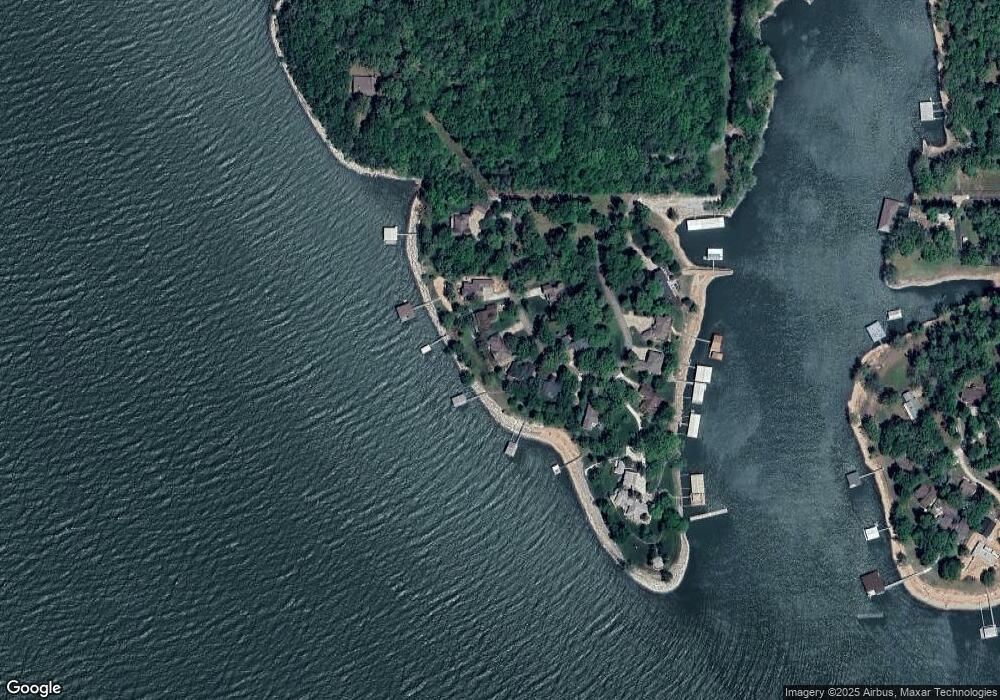
Map
Nearby Homes
- 58593 E 296 Place
- 58551 E 296 Place
- 29573 S 585 Ct
- 29524 S 585 Ct
- Lot 1 & 2 S 585 Ct
- Lot 1 S 585 Ct
- Lot 2 S 585 Ct
- 26 S 592 Place
- 29900 S 592 Place
- 6026 Lake Breeze Rd
- 59421 E 301 Rd
- 411 Fairway Cir
- 57450 Oklahoma 125 Unit 537
- 57450 Oklahoma 125 Unit 595
- 59488 E 301 Rd
- 56907 E Maple Ridge
- 56901 E Walnut Dr
- 5080 Lake Breeze Rd
- Lot 103 S 567 Rd
- 4971 Lighthouse Springs Dr
- 30103 S 587 Cir
- 30140 S 587 Cir
- 30138 S 587 Cir
- 30176 S 587 Cir
- 30101 S 587 Cir
- 30101 S 587 Cir
- 30101 S 587 Cir
- 30030 S 587 Cir
- 0 S 587 Cir
- 30020 S 587 Cir
- 30130 S 587 Cir
- 30110 S 587 Cir
- 30040 S 587 Cir
- 30010 S 587 Cir
- 30100 S 587 Cir
- 58881 E 301 Ln
- 36800 E 300 Rd
- 58495 E 297 Rd
- 58910 E 301 Ln
- 58891 E 301 Ln
Your Personal Tour Guide
Ask me questions while you tour the home.