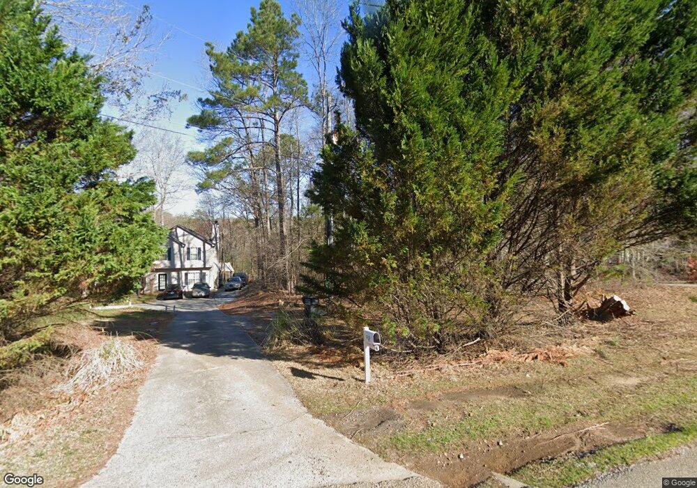
3019 Highway 138 Monroe, GA 30655
Estimated Value: $277,000 - $344,000
Studio
--
Bath
1,912
Sq Ft
$163/Sq Ft
Est. Value
About This Home
This home is located at 3019 Highway 138, Monroe, GA 30655 and is currently estimated at $312,162, approximately $163 per square foot. 3019 Highway 138 is a home located in Walton County with nearby schools including Youth Elementary School, Youth Middle School, and Walnut Grove High School.
Ownership History
Date
Name
Owned For
Owner Type
Purchase Details
Closed on
Oct 24, 2001
Sold by
Taylor Bean & Whitaker Mtg
Bought by
Colbert Dexter J and Colbert Connie M
Current Estimated Value
Home Financials for this Owner
Home Financials are based on the most recent Mortgage that was taken out on this home.
Original Mortgage
$113,050
Outstanding Balance
$42,076
Interest Rate
6.67%
Mortgage Type
New Conventional
Estimated Equity
$270,086
Purchase Details
Closed on
Feb 6, 2001
Sold by
Jackson James C
Bought by
Taylor Bean & Whitaker Mtg
Purchase Details
Closed on
Oct 27, 1999
Sold by
Paramount Homes
Bought by
Jackson James C
Home Financials for this Owner
Home Financials are based on the most recent Mortgage that was taken out on this home.
Original Mortgage
$124,266
Interest Rate
7.76%
Mortgage Type
FHA
Create a Home Valuation Report for This Property
The Home Valuation Report is an in-depth analysis detailing your home's value as well as a comparison with similar homes in the area
Home Values in the Area
Average Home Value in this Area
Purchase History
| Date | Buyer | Sale Price | Title Company |
|---|---|---|---|
| Colbert Dexter J | $119,000 | -- | |
| Taylor Bean & Whitaker Mtg | $138,157 | -- | |
| Jackson James C | $125,300 | -- |
Source: Public Records
Mortgage History
| Date | Status | Borrower | Loan Amount |
|---|---|---|---|
| Open | Colbert Dexter J | $113,050 | |
| Previous Owner | Jackson James C | $124,266 |
Source: Public Records
Tax History
| Year | Tax Paid | Tax Assessment Tax Assessment Total Assessment is a certain percentage of the fair market value that is determined by local assessors to be the total taxable value of land and additions on the property. | Land | Improvement |
|---|---|---|---|---|
| 2025 | $2,624 | $88,680 | $20,760 | $67,920 |
| 2024 | $2,450 | $85,920 | $20,760 | $65,160 |
| 2023 | $2,333 | $79,640 | $17,040 | $62,600 |
| 2022 | $2,164 | $71,040 | $15,160 | $55,880 |
| 2021 | $1,764 | $56,720 | $11,120 | $45,600 |
| 2020 | $1,686 | $53,040 | $8,920 | $44,120 |
| 2019 | $1,593 | $48,160 | $7,200 | $40,960 |
| 2018 | $1,524 | $48,160 | $7,200 | $40,960 |
| 2017 | $1,549 | $44,960 | $5,080 | $39,880 |
| 2016 | $1,220 | $38,440 | $4,760 | $33,680 |
| 2015 | $1,119 | $34,920 | $4,760 | $30,160 |
| 2014 | $986 | $30,360 | $4,560 | $25,800 |
Source: Public Records
Map
Nearby Homes
- 1202 Nunnally Dr
- 1392 Nunnally Trail
- 543 Sterling Water Dr
- 2430 Amber Hills Dr
- 635 Nunnally Farm Rd
- 492 Nunnally Farm Rd
- 558 Sterling Water Dr
- 1004 Highgrove Dr
- 176 Iroquois Ct
- 172 Iroquois Ct
- 2151 Kari Brook Dr
- 7332 Lake Walton Blvd
- 2076 Highway 138 NW
- 4130 Lakeside Blvd Unit 5
- 1426 River Falls View
- 43 Belmont Ct
- 1259 Stewart Lake Ct
- 3395 Timberland Rd
- 493 Youth Jersey Rd
- 182 Bella Dr
- 3029 Highway 138
- 3039 Highway 138 NW
- 3049 Highway 138 Unit 138
- 3049 Highway 138
- 3049 Highway 138
- 3069 Georgia 138
- 401 Lakeshore Dr
- 3069 Highway 138
- 1509 Nunnally Way
- 1511 Nunnally Way
- 403 Lakeshore Dr
- 1424 Nunnally Trace Unit 2
- 3053 Highway 138
- 1507 Nunnally Way
- 1422 Nunnally Trace
- 1425 Nunnally Trace
- 1513 Nunnally Way
- 1505 Nunnally Way
- 405 Lakeshore Dr
- 1420 Nunnally Trace Unit 2
Your Personal Tour Guide
Ask me questions while you tour the home.