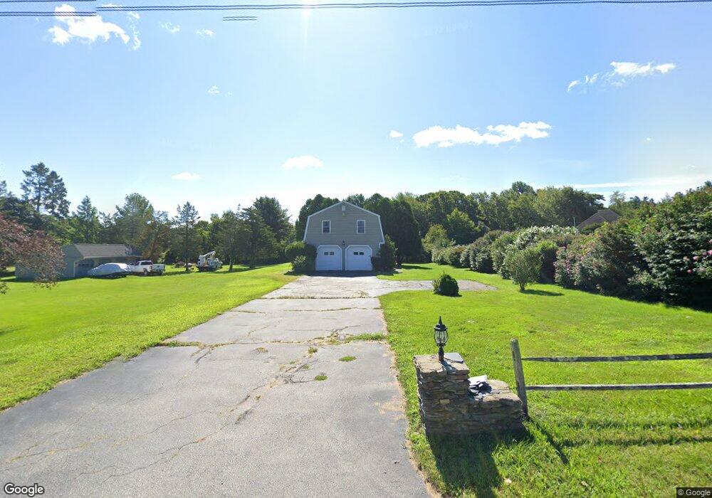
302 Browning Rd Bozrah, CT 06334
Estimated Value: $338,000 - $364,000
3
Beds
2
Baths
1,296
Sq Ft
$270/Sq Ft
Est. Value
About This Home
This home is located at 302 Browning Rd, Bozrah, CT 06334 and is currently estimated at $349,968, approximately $270 per square foot. 302 Browning Rd is a home located in New London County with nearby schools including Fields Memorial School.
Ownership History
Date
Name
Owned For
Owner Type
Purchase Details
Closed on
Jan 10, 2001
Sold by
Gormiglio Harrison
Bought by
Hillos Arnold and Hollis Lillian
Current Estimated Value
Purchase Details
Closed on
May 14, 1991
Sold by
Falvey John and Falvey Joyce
Bought by
Farmiglio Harrison
Home Financials for this Owner
Home Financials are based on the most recent Mortgage that was taken out on this home.
Original Mortgage
$25,000
Interest Rate
9.41%
Mortgage Type
Unknown
Create a Home Valuation Report for This Property
The Home Valuation Report is an in-depth analysis detailing your home's value as well as a comparison with similar homes in the area
Home Values in the Area
Average Home Value in this Area
Purchase History
| Date | Buyer | Sale Price | Title Company |
|---|---|---|---|
| Hillos Arnold | $60,000 | -- | |
| Farmiglio Harrison | $135,000 | -- |
Source: Public Records
Mortgage History
| Date | Status | Borrower | Loan Amount |
|---|---|---|---|
| Open | Farmiglio Harrison | $80,000 | |
| Closed | Farmiglio Harrison | $80,000 | |
| Previous Owner | Farmiglio Harrison | $25,000 | |
| Previous Owner | Farmiglio Harrison | $55,000 |
Source: Public Records
Tax History
| Year | Tax Paid | Tax Assessment Tax Assessment Total Assessment is a certain percentage of the fair market value that is determined by local assessors to be the total taxable value of land and additions on the property. | Land | Improvement |
|---|---|---|---|---|
| 2025 | $3,415 | $145,320 | $41,860 | $103,460 |
| 2024 | $3,306 | $145,320 | $41,860 | $103,460 |
| 2023 | $3,270 | $145,320 | $41,860 | $103,460 |
| 2022 | $3,471 | $128,540 | $41,890 | $86,650 |
| 2021 | $3,471 | $128,540 | $41,890 | $86,650 |
| 2020 | $3,573 | $128,540 | $41,890 | $86,650 |
| 2019 | $3,535 | $128,540 | $41,890 | $86,650 |
| 2018 | $3,535 | $128,540 | $41,890 | $86,650 |
| 2014 | $3,540 | $132,350 | $45,210 | $87,140 |
Source: Public Records
Map
Nearby Homes
- 194 Browning Rd
- 215 Wawecus Hill Rd
- 215 Cranberry Pond Rd
- 15 Wahconah Dr
- 5 Lost Acres Rd
- 82 Sunnyside St
- 171 Otrobando Ave
- 100 Briar Hill Rd
- 11 Green Briar Rd
- 00 Plain Hill Rd
- 8 Vergason Ave
- 60-70 Connecticut Ave
- 108 W Town St
- 14 Boxwood Ln
- 215 New London Turnpike
- 0 Myrtle Dr
- 33 Lauren Ln
- 46 Sunnyside Ave
- 156 Briar Ln
- 152 Briar Ln Unit 152
- 4 High Meadow Ln
- 299 Browning Rd
- 292 Browning Rd
- 17 High Meadows Ln
- 310 Browning Rd
- 309 Browning Rd
- 31 High Meadows Ln
- 36 High Meadows Ln
- 290 Browning Rd
- 316 Browning Rd
- 41 High Meadows Ln
- 44 High Meadows Ln
- 289 Browning Rd
- 315 Browning Rd
- 47 High Meadows Ln
- 319 Browning Rd
- 54 High Meadows Ln
- 278 Browning Rd
- 273 Browning Rd
- 53 High Meadows Ln
Your Personal Tour Guide
Ask me questions while you tour the home.