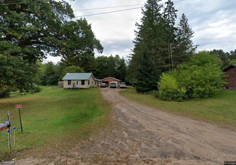
302 Main St Minong, WI 54859
Estimated Value: $133,751 - $230,000
Studio
--
Bath
--
Sq Ft
174,240
Sq Ft Lot
About This Home
This home is located at 302 Main St, Minong, WI 54859 and is currently estimated at $185,938. 302 Main St is a home with nearby schools including Northwood Virtual Charter School, Northwood Elementary School, and Northwood Middle/High School.
Ownership History
Date
Name
Owned For
Owner Type
Purchase Details
Closed on
Feb 20, 2024
Sold by
Dillon Nicholas Lee
Bought by
Fore William
Current Estimated Value
Purchase Details
Closed on
Nov 1, 2023
Sold by
Larson Scott W
Bought by
Dillon Nicholas L
Purchase Details
Closed on
Oct 18, 2017
Sold by
Link John E
Bought by
Larson Scott W
Purchase Details
Closed on
Jun 8, 2016
Sold by
Ostrom Earnie V
Bought by
Link John E
Purchase Details
Closed on
Jul 12, 2007
Sold by
Mcshane Kenneth G and Mcshane Kay J
Bought by
Smith Donald L
Create a Home Valuation Report for This Property
The Home Valuation Report is an in-depth analysis detailing your home's value as well as a comparison with similar homes in the area
Purchase History
| Date | Buyer | Sale Price | Title Company |
|---|---|---|---|
| Fore William | $125,000 | T.M. Title Services, Inc | |
| Dillon Nicholas L | $77,525 | Attorney Thomas G. Schmitzer, | |
| Larson Scott W | $75,000 | -- | |
| Link John E | $50,800 | -- | |
| Smith Donald L | $100,000 | -- |
Source: Public Records
Tax History
| Year | Tax Paid | Tax Assessment Tax Assessment Total Assessment is a certain percentage of the fair market value that is determined by local assessors to be the total taxable value of land and additions on the property. | Land | Improvement |
|---|---|---|---|---|
| 2025 | $1,297 | $73,800 | $15,400 | $58,400 |
| 2023 | $1,255 | $73,800 | $15,400 | $58,400 |
| 2022 | $1,042 | $73,800 | $15,400 | $58,400 |
| 2021 | $1,050 | $73,800 | $15,400 | $58,400 |
| 2020 | $771 | $53,200 | $12,500 | $40,700 |
| 2019 | $770 | $53,200 | $12,500 | $40,700 |
| 2018 | $727 | $53,200 | $12,500 | $40,700 |
| 2017 | $852 | $53,200 | $12,500 | $40,700 |
| 2016 | $832 | $50,500 | $12,500 | $38,000 |
| 2015 | $860 | $50,500 | $12,500 | $38,000 |
| 2014 | $84 | $50,500 | $12,500 | $38,000 |
| 2012 | $848 | $50,500 | $12,500 | $38,000 |
Source: Public Records
Map
Nearby Homes
- 317 W 5th Ave
- 708 Stigney St
- TBD Wallace St
- Lot 3 Wallace St
- W37XX Frog Creek Rd
- W6524 Nancy Lake Rd
- 13087 Gilmore Dr
- N13369 Osprey Dr
- 9397 E County Road T
- 7597 Ostrom Rd
- XX Hwy 77
- 16238 Antler Inn Rd
- 16729 S Storm Rd
- 16221 S Witzig Dr
- 16656 S Eagle Point Rd
- 0 Bond Leader Lake Rd Unit NST7043214
- 0 Bond Leader Lake Rd Unit 1599453
- 7486 E Lakewood Dr
- 7409 E Lakewood Dr
- CSM 8-40 Middle Rd
Your Personal Tour Guide
Ask me questions while you tour the home.