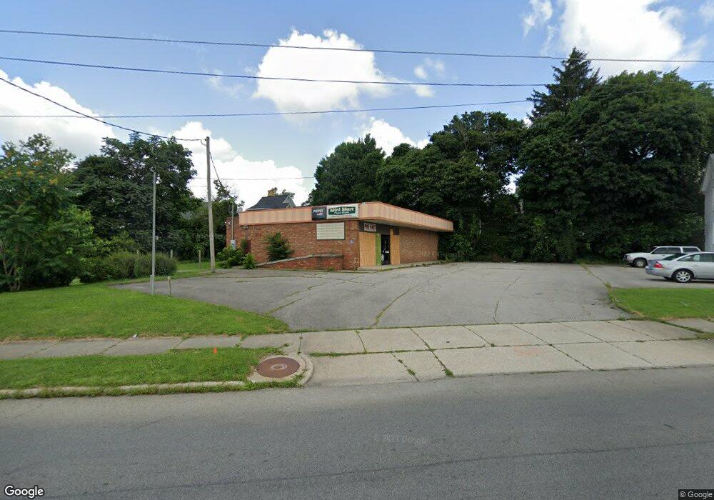
302 Marion Ave Mansfield, OH 44903
Estimated Value: $122,201
Studio
--
Bath
2,562
Sq Ft
$48/Sq Ft
Est. Value
About This Home
This home is located at 302 Marion Ave, Mansfield, OH 44903 and is currently estimated at $122,201, approximately $47 per square foot. 302 Marion Ave is a home located in Richland County with nearby schools including Goal Digital Academy, St. Peter's Elementary/Montessori School, and Discovery School.
Ownership History
Date
Name
Owned For
Owner Type
Purchase Details
Closed on
Nov 24, 2014
Sold by
Yellen Lisa K
Bought by
Patel Janki
Current Estimated Value
Purchase Details
Closed on
Apr 18, 2013
Sold by
Shri Hariom Inc
Bought by
Shyam Of Mansfield Inc
Home Financials for this Owner
Home Financials are based on the most recent Mortgage that was taken out on this home.
Original Mortgage
$141,492
Interest Rate
3.5%
Mortgage Type
Commercial
Create a Home Valuation Report for This Property
The Home Valuation Report is an in-depth analysis detailing your home's value as well as a comparison with similar homes in the area
Home Values in the Area
Average Home Value in this Area
Purchase History
We collect this data history from publicly available records. To have your information removed, we recommend requesting removal directly through your county’s website.
| Date | Buyer | Sale Price | Title Company |
|---|---|---|---|
| Patel Janki | $55,000 | Chicago Title | |
| Shyam Of Mansfield Inc | -- | Barrister Title Group |
Source: Public Records
Mortgage History
We collect this data history from publicly available records. To have your information removed, we recommend requesting removal directly through your county’s website.
| Date | Status | Borrower | Loan Amount |
|---|---|---|---|
| Previous Owner | Shyam Of Mansfield Inc | $141,492 |
Source: Public Records
Tax History
| Year | Tax Paid | Tax Assessment Tax Assessment Total Assessment is a certain percentage of the fair market value that is determined by local assessors to be the total taxable value of land and additions on the property. | Land | Improvement |
|---|---|---|---|---|
| 2025 | $2,284 | $32,050 | $8,180 | $23,870 |
| 2024 | $2,284 | $32,050 | $8,180 | $23,870 |
| 2023 | $2,278 | $32,050 | $8,180 | $23,870 |
| 2022 | $2,436 | $30,320 | $7,430 | $22,890 |
| 2021 | $2,447 | $30,320 | $7,430 | $22,890 |
| 2020 | $2,485 | $30,320 | $7,430 | $22,890 |
| 2019 | $2,599 | $30,320 | $7,430 | $22,890 |
| 2018 | $2,587 | $30,320 | $7,430 | $22,890 |
| 2017 | $2,614 | $30,320 | $7,430 | $22,890 |
| 2016 | $2,685 | $31,510 | $7,430 | $24,080 |
| 2015 | $2,685 | $31,510 | $7,430 | $24,080 |
| 2014 | $2,551 | $31,510 | $7,430 | $24,080 |
| 2012 | $1,054 | $31,510 | $7,430 | $24,080 |
Source: Public Records
Map
Nearby Homes
- 108 Stewart Ave S
- 116 Stewart Ave S
- 575 Maple St
- 51 Lind Ave
- 495 Davey Ave
- 157 Marion Ave
- 93 Parkwood Blvd
- 183 Carpenter Rd
- 42 Parkwood Blvd
- 458 W West Dickson Ave
- 519 Heineman Blvd
- 509 Heineman Blvd
- 283 Park Ave W
- 470 W 4th St
- 129 Fairlawn Ave
- 135 Fairlawn Ave
- 143 Fairlawn Ave
- 679 Coleman Rd
- 182 W First St
- 245 W 4th St
- 288 Marion Ave
- 1 Constance Ct
- 105 Sherman Ave
- 111 Sherman Ave
- 282 Marion Ave
- 107 Sherman Ave
- 310 Marion Ave
- 287 Marion Ave
- 280 Marion Ave
- 99 Sherman Ave
- 90 Bartley Ave
- 289 Marion Ave
- 132 Bartley Ave
- 86 Bartley Ave
- 89 Sherman Ave
- 136 Bartley Ave
- 305 Marion Ave
- 138 Bartley Ave
- 272 Marion Ave
- 82 Bartley Ave
Your Personal Tour Guide
Ask me questions while you tour the home.