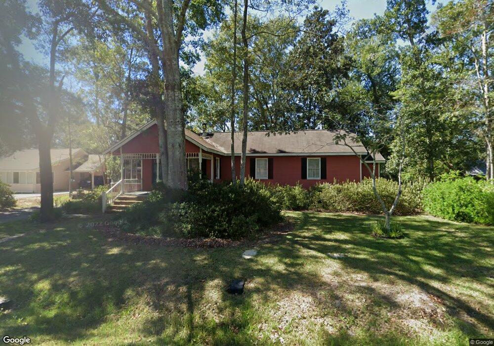
302 Michael Dr Pearl River, LA 70452
Estimated Value: $201,211 - $231,000
3
Beds
3
Baths
1,652
Sq Ft
$129/Sq Ft
Est. Value
About This Home
This home is located at 302 Michael Dr, Pearl River, LA 70452 and is currently estimated at $213,553, approximately $129 per square foot. 302 Michael Dr is a home located in St. Tammany Parish with nearby schools including Little Pearl Elementary School, Riverside Elementary School, and Creekside Junior High School.
Create a Home Valuation Report for This Property
The Home Valuation Report is an in-depth analysis detailing your home's value as well as a comparison with similar homes in the area
Home Values in the Area
Average Home Value in this Area
Tax History
| Year | Tax Paid | Tax Assessment Tax Assessment Total Assessment is a certain percentage of the fair market value that is determined by local assessors to be the total taxable value of land and additions on the property. | Land | Improvement |
|---|---|---|---|---|
| 2025 | $1,157 | $15,589 | $2,000 | $13,589 |
| 2024 | $1,157 | $15,589 | $2,000 | $13,589 |
| 2023 | $1,215 | $13,276 | $2,000 | $11,276 |
| 2022 | $91,484 | $13,276 | $2,000 | $11,276 |
| 2021 | $967 | $13,276 | $2,000 | $11,276 |
| 2020 | $970 | $13,276 | $2,000 | $11,276 |
| 2019 | $1,498 | $9,252 | $782 | $8,470 |
| 2018 | $1,503 | $9,252 | $782 | $8,470 |
| 2017 | $1,512 | $9,252 | $782 | $8,470 |
| 2016 | $1,545 | $9,252 | $782 | $8,470 |
| 2015 | $308 | $8,853 | $748 | $8,105 |
| 2014 | $294 | $8,853 | $748 | $8,105 |
| 2013 | -- | $8,853 | $748 | $8,105 |
Source: Public Records
Map
Nearby Homes
- 0 Porters River-East Rd
- +/- 10.093 Hwy 11 & Hwy 41 Hwy
- 0 Hwy 1090 Military Rd Cleo Rd Unit 2524827
- 0 Hwy 1090 Military Rd Cleo Rd Unit 2524834
- 0 Hwy 1090 Military Rd Cleo Rd Unit 2524834
- 322 3rd St
- 39084 Craddock Ln
- 147 Windsong Place
- 39728 Farming Ln
- 10 Porters River-East Rd
- 39092 Mcqueen Rd
- 39716 Farming Ln
- 39449 Magnolia St
- 64400 Josephine St
- 64290 Taylor Farms Rd
- 64324 Taylor Farms Rd
- 64313 Taylor Farms Rd
- 64507 Hwy 3081 None
- 64507 Louisiana 3081
- 39704 Farming Ln
Your Personal Tour Guide
Ask me questions while you tour the home.