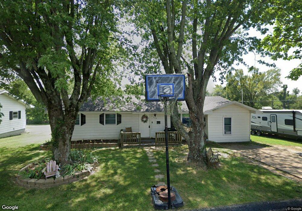
302 Sammy Ln Mountain Grove, MO 65711
Estimated Value: $139,000 - $398,000
About This Home
This home is located at 302 Sammy Ln, Mountain Grove, MO 65711 and is currently estimated at $221,964, approximately $158 per square foot. 302 Sammy Ln is a home with nearby schools including Mountain Grove Elementary School, Mountain Grove Middle School, and Ozark Mountain Technical Center.
Ownership History
We collect this data history from publicly available records. To have your information removed, we recommend requesting removal directly through your county’s website.
Purchase Details
Home Financials for this Owner
Home Financials are based on the most recent Mortgage that was taken out on this home.Home Values in the Area
Average Home Value in this Area
Purchase History
We collect this data history from publicly available records. To have your information removed, we recommend requesting removal directly through your county’s website.
| Date | Buyer | Sale Price | Title Company |
|---|---|---|---|
| -- | None Listed On Document | ||
| -- | None Listed On Document |
Mortgage History
We collect this data history from publicly available records. To have your information removed, we recommend requesting removal directly through your county’s website.
| Date | Status | Borrower | Loan Amount |
|---|---|---|---|
| Open | $126,000 | ||
| Closed | $126,000 |
Tax History
We collect this data history from publicly available records. To have your information removed, we recommend requesting removal directly through your county’s website.
| Year | Tax Paid | Tax Assessment Tax Assessment Total Assessment is a certain percentage of the fair market value that is determined by local assessors to be the total taxable value of land and additions on the property. | Land | Improvement |
|---|---|---|---|---|
| 2025 | $485 | $15,590 | $0 | $0 |
| 2024 | $4 | $13,990 | $0 | $0 |
| 2023 | $438 | $13,990 | $0 | $0 |
| 2022 | $406 | $12,780 | $0 | $0 |
| 2021 | $400 | $12,780 | $0 | $0 |
| 2020 | $374 | $11,780 | $0 | $0 |
| 2019 | $376 | $11,780 | $0 | $0 |
| 2018 | $359 | $11,250 | $0 | $0 |
| 2017 | $361 | $11,250 | $0 | $0 |
| 2016 | $380 | $12,010 | $0 | $0 |
| 2015 | -- | $11,530 | $0 | $0 |
| 2013 | -- | $11,530 | $0 | $0 |
Map
- 1205 Julia St
- 905 N Darrell St
- 1001 N Hovis St
- 5553 Missouri 95
- 708 Carlton St
- 722 N Maple Ave
- 1101 N Oakland Ave
- 908 E 10th St
- 801 E 16th St
- 904 E 9th St
- 312 W 11th St
- 528 E Dorris Ave
- 1131 N Park Ave
- 1006 E 10th St
- 521 N Oakland Ave
- 1204 Hillcrest St
- 000 Baden Ave
- 1000 E 15th St
- 214 E State St
- 4981 Highway Mm
Ask me questions while you tour the home.