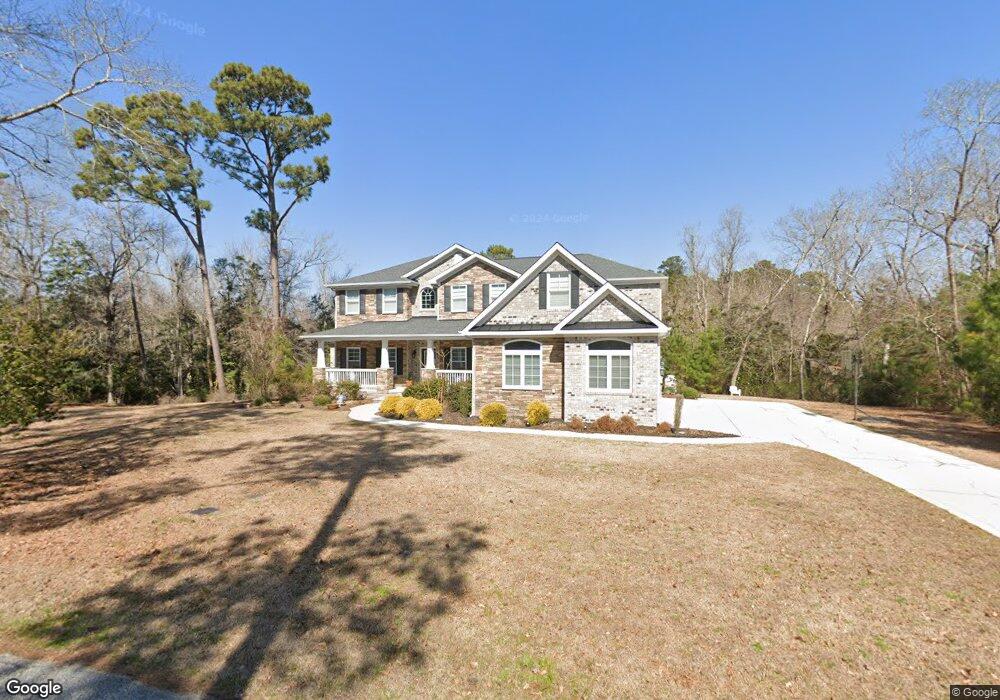
302 W Daffy Ln Hampstead, NC 28443
Estimated Value: $737,000 - $918,636
4
Beds
4
Baths
4,013
Sq Ft
$212/Sq Ft
Est. Value
About This Home
This home is located at 302 W Daffy Ln, Hampstead, NC 28443 and is currently estimated at $851,409, approximately $212 per square foot. 302 W Daffy Ln is a home with nearby schools including Topsail Elementary School, Topsail Middle School, and Topsail High School.
Ownership History
Date
Name
Owned For
Owner Type
Purchase Details
Closed on
Jan 30, 2012
Sold by
First Citizens Bank & Trust Co
Bought by
Seigel Robert K and Seigel Van T
Current Estimated Value
Purchase Details
Closed on
May 24, 2011
Sold by
Waslaw Llc
Bought by
First Citizens Bank & Trust Co
Purchase Details
Closed on
Mar 23, 2005
Sold by
Water View Inc
Bought by
Obannon Enterprises Ltd
Home Financials for this Owner
Home Financials are based on the most recent Mortgage that was taken out on this home.
Original Mortgage
$41,650
Interest Rate
5.54%
Mortgage Type
Purchase Money Mortgage
Create a Home Valuation Report for This Property
The Home Valuation Report is an in-depth analysis detailing your home's value as well as a comparison with similar homes in the area
Home Values in the Area
Average Home Value in this Area
Purchase History
| Date | Buyer | Sale Price | Title Company |
|---|---|---|---|
| Seigel Robert K | $45,000 | None Available | |
| First Citizens Bank & Trust Co | $68,100 | -- | |
| Obannon Enterprises Ltd | $50,000 | -- |
Source: Public Records
Mortgage History
| Date | Status | Borrower | Loan Amount |
|---|---|---|---|
| Previous Owner | Obannon Enterprises Ltd | $41,650 |
Source: Public Records
Tax History
| Year | Tax Paid | Tax Assessment Tax Assessment Total Assessment is a certain percentage of the fair market value that is determined by local assessors to be the total taxable value of land and additions on the property. | Land | Improvement |
|---|---|---|---|---|
| 2025 | $4,402 | $911,455 | $181,894 | $729,561 |
| 2024 | $4,402 | $499,313 | $94,830 | $404,483 |
| 2023 | $4,402 | $499,313 | $94,830 | $404,483 |
| 2022 | $3,892 | $499,313 | $94,830 | $404,483 |
| 2021 | $3,892 | $499,313 | $94,830 | $404,483 |
| 2020 | $4,066 | $533,427 | $94,830 | $438,597 |
| 2019 | $1,145 | $182,550 | $94,830 | $87,720 |
| 2018 | $4,056 | $433,868 | $94,875 | $338,993 |
| 2017 | $4,056 | $509,856 | $94,875 | $414,981 |
| 2016 | $4,009 | $509,856 | $94,875 | $414,981 |
| 2015 | -- | $509,856 | $94,875 | $414,981 |
| 2014 | $585 | $87,375 | $87,375 | $0 |
| 2013 | -- | $87,375 | $87,375 | $0 |
| 2012 | -- | $87,375 | $87,375 | $0 |
Source: Public Records
Map
Nearby Homes
- 205 E Loon Ct
- 102 Whimbrel Way
- 21900 US Highway 17 N
- 23 Stonegate Cir
- 40 Stonegate Cir
- 43 Westminster Way
- 233 Hampton Ct
- 116 Mansfield Ct
- 102 Osprey Nest
- 20 W High Bluff Dr
- Lot 46 Crown Pointe Dr
- Lot 50 Crown Pointe Dr
- Lot 49 Crown Pointe Dr
- Lot 48 Crown Pointe Dr
- Lot 42 Crown Pointe Dr
- Lot 45 Crown Pointe Dr
- 104 W High Bluff Dr
- 102 Robin Ct
- 00 Old Whitfield Rd
- 314 Pond View Ct
Your Personal Tour Guide
Ask me questions while you tour the home.