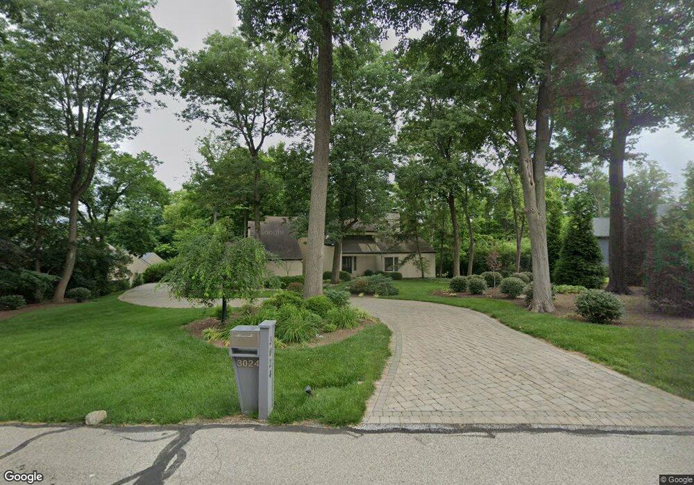
3024 Burning Tree Ln Cincinnati, OH 45237
Estimated Value: $806,460 - $1,221,000
4
Beds
3
Baths
3,428
Sq Ft
$291/Sq Ft
Est. Value
About This Home
This home is located at 3024 Burning Tree Ln, Cincinnati, OH 45237 and is currently estimated at $998,615, approximately $291 per square foot. 3024 Burning Tree Ln is a home located in Hamilton County with nearby schools including Pleasant Ridge Montessori School, Shroder High School, and Clark Montessori High School.
Ownership History
Date
Name
Owned For
Owner Type
Purchase Details
Closed on
Feb 20, 2008
Sold by
Lazarus Laurence and Lazarus Elaine N
Bought by
Thomas Stephen R and Thomas Ingrid
Current Estimated Value
Purchase Details
Closed on
Oct 19, 2005
Sold by
Lazarus Elaine N
Bought by
Lazarus Laurence
Create a Home Valuation Report for This Property
The Home Valuation Report is an in-depth analysis detailing your home's value as well as a comparison with similar homes in the area
Home Values in the Area
Average Home Value in this Area
Purchase History
| Date | Buyer | Sale Price | Title Company |
|---|---|---|---|
| Thomas Stephen R | $599,000 | Ltoc | |
| Lazarus Laurence | -- | None Available |
Source: Public Records
Tax History
| Year | Tax Paid | Tax Assessment Tax Assessment Total Assessment is a certain percentage of the fair market value that is determined by local assessors to be the total taxable value of land and additions on the property. | Land | Improvement |
|---|---|---|---|---|
| 2025 | $12,128 | $200,869 | $44,839 | $156,030 |
| 2024 | $11,767 | $200,869 | $44,839 | $156,030 |
| 2023 | $12,025 | $200,869 | $44,839 | $156,030 |
| 2022 | $11,692 | $169,250 | $44,058 | $125,192 |
| 2021 | $11,393 | $169,250 | $44,058 | $125,192 |
| 2020 | $11,564 | $169,250 | $44,058 | $125,192 |
| 2019 | $11,289 | $149,779 | $38,990 | $110,789 |
| 2018 | $11,308 | $149,779 | $38,990 | $110,789 |
| 2017 | $10,802 | $149,779 | $38,990 | $110,789 |
| 2016 | $11,693 | $155,254 | $40,940 | $114,314 |
| 2015 | $10,604 | $155,254 | $40,940 | $114,314 |
| 2014 | $10,676 | $155,254 | $40,940 | $114,314 |
| 2013 | $10,838 | $155,254 | $40,940 | $114,314 |
Source: Public Records
Map
Nearby Homes
- 7510 Fernwood Dr
- 3275 Legacy Trace
- 2281 E Galbraith Rd
- 2127 Longmeadow Ln
- 867 E Columbia Ave
- 0 Hill St Unit 1616370
- 20 Clark Rd
- 1128 Oldwick Dr
- 8627 Reading Rd
- 654 3rd St
- 2543 Vera Ave
- 2541 Vera Ave
- 2537 Vera Ave
- 2539 Vera Ave
- 7651 Sagamore Dr
- 797 4th St
- 2652 Cedarbrook Dr
- 2113 Bolser Dr
- 6750 Elbrook Ave
- 6771 Elbrook Ave
- 3028 Burning Tree Ln
- 3020 Burning Tree Ln
- 3021 Burning Tree Ln
- 3025 Burning Tree Ln
- 3016 Burning Tree Ln
- 3032 Burning Tree Ln
- 3029 Burning Tree Ln
- 7717 Creekwood Ln
- 3033 Burning Tree Ln
- 3036 Burning Tree Ln
- 7520 Fernwood Dr
- 3012 Burning Tree Ln
- 7707 Creekwood Ln
- 7540 Fernwood Dr
- 7708 Creekwood Ln
- 7712 Creekwood Ln
- 7716 Creekwood Ln
- 7720 Creekwood Ln
- 3005 Burning Tree Ln
- 3008 Burning Tree Ln
Your Personal Tour Guide
Ask me questions while you tour the home.