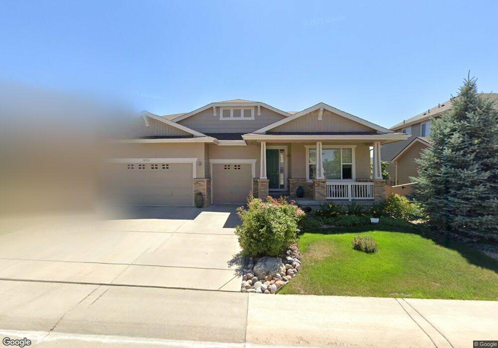
3026 E 142nd Dr Thornton, CO 80602
Fallbrook Farms NeighborhoodEstimated Value: $707,099 - $894,000
About This Home
This home is located at 3026 E 142nd Dr, Thornton, CO 80602 and is currently estimated at $770,525, approximately $338 per square foot. 3026 E 142nd Dr is a home located in Adams County with nearby schools including Prairie Hills Elementary School, Rocky Top Middle School, and Horizon High School.
Ownership History
We collect this data history from publicly available records. To have your information removed, we recommend requesting removal directly through your county’s website.
Purchase Details
Home Financials for this Owner
Home Financials are based on the most recent Mortgage that was taken out on this home.Home Values in the Area
Average Home Value in this Area
Purchase History
We collect this data history from publicly available records. To have your information removed, we recommend requesting removal directly through your county’s website.
| Date | Buyer | Sale Price | Title Company |
|---|---|---|---|
| $390,000 | Ryland Title Company |
Mortgage History
We collect this data history from publicly available records. To have your information removed, we recommend requesting removal directly through your county’s website.
| Date | Status | Borrower | Loan Amount |
|---|---|---|---|
| Open | $167,000 |
Tax History
We collect this data history from publicly available records. To have your information removed, we recommend requesting removal directly through your county’s website.
| Year | Tax Paid | Tax Assessment Tax Assessment Total Assessment is a certain percentage of the fair market value that is determined by local assessors to be the total taxable value of land and additions on the property. | Land | Improvement |
|---|---|---|---|---|
| 2025 | $3,977 | $47,200 | $8,300 | $38,900 |
| 2024 | $3,977 | $43,380 | $7,630 | $35,750 |
| 2023 | $3,937 | $48,910 | $8,250 | $40,660 |
| 2022 | $3,890 | $37,460 | $8,480 | $28,980 |
| 2021 | $4,800 | $37,460 | $8,480 | $28,980 |
| 2020 | $4,934 | $39,210 | $8,720 | $30,490 |
| 2019 | $4,941 | $39,210 | $8,720 | $30,490 |
| 2018 | $4,318 | $34,630 | $7,920 | $26,710 |
| 2017 | $5,089 | $34,630 | $7,920 | $26,710 |
| 2016 | $4,590 | $30,560 | $5,570 | $24,990 |
| 2015 | $4,592 | $30,560 | $5,570 | $24,990 |
| 2014 | -- | $30,190 | $4,940 | $25,250 |
Map
- 3405 E 143rd Ave
- 14183 Madison St
- 3538 E 142nd Dr
- 14033 Detroit Dr
- 2505 E 141st Place
- 14447 Madison St
- 3478 E 140th Place
- 3517 E 140th Dr
- 13914 Fillmore St
- 13930 Adams St
- 3538 E 140th Place
- 14098 Garfield St
- 13890 Madison St
- 3831 E 141st Ave
- 14139 Harrison St
- 13825 Milwaukee St
- 2501 E 145th Ave
- 13767 Detroit St
- 13785 Cook St
- 13914 Jackson St
- 3016 E 142nd Dr
- 3036 E 142nd Dr
- 2990 E 142nd Dr
- 3056 E 142nd Dr
- 3025 E 142nd Dr
- 3035 E 142nd Dr
- 2981 E 142nd Dr
- 2911 E 142nd Dr
- 2950 E 142nd Dr
- 3076 E 142nd Dr
- 3055 E 142nd Dr
- 3030 E 142nd Place
- 3050 E 142nd Place
- 3065 E 142nd Dr
- 2888 E 142nd Place
- 3080 E 142nd Place
- 3096 E 142nd Dr
- 3028 E 143rd Ave
- 3038 E 143rd Ave
- 2910 E 142nd Dr
Ask me questions while you tour the home.