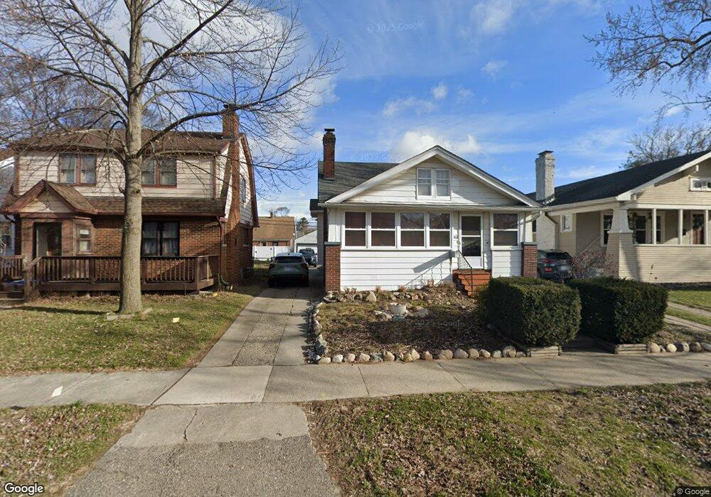
303 E Lewiston Ave Ferndale, MI 48220
Estimated Value: $275,674 - $318,000
3
Beds
2
Baths
1,109
Sq Ft
$269/Sq Ft
Est. Value
About This Home
This home is located at 303 E Lewiston Ave, Ferndale, MI 48220 and is currently estimated at $297,919, approximately $268 per square foot. 303 E Lewiston Ave is a home located in Oakland County with nearby schools including Ferndale Lower Elementary Campus, Ferndale Upper Elementary Campus, and Ferndale Middle School.
Ownership History
Date
Name
Owned For
Owner Type
Purchase Details
Closed on
Nov 10, 1994
Sold by
Ruhlman Steven J
Bought by
Hertrich Rosemary E
Current Estimated Value
Home Financials for this Owner
Home Financials are based on the most recent Mortgage that was taken out on this home.
Original Mortgage
$62,800
Interest Rate
8.91%
Create a Home Valuation Report for This Property
The Home Valuation Report is an in-depth analysis detailing your home's value as well as a comparison with similar homes in the area
Home Values in the Area
Average Home Value in this Area
Purchase History
We collect this data history from publicly available records. To have your information removed, we recommend requesting removal directly through your county’s website.
| Date | Buyer | Sale Price | Title Company |
|---|---|---|---|
| Hertrich Rosemary E | $63,000 | -- |
Source: Public Records
Mortgage History
We collect this data history from publicly available records. To have your information removed, we recommend requesting removal directly through your county’s website.
| Date | Status | Borrower | Loan Amount |
|---|---|---|---|
| Closed | Hertrich Rosemary E | $62,800 |
Source: Public Records
Tax History
| Year | Tax Paid | Tax Assessment Tax Assessment Total Assessment is a certain percentage of the fair market value that is determined by local assessors to be the total taxable value of land and additions on the property. | Land | Improvement |
|---|---|---|---|---|
| 2025 | $2,608 | $139,750 | $0 | $0 |
| 2024 | $2,507 | $132,830 | $0 | $0 |
| 2023 | $2,433 | $123,260 | $0 | $0 |
| 2022 | $2,442 | $111,950 | $0 | $0 |
| 2021 | $2,456 | $104,020 | $0 | $0 |
| 2020 | $2,330 | $97,590 | $0 | $0 |
| 2019 | $2,366 | $87,480 | $0 | $0 |
| 2018 | $2,375 | $77,390 | $0 | $0 |
| 2017 | $2,506 | $76,360 | $0 | $0 |
| 2016 | $2,314 | $70,120 | $0 | $0 |
| 2015 | -- | $64,300 | $0 | $0 |
| 2014 | -- | $53,190 | $0 | $0 |
| 2011 | -- | $50,350 | $0 | $0 |
Source: Public Records
Map
Nearby Homes
- 450 E Maplehurst St
- 326 E Cambourne St
- 372 E Drayton St
- 502 E Lewiston Ave
- 507 E Maplehurst St
- 22917 Woodward Ave
- 525 E Lewiston Ave
- 560 E Drayton St
- 310 E Oakridge St
- 582 E Drayton St
- 564 E Lewiston Ave
- 449 E Oakridge St
- 595 E Drayton St
- 416 E Breckenridge St
- 211 E 9 Mile Rd Unit 208B
- 211 E 9 Mile Rd Unit 206
- 211 E 9 Mile Rd Unit 313
- 211 E 9 Mile Rd Unit 307
- 3 W Nine Mile Rd
- 350 Vester St
- 303 E Lewiston Ave
- 275 E Lewiston Ave
- 311 E Lewiston Ave
- 311 E Lewiston Ave
- 259 E Lewiston Ave
- 265 E Lewiston Ave
- 319 E Lewiston Ave
- 251 E Lewiston Ave
- 325 E Lewiston Ave
- 325 E Lewiston Ave
- 335 E Lewiston Ave
- 335 E Lewiston Ave
- 300 E Maplehurst St
- 264 E Maplehurst St
- 310 E Maplehurst St Unit Bldg-Unit
- 310 E Maplehurst St
- 300 E Lewiston Ave
- 272 E Maplehurst St
- 274 E Lewiston Ave
- 318 E Maplehurst St
Your Personal Tour Guide
Ask me questions while you tour the home.