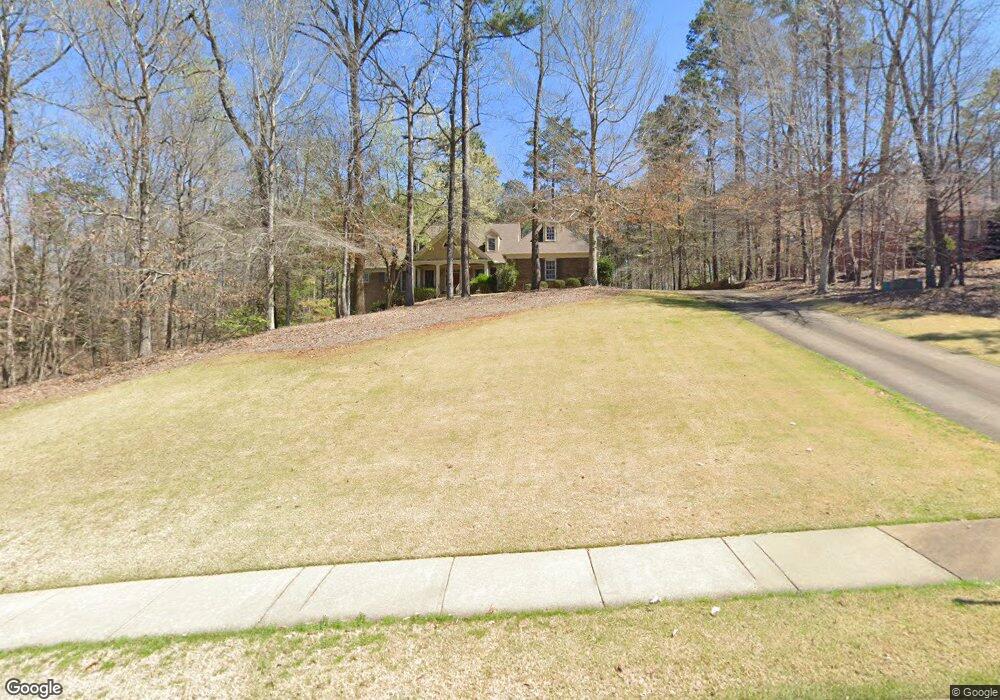
303 High Pointe Dr Lagrange, GA 30240
Estimated Value: $570,624 - $761,000
4
Beds
3
Baths
2,873
Sq Ft
$229/Sq Ft
Est. Value
About This Home
This home is located at 303 High Pointe Dr, Lagrange, GA 30240 and is currently estimated at $658,656, approximately $229 per square foot. 303 High Pointe Dr is a home located in Troup County with nearby schools including Franklin Forest Elementary School, Hollis Hand Elementary School, and Ethel W. Kight Elementary School.
Ownership History
Date
Name
Owned For
Owner Type
Purchase Details
Closed on
Jul 22, 2024
Sold by
Mcinvale Gerald D
Bought by
Gerald Dalton Mcinvale Revocable Trust and Mcinvale Gerald Dalton Trust
Current Estimated Value
Purchase Details
Closed on
Jan 8, 2001
Sold by
Broadwater Dev Corp
Bought by
Charles R Pollock
Purchase Details
Closed on
Apr 1, 1988
Bought by
Broadwater Dev Corp
Create a Home Valuation Report for This Property
The Home Valuation Report is an in-depth analysis detailing your home's value as well as a comparison with similar homes in the area
Purchase History
| Date | Buyer | Sale Price | Title Company |
|---|---|---|---|
| Gerald Dalton Mcinvale Revocable Trust | -- | -- | |
| Charles R Pollock | $455,000 | -- | |
| Broadwater Dev Corp | -- | -- |
Source: Public Records
Tax History
| Year | Tax Paid | Tax Assessment Tax Assessment Total Assessment is a certain percentage of the fair market value that is determined by local assessors to be the total taxable value of land and additions on the property. | Land | Improvement |
|---|---|---|---|---|
| 2025 | $6,739 | $266,840 | $20,000 | $246,840 |
| 2024 | $5,863 | $216,960 | $18,000 | $198,960 |
| 2023 | $5,428 | $201,000 | $18,000 | $183,000 |
| 2022 | $5,365 | $194,200 | $18,000 | $176,200 |
| 2021 | $5,453 | $182,800 | $14,000 | $168,800 |
| 2020 | $5,453 | $182,800 | $14,000 | $168,800 |
| 2019 | $5,434 | $182,160 | $20,000 | $162,160 |
| 2018 | $5,434 | $182,160 | $20,000 | $162,160 |
| 2017 | $5,434 | $182,160 | $20,000 | $162,160 |
| 2016 | $5,444 | $182,483 | $20,000 | $162,483 |
| 2015 | $5,453 | $182,483 | $20,000 | $162,483 |
| 2014 | $5,361 | $179,133 | $20,000 | $159,133 |
| 2013 | -- | $168,265 | $20,000 | $148,265 |
Source: Public Records
Map
Nearby Homes
- 205 River Oaks Dr
- 209 River Oaks Dr
- 103 Windridge
- 107 Windridge
- 109 Windridge
- 114 Red Oak Trail
- 91 Richmond Dr
- 103 Woodchase
- 103 Powers Ct
- 130 Sunny Point Cir
- 127 Ashling Dr
- 115 Meadowland Trail
- 110 Pond View Point
- 1351 New Franklin Rd
- 203 View Pointe Ln
- 1784 Mooty Bridge Rd
- 203 N View Pointe Dr
- 207 N View Pointe Dr
- 1218 New Franklin Rd
- 405 Canterbury Dr
- 305 High Pointe Dr
- 301 High Pointe Dr Unit 99 & 100
- 301 High Pointe Dr
- 307 High Pointe Dr Unit 96
- 307 High Pointe Dr
- 207 River Oaks Dr
- 0 High Point Dr Unit 96 7052398
- 0 High Point Dr Unit 92 7052394
- 0 High Point Dr Unit 91 7052389
- 0 High Point Dr Unit 90 7052386
- 0 High Point Dr Unit 89 7052382
- 0 High Point Dr Unit 92 7607766
- 0 High Point Dr Unit 91 7607765
- 0 High Point Dr Unit 90 7607759
- 0 High Point Dr Unit 89 7607749
- 309 High Pointe Dr
- 211 River Oaks Dr
- 312 High Pointe Dr Unit 84
- 312 High Pointe Dr
- 143 Oakmont Dr
Your Personal Tour Guide
Ask me questions while you tour the home.