303 Laurie Dr Unit 2 Lockport, IL 60441
Estimated Value: $246,000 - $390,000
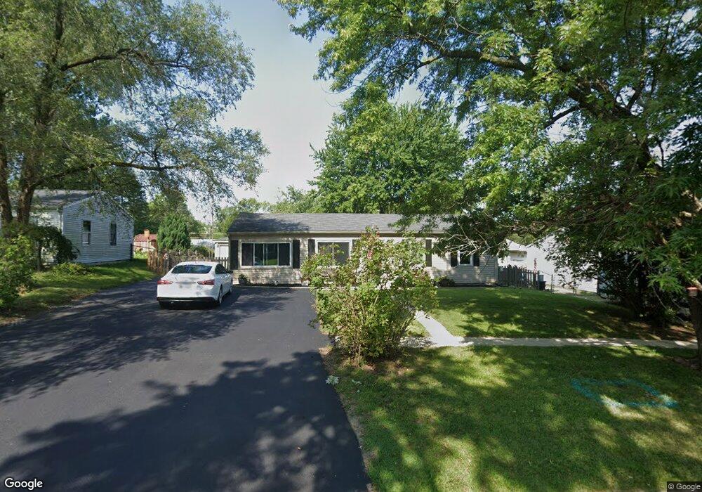
About This Home
This home is located at 303 Laurie Dr Unit 2, Lockport, IL 60441 and is currently estimated at $302,589, approximately $262 per square foot. 303 Laurie Dr Unit 2 is a home located in Will County with nearby schools including Walsh Elementary School, Ludwig Elementary School, and Reed Elementary School.
Ownership History
We collect this data history from publicly available records. To have your information removed, we recommend requesting removal directly through your county’s website.
Purchase Details
Home Financials for this Owner
Home Financials are based on the most recent Mortgage that was taken out on this home.Home Values in the Area
Average Home Value in this Area
Purchase History
We collect this data history from publicly available records. To have your information removed, we recommend requesting removal directly through your county’s website.
| Date | Buyer | Sale Price | Title Company |
|---|---|---|---|
| $91,500 | Land Title Group Inc |
Mortgage History
We collect this data history from publicly available records. To have your information removed, we recommend requesting removal directly through your county’s website.
| Date | Status | Borrower | Loan Amount |
|---|---|---|---|
| Open | $81,500 |
Tax History
We collect this data history from publicly available records. To have your information removed, we recommend requesting removal directly through your county’s website.
| Year | Tax Paid | Tax Assessment Tax Assessment Total Assessment is a certain percentage of the fair market value that is determined by local assessors to be the total taxable value of land and additions on the property. | Land | Improvement |
|---|---|---|---|---|
| 2024 | $5,649 | $77,549 | $26,720 | $50,829 |
| 2023 | $5,349 | $69,620 | $23,988 | $45,632 |
| 2022 | $4,691 | $63,948 | $22,376 | $41,572 |
| 2021 | $4,390 | $60,096 | $21,028 | $39,068 |
| 2020 | $4,268 | $58,120 | $20,337 | $37,783 |
| 2019 | $4,010 | $55,090 | $19,277 | $35,813 |
| 2018 | $3,596 | $49,135 | $17,821 | $31,314 |
| 2017 | $3,412 | $46,384 | $16,823 | $29,561 |
| 2016 | $3,214 | $43,472 | $15,767 | $27,705 |
| 2015 | $2,616 | $38,299 | $13,891 | $24,408 |
| 2014 | $2,616 | $35,462 | $12,862 | $22,600 |
| 2013 | $2,616 | $36,185 | $13,124 | $23,061 |
Map
- 307 Laurie Dr
- 1323 Highland Ave
- 1319 Highland Ave
- 1309 E North St
- 1241 Saint Charles Dr
- 800 Lisdowney Dr
- 1352 Lacoma Ct
- 9.5 Acres S Archer Ave
- 15526 S Scott Dr
- 1013 Northern Dr
- 629 Thornton St
- 1244 Newbridge Ave
- 1125 Darin Dr
- 700 Maryknoll Dr Unit 2
- 1011 Ashley Ct S Unit 2D
- 0 151st & MacGregor St Unit MRD11873272
- 0 N State St Unit 10995892
- 16533 W Mckenzie Ave
- 15303 S Oak Run Ct
- 1024 Kylemore Ct
- 309 Laurie Dr
- 305 Laurie Dr
- 310 Macgregor Rd
- 311 Laurie Dr
- 312 Macgregor Rd
- 306 Macgregor Rd
- 314 Macgregor Rd
- 308 Laurie Dr Unit 2
- 306 Laurie Dr
- 313 Laurie Dr
- 310 Laurie Dr
- 304 Laurie Dr
- 301 Laurie Dr
- 316 Macgregor Rd
- 304 Macgregor Rd
- 312 Laurie Dr
- 302 Laurie Dr
- 315 Laurie Dr
- 314 Laurie Dr
- 318 Macgregor Rd
Ask me questions while you tour the home.