3030 Bradford Dr Springfield, OH 45503
Estimated Value: $190,000 - $207,249
2
Beds
2
Baths
1,300
Sq Ft
$154/Sq Ft
Est. Value
About This Home
This home is located at 3030 Bradford Dr, Springfield, OH 45503 and is currently estimated at $199,812, approximately $153 per square foot. 3030 Bradford Dr is a home located in Clark County with nearby schools including Northridge Elementary School, Kenton Ridge Middle & High School, and Emmanuel Christian Academy.
Ownership History
Date
Name
Owned For
Owner Type
Purchase Details
Closed on
Oct 16, 2024
Sold by
Lucas Donald A and Lucas Jodi L
Bought by
Denlis Laura and Caldwell Anna C
Current Estimated Value
Home Financials for this Owner
Home Financials are based on the most recent Mortgage that was taken out on this home.
Original Mortgage
$209,000
Outstanding Balance
$205,309
Interest Rate
4.88%
Mortgage Type
New Conventional
Estimated Equity
-$5,497
Purchase Details
Closed on
Dec 8, 2017
Sold by
Morris Wilma M
Bought by
Lucas Donald A and Lucas Jodi L
Home Financials for this Owner
Home Financials are based on the most recent Mortgage that was taken out on this home.
Original Mortgage
$104,500
Interest Rate
3.94%
Mortgage Type
New Conventional
Purchase Details
Closed on
May 1, 2003
Sold by
Bauer Sylvia M
Bought by
Morris Wilma M
Create a Home Valuation Report for This Property
The Home Valuation Report is an in-depth analysis detailing your home's value as well as a comparison with similar homes in the area
Home Values in the Area
Average Home Value in this Area
Purchase History
| Date | Buyer | Sale Price | Title Company |
|---|---|---|---|
| Denlis Laura | $220,000 | Team Title & Closing Services | |
| Lucas Donald A | $110,000 | None Available | |
| Morris Wilma M | $96,000 | -- |
Source: Public Records
Mortgage History
| Date | Status | Borrower | Loan Amount |
|---|---|---|---|
| Open | Denlis Laura | $209,000 | |
| Previous Owner | Lucas Donald A | $104,500 |
Source: Public Records
Tax History
| Year | Tax Paid | Tax Assessment Tax Assessment Total Assessment is a certain percentage of the fair market value that is determined by local assessors to be the total taxable value of land and additions on the property. | Land | Improvement |
|---|---|---|---|---|
| 2025 | $1,650 | $52,870 | $7,350 | $45,520 |
| 2024 | $1,594 | $38,880 | $6,300 | $32,580 |
| 2023 | $1,594 | $38,880 | $6,300 | $32,580 |
| 2022 | $1,600 | $38,880 | $6,300 | $32,580 |
| 2021 | $1,831 | $38,050 | $5,250 | $32,800 |
| 2020 | $1,833 | $38,050 | $5,250 | $32,800 |
| 2019 | $1,870 | $38,050 | $5,250 | $32,800 |
| 2018 | $1,554 | $30,670 | $5,570 | $25,100 |
| 2017 | $944 | $29,999 | $5,565 | $24,434 |
| 2016 | $937 | $29,999 | $5,565 | $24,434 |
| 2015 | $836 | $29,684 | $5,250 | $24,434 |
| 2014 | $836 | $29,684 | $5,250 | $24,434 |
| 2013 | $834 | $29,684 | $5,250 | $24,434 |
Source: Public Records
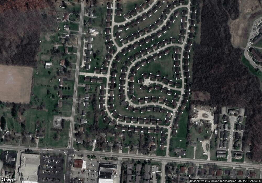
Map
Nearby Homes
- 1013 Abington Place
- 1039 Bradford Dr Unit 42
- 1139 Bradford Dr
- 1136 Foxboro Rd Unit 202
- 3052 Brixton Dr E
- 3124 El Camino Dr
- 3135 Imperial Blvd
- 3211 Haverhill St
- 1525 Providence Ave
- 615 Villa Rd Unit B
- 1404 Attleboro Ave
- 1201 Kingsgate Rd
- 2943 Tarryton Ln
- 732 Grandview Dr Unit 732
- 3631 Kingsgate Ln
- 1500 Kingsgate Rd Unit 19430
- 1502 Kingsgate Rd Unit 19432
- 1500 Kingsgate Rd
- 1502 Kingsgate Rd
- 1503 Kingsgate Rd
- 3030 Bradford Dr Unit 52
- 3032 Bradford Dr Unit 51
- 1034 Bradford Dr
- 1034 Bradford Dr Unit 53
- 1037 Carson Ln Unit 65
- 1037 Carson Ln Unit XX
- 1033 Bradford Dr Unit 45
- 1038 Bradford Dr Unit 54
- 1038 Bradford Dr
- 3033 Bradford Dr
- 3034 Bradford Dr
- 1036 Carson Ln
- 1036 Carson Ln Unit 66
- 3035 Bradford Dr
- 1040 Bradford Dr
- 1037 Bradford Dr Unit 43
- 1039 Carson Ln Unit 64
- 3030 Armsgate Rd Unit 26
- 3036 Bradford Dr Unit 161
- 1038 Carson Ln
Your Personal Tour Guide
Ask me questions while you tour the home.