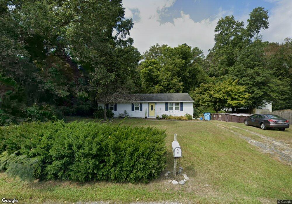
30396 Cannon Dr Salisbury, MD 21804
North Salisbury NeighborhoodEstimated Value: $133,000 - $220,000
Studio
1
Bath
1,104
Sq Ft
$167/Sq Ft
Est. Value
About This Home
This home is located at 30396 Cannon Dr, Salisbury, MD 21804 and is currently estimated at $184,864, approximately $167 per square foot. 30396 Cannon Dr is a home located in Wicomico County with nearby schools including West Salisbury Elementary School, North Salisbury Elementary School, and Wicomico Middle School.
Ownership History
Date
Name
Owned For
Owner Type
Purchase Details
Closed on
Jun 28, 2006
Sold by
Ketterman John and Ketterman Hallie
Bought by
White David W and White Gail H
Current Estimated Value
Purchase Details
Closed on
Jun 14, 2006
Sold by
Ketterman John and Ketterman Hallie
Bought by
White David W and White Gail H
Purchase Details
Closed on
Jan 21, 2004
Sold by
Parsons Roxie K
Bought by
Ketterman John and Ketterman Hallie
Purchase Details
Closed on
Aug 30, 1999
Sold by
Parsons Roxie K
Bought by
Parsons Roxie K and Ketterman Hallie M
Create a Home Valuation Report for This Property
The Home Valuation Report is an in-depth analysis detailing your home's value as well as a comparison with similar homes in the area
Home Values in the Area
Average Home Value in this Area
Purchase History
| Date | Buyer | Sale Price | Title Company |
|---|---|---|---|
| White David W | $90,000 | -- | |
| White David W | $90,000 | -- | |
| Ketterman John | -- | -- | |
| Parsons Roxie K | -- | -- |
Source: Public Records
Mortgage History
| Date | Status | Borrower | Loan Amount |
|---|---|---|---|
| Closed | Ketterman John | -- |
Source: Public Records
Tax History
| Year | Tax Paid | Tax Assessment Tax Assessment Total Assessment is a certain percentage of the fair market value that is determined by local assessors to be the total taxable value of land and additions on the property. | Land | Improvement |
|---|---|---|---|---|
| 2025 | $1,207 | $125,500 | $28,100 | $97,400 |
| 2024 | $1,196 | $118,467 | $0 | $0 |
| 2023 | $1,162 | $111,433 | $0 | $0 |
| 2022 | $1,124 | $104,400 | $28,100 | $76,300 |
| 2021 | $1,109 | $102,633 | $0 | $0 |
| 2020 | $1,100 | $100,867 | $0 | $0 |
| 2019 | $1,097 | $99,100 | $28,100 | $71,000 |
| 2018 | $1,094 | $98,267 | $0 | $0 |
| 2017 | $1,085 | $97,433 | $0 | $0 |
| 2016 | -- | $96,600 | $0 | $0 |
| 2015 | $1,079 | $96,600 | $0 | $0 |
| 2014 | $1,079 | $96,600 | $0 | $0 |
Source: Public Records
Map
Nearby Homes
- 30420 Cannon Dr
- 801 Outten Rd
- 911 Outten Rd
- 808 Friar Tuck Ln
- 2519 N Salisbury Blvd
- 310 Zion Rd
- 416 Birchwood Dr
- 703 Parker Rd
- 418 Twin Creeks Dr
- 415 Twin Creeks Dr
- 0 N U S 13 Unit 1004257479
- 1953 Pine Way
- 2120 Ruxton Dr
- 371 Wheatfield Dr
- 234 Clement Loop
- 237 Clement Loop
- 227 Clement Loop
- 242 Clement Loop
- 229 Clement Loop
- 233 Clement Loop
- 30386 Cannon Dr
- 30400 Cannon Dr
- 30406 Cannon Dr
- 30390 Cannon Dr
- 30417 Cannon Dr
- 30400 Bennett Rd
- 30408 Bennett Rd
- 30380 Cannon Dr
- 30410 Cannon Dr
- 30418 Bennett Rd
- 30425 Cannon Dr
- 30376 Cannon Dr
- 30397 Bennett Rd
- 30407 Bennett Rd
- 30411 Bennett Rd
- 30432 Bennett Rd
- 30428 Cannon Dr
- 30435 Cannon Dr
- 30372 Cannon Dr
- 30423 Bennett Rd
Your Personal Tour Guide
Ask me questions while you tour the home.