304 E Union St West Union, IL 62477
Estimated Value: $62,000 - $113,000
3
Beds
2
Baths
1,725
Sq Ft
$49/Sq Ft
Est. Value
About This Home
This home is located at 304 E Union St, West Union, IL 62477 and is currently estimated at $84,961, approximately $49 per square foot. 304 E Union St is a home located in Clark County with nearby schools including Hutsonville Elementary/Junior High School and Hutsonville High School.
Ownership History
Date
Name
Owned For
Owner Type
Purchase Details
Closed on
Aug 14, 2019
Sold by
Cody Dianna J and Cody John
Bought by
Morgan Aman B and Morgan Rebecca L
Current Estimated Value
Home Financials for this Owner
Home Financials are based on the most recent Mortgage that was taken out on this home.
Original Mortgage
$39,000
Outstanding Balance
$26,581
Interest Rate
5%
Mortgage Type
Future Advance Clause Open End Mortgage
Estimated Equity
$58,380
Purchase Details
Closed on
Jul 20, 2009
Sold by
Stillabower Ronald G
Bought by
Cody Dianna J
Create a Home Valuation Report for This Property
The Home Valuation Report is an in-depth analysis detailing your home's value as well as a comparison with similar homes in the area
Purchase History
| Date | Buyer | Sale Price | Title Company |
|---|---|---|---|
| Morgan Aman B | $27,000 | Attorney | |
| Cody Dianna J | $3,500 | None Available |
Source: Public Records
Mortgage History
| Date | Status | Borrower | Loan Amount |
|---|---|---|---|
| Open | Morgan Aman B | $39,000 |
Source: Public Records
Tax History
| Year | Tax Paid | Tax Assessment Tax Assessment Total Assessment is a certain percentage of the fair market value that is determined by local assessors to be the total taxable value of land and additions on the property. | Land | Improvement |
|---|---|---|---|---|
| 2024 | $748 | $10,558 | $877 | $9,681 |
| 2023 | $739 | $10,558 | $877 | $9,681 |
| 2022 | $682 | $9,427 | $783 | $8,644 |
| 2021 | $800 | $10,211 | $1,567 | $8,644 |
| 2019 | $223 | $4,075 | $2,070 | $2,005 |
| 2018 | $230 | $4,075 | $2,070 | $2,005 |
| 2017 | $236 | $4,168 | $2,117 | $2,051 |
| 2016 | $248 | $4,075 | $2,070 | $2,005 |
| 2015 | $252 | $4,043 | $2,055 | $1,988 |
| 2014 | $264 | $3,935 | $2,000 | $1,935 |
| 2013 | $264 | $3,935 | $2,000 | $1,935 |
Source: Public Records
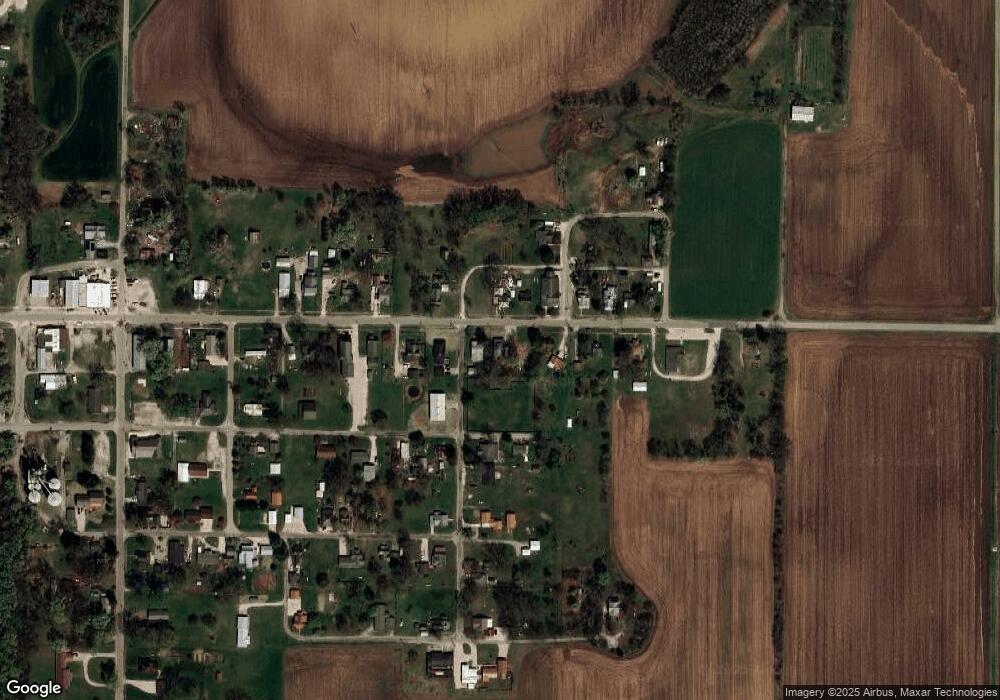
Map
Nearby Homes
- 106 E Union St
- 0 N River Rd
- 5178 N County Road 900 W
- 0 S Clark Prevo Place
- 109 North St
- 407 N Main St
- 0 N County Road 875 W
- South 500th Grand Turn Rd
- 100 N 2nd St
- 208 Wood Ln
- 8922 E 2000th Ave
- 6823 W Gobin Dr
- Ave
- 0 E 1650th Ave
- 12040 N Fox Rd
- 17000 S State Road 63
- 16657 E 1600th Ave
- 0000 W Yeager Dr
- 0000 County Road 1200 N
- 0 N 900th St
Your Personal Tour Guide
Ask me questions while you tour the home.