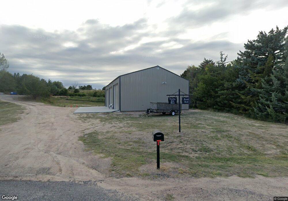
304 Forest Rd Sterling, CO 80751
Estimated Value: $388,762 - $536,000
3
Beds
2
Baths
2,366
Sq Ft
$194/Sq Ft
Est. Value
About This Home
This home is located at 304 Forest Rd, Sterling, CO 80751 and is currently estimated at $457,941, approximately $193 per square foot. 304 Forest Rd is a home located in Logan County with nearby schools including Ayres Elementary School, Campbell Elementary School, and Sterling Middle School.
Ownership History
Date
Name
Owned For
Owner Type
Purchase Details
Closed on
Feb 19, 2013
Sold by
Thomas Tadd O and Thomas Nanette L
Bought by
Lambert Norma L and Brammer Ray Ann
Current Estimated Value
Purchase Details
Closed on
Jun 6, 2008
Sold by
Weigel Sandra S
Bought by
Thomas Tadd O and Thomas Nanette L
Home Financials for this Owner
Home Financials are based on the most recent Mortgage that was taken out on this home.
Original Mortgage
$146,250
Interest Rate
6.07%
Mortgage Type
Future Advance Clause Open End Mortgage
Create a Home Valuation Report for This Property
The Home Valuation Report is an in-depth analysis detailing your home's value as well as a comparison with similar homes in the area
Purchase History
| Date | Buyer | Sale Price | Title Company |
|---|---|---|---|
| Lambert Norma L | $225,000 | Stewart Title | |
| Thomas Tadd O | $195,000 | Stewart Title Of Sterling |
Source: Public Records
Mortgage History
| Date | Status | Borrower | Loan Amount |
|---|---|---|---|
| Previous Owner | Thomas Tadd O | $146,250 |
Source: Public Records
Tax History
| Year | Tax Paid | Tax Assessment Tax Assessment Total Assessment is a certain percentage of the fair market value that is determined by local assessors to be the total taxable value of land and additions on the property. | Land | Improvement |
|---|---|---|---|---|
| 2025 | $1,478 | $25,543 | $0 | $0 |
| 2024 | $1,071 | $25,900 | $0 | $0 |
| 2023 | $1,071 | $25,900 | $0 | $0 |
| 2022 | $1,631 | $21,180 | $4,920 | $16,260 |
| 2021 | $1,586 | $21,790 | $5,060 | $16,730 |
| 2020 | $1,473 | $38,320 | $4,430 | $33,890 |
| 2019 | $1,470 | $38,060 | $4,400 | $33,660 |
| 2018 | $1,544 | $19,940 | $3,960 | $15,980 |
| 2017 | $1,515 | $96,930 | $19,250 | $77,680 |
| 2015 | $582 | $84,080 | $17,500 | $66,580 |
| 2014 | $582 | $67,070 | $16,630 | $50,440 |
| 2013 | $582 | $67,070 | $16,630 | $50,440 |
Source: Public Records
Map
Nearby Homes
- 511 Pawnee Dr
- 107 Juniper Dr
- 512 Springdale Rd
- 12350 Beverly Ln
- 106 Highland Ave
- 209 Springdale Rd
- 100 Belaire Cir
- 1010 Fairhurst St
- 1013 S 10th Ave
- 909 Fairhurst St
- 13640 Colorado 14
- 1617 Zachary Dr
- 714 Delmar St
- 720 Phelps St
- 817 Nicole Rd
- 731 Douglas St
- 804 Nicole Rd
- 603 Park St Unit 106
- 1123 Kings Ct Unit 77
- 530 Taylor St
- 306 Forest Rd
- 208 Country Club Dr
- 308 Forest Rd
- 209 Country Club Dr
- 304 Willow Rd
- 310 Willow Rd
- 315 Cottonwood Ln
- 0 Country Club Dr
- 205 Country Club Dr
- 215 Country Club Dr
- 501 Springdale Rd
- 302 Cottonwood Ln
- 407 Springdale Rd
- 306 Cottonwood Ln
- 202 Country Club Dr
- 409 Springdale Rd
- 405 Springdale Rd
- 411 Springdale Rd
- 500 Springdale Rd
- 310 Cottonwood Ln
Your Personal Tour Guide
Ask me questions while you tour the home.