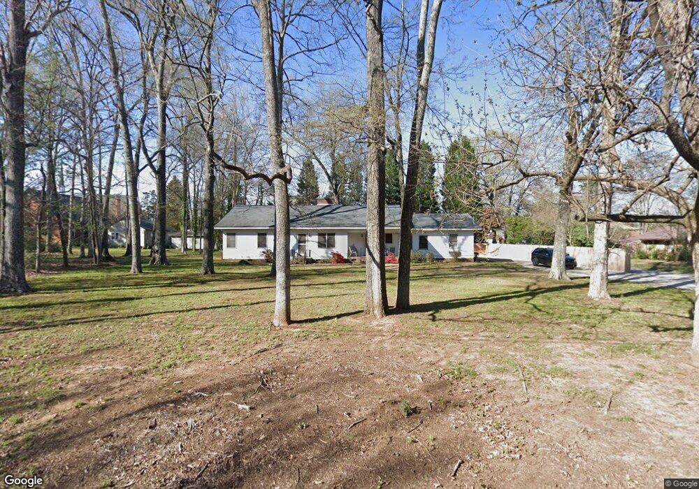
304 S Link Ave Salisbury, NC 28144
Estimated Value: $219,000 - $295,000
Studio
2
Baths
2,162
Sq Ft
$123/Sq Ft
Est. Value
About This Home
This home is located at 304 S Link Ave, Salisbury, NC 28144 and is currently estimated at $265,979, approximately $123 per square foot. 304 S Link Ave is a home located in Rowan County with nearby schools including Carroll T Overton Elementary School, North Rowan Middle School, and Salisbury High School.
Ownership History
Date
Name
Owned For
Owner Type
Purchase Details
Closed on
Jan 26, 2024
Sold by
Ellisons Estates Residential Properties
Bought by
Angle Latasha
Current Estimated Value
Purchase Details
Closed on
Sep 1, 2020
Sold by
Kluttz Ellison Robin M
Bought by
Ellisons Estates Residential Prop Llc
Purchase Details
Closed on
Jun 22, 2017
Sold by
Cline William S
Bought by
Kluttz Ellison Robin
Create a Home Valuation Report for This Property
The Home Valuation Report is an in-depth analysis detailing your home's value as well as a comparison with similar homes in the area
Home Values in the Area
Average Home Value in this Area
Purchase History
| Date | Buyer | Sale Price | Title Company |
|---|---|---|---|
| Angle Latasha | $55,500 | None Listed On Document | |
| Angle Latasha | $55,500 | None Listed On Document | |
| Ellisons Estates Residential Prop Llc | -- | None Available | |
| Kluttz Ellison Robin | -- | None Available |
Source: Public Records
Tax History
| Year | Tax Paid | Tax Assessment Tax Assessment Total Assessment is a certain percentage of the fair market value that is determined by local assessors to be the total taxable value of land and additions on the property. | Land | Improvement |
|---|---|---|---|---|
| 2025 | $2,231 | $186,560 | $40,163 | $146,397 |
| 2024 | $2,231 | $186,560 | $40,163 | $146,397 |
| 2023 | $2,231 | $186,560 | $40,163 | $146,397 |
| 2022 | $1,604 | $116,449 | $30,594 | $85,855 |
| 2021 | $1,604 | $116,449 | $30,594 | $85,855 |
| 2020 | $1,604 | $116,449 | $30,594 | $85,855 |
| 2019 | $1,604 | $116,449 | $30,594 | $85,855 |
| 2018 | $1,493 | $109,870 | $30,593 | $79,277 |
| 2017 | $1,485 | $109,870 | $30,593 | $79,277 |
| 2016 | $1,444 | $109,870 | $30,593 | $79,277 |
| 2015 | $1,453 | $109,870 | $30,593 | $79,277 |
| 2014 | $1,450 | $110,938 | $28,408 | $82,530 |
Source: Public Records
Map
Nearby Homes
- 308 S Merritt Ave
- 301 S Merritt Ave
- 1304 Brenner Ave
- 127 Lilly Ave
- 400 Statesville Blvd
- 154 Lilly Ave
- 151 E Corriher Ave
- 225 Valleyview Place
- 1329 W Bank St
- 411 Grim St
- 1300 Larchmont Place Unit 504
- 1300 Larchmont Place Unit 810
- 1300 Larchmont Place Unit 311
- 1219 Old Wilkesboro Rd
- 725 Mocksville Ave
- 1728 Colony Rd
- 00 W Horah St
- 0 Old Mocksville Rd Unit CAR4366537
- 0 Old Mocksville Rd Unit 1215149
- 730 W Innes St
- 125 Overman Ave
- 301 S Link Ave
- 1600 Brenner Ave
- 117 Overman Ave
- 117 Overman Ave Unit D
- 117 Overman Ave Unit A-D
- 117 Overman Ave Unit C
- 117 Overman Ave Unit A
- 117 Overman Ave Unit B
- 117 Overman Ave Unit NULL
- 225 S Link Ave
- 1620 Brenner Ave
- 113 Overman Ave
- 329 S Link Ave
- 329 S Link Ave Unit NULL
- 1701 Walker St
- 211 S Link Ave
- 1514 Brenner Ave
- 109 Overman Ave
- 1707 Walker St
Your Personal Tour Guide
Ask me questions while you tour the home.