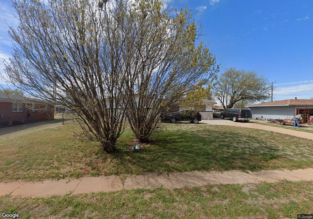
304 Suwannee Rd Burns Flat, OK 73647
Estimated Value: $86,000 - $105,000
3
Beds
2
Baths
1,608
Sq Ft
$58/Sq Ft
Est. Value
About This Home
This home is located at 304 Suwannee Rd, Burns Flat, OK 73647 and is currently estimated at $92,492, approximately $57 per square foot. 304 Suwannee Rd is a home with nearby schools including Will Rogers Elementary School and Burns Flat-Dill City High School.
Ownership History
Date
Name
Owned For
Owner Type
Purchase Details
Closed on
Sep 30, 2004
Sold by
Marla Steve and Marla Austin
Bought by
Linda Douglas and Linda Johnson
Current Estimated Value
Purchase Details
Closed on
Aug 29, 2002
Sold by
Ellis
Bought by
Austin Steven Earl
Purchase Details
Closed on
Jul 9, 2001
Sold by
Ellis
Bought by
Austin Steven Earl
Purchase Details
Closed on
Jun 26, 1995
Sold by
Caves Family Trust
Bought by
Johnston Gladys
Create a Home Valuation Report for This Property
The Home Valuation Report is an in-depth analysis detailing your home's value as well as a comparison with similar homes in the area
Purchase History
| Date | Buyer | Sale Price | Title Company |
|---|---|---|---|
| Linda Douglas | $57,000 | -- | |
| Austin Steven Earl | $38,000 | -- | |
| Austin Steven Earl | $38,000 | -- | |
| Johnston Gladys | $16,500 | -- |
Source: Public Records
Tax History
| Year | Tax Paid | Tax Assessment Tax Assessment Total Assessment is a certain percentage of the fair market value that is determined by local assessors to be the total taxable value of land and additions on the property. | Land | Improvement |
|---|---|---|---|---|
| 2025 | $363 | $5,857 | $110 | $5,747 |
| 2024 | $350 | $5,686 | $110 | $5,576 |
| 2023 | $337 | $5,521 | $110 | $5,411 |
| 2022 | $353 | $5,360 | $110 | $5,250 |
| 2021 | $334 | $5,204 | $110 | $5,094 |
| 2020 | $345 | $5,341 | $110 | $5,231 |
| 2019 | $352 | $5,478 | $110 | $5,368 |
| 2018 | $356 | $5,479 | $110 | $5,369 |
| 2017 | $369 | $5,616 | $110 | $5,506 |
| 2016 | $371 | $5,617 | $110 | $5,507 |
| 2015 | $367 | $5,626 | $110 | $5,516 |
| 2014 | $367 | $5,732 | $110 | $5,622 |
Source: Public Records
Map
Nearby Homes
- 212 Iroquois Trail
- 214 Pawnee Rd
- 305 Seminole Trail
- 400 Cherokee Trail
- 21303 E 990 Rd
- 21238 Highway 73
- 204 Elaine Dr
- 313 Bryan
- 0 I-40 Frontage Road 26 Acres
- 409 S McDonald St
- 12004 N 2110 Rd
- 20850 E 1110 Rd
- 112 E Main
- 716 S Main St
- 21508 S Frontage Rd
- 11117 N 2073 Rd
- 105 E Walk
- 302 S 2nd St
- 0 E 1220 Rd
- 21480 E 1210 Rd
- 306 Suwannee Rd
- 302 Suwannee Rd
- 308 Suwannee Rd
- 305 Potomac Rd
- 307 Potomac Rd
- 303 Potomac Rd
- 303 Potomac Rd
- 309 Potomac Rd
- 303 Suwannee Rd
- 307 Suwannee Rd
- 301 Suwannee Rd
- 313 Potomac Rd
- 309 Suwannee Rd
- 300 Suwannee Rd
- 311 Potomac Rd
- 310 Suwannee Rd
- 306 Potomac Rd
- 312 Suwannee Rd
- 211 Suwannee Rd
- 302 Potomac Rd
Your Personal Tour Guide
Ask me questions while you tour the home.