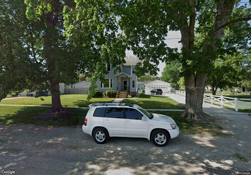
305 E Main St Atkinson, IL 61235
Estimated Value: $104,000 - $167,000
4
Beds
--
Bath
852
Sq Ft
$146/Sq Ft
Est. Value
About This Home
This home is located at 305 E Main St, Atkinson, IL 61235 and is currently estimated at $124,226, approximately $145 per square foot. 305 E Main St is a home located in Henry County with nearby schools including Geneseo High School.
Ownership History
Date
Name
Owned For
Owner Type
Purchase Details
Closed on
Jan 27, 2011
Sold by
Elliott Raymond A
Bought by
Elliott Timothy A
Current Estimated Value
Home Financials for this Owner
Home Financials are based on the most recent Mortgage that was taken out on this home.
Original Mortgage
$94,400
Interest Rate
4.56%
Mortgage Type
New Conventional
Purchase Details
Closed on
Dec 1, 2010
Sold by
Dereu Marcus C and Dereu Valerie L
Bought by
Elliott Raymond A
Home Financials for this Owner
Home Financials are based on the most recent Mortgage that was taken out on this home.
Original Mortgage
$94,400
Interest Rate
4.56%
Mortgage Type
New Conventional
Create a Home Valuation Report for This Property
The Home Valuation Report is an in-depth analysis detailing your home's value as well as a comparison with similar homes in the area
Purchase History
| Date | Buyer | Sale Price | Title Company |
|---|---|---|---|
| Elliott Timothy A | $49,000 | None Available | |
| Elliott Raymond A | -- | None Available |
Source: Public Records
Mortgage History
| Date | Status | Borrower | Loan Amount |
|---|---|---|---|
| Previous Owner | Elliott Timothy A | $94,400 |
Source: Public Records
Tax History
| Year | Tax Paid | Tax Assessment Tax Assessment Total Assessment is a certain percentage of the fair market value that is determined by local assessors to be the total taxable value of land and additions on the property. | Land | Improvement |
|---|---|---|---|---|
| 2024 | $2,595 | $38,905 | $4,434 | $34,471 |
| 2023 | $2,310 | $35,890 | $4,090 | $31,800 |
| 2022 | $2,140 | $33,048 | $3,766 | $29,282 |
| 2021 | $2,000 | $30,600 | $3,487 | $27,113 |
| 2020 | $1,920 | $29,778 | $3,394 | $26,384 |
| 2019 | $1,882 | $29,333 | $3,343 | $25,990 |
| 2018 | $1,328 | $22,246 | $3,246 | $19,000 |
| 2017 | $1,283 | $21,662 | $3,161 | $18,501 |
| 2016 | $1,280 | $21,554 | $3,145 | $18,409 |
| 2015 | $1,289 | $21,554 | $3,145 | $18,409 |
| 2013 | $1,289 | $10,641 | $3,177 | $7,464 |
Source: Public Records
Map
Nearby Homes
- 420 Margaret St
- 203 Hamilton St
- 22308 N 2120th Ave
- 502 W Front St
- 108 S Main St
- 317 N Canal St
- 000 Hennepin Canal Parkway Trail
- 8 Pine Ridge Ln
- 918 S Chicago St
- 524 E Chestnut St
- 944 S Iowa St Unit 2
- 500 E Pearl St
- 623 E Park St
- 310 Hillcrest Dr
- 00 N Chicago St
- 817 S Illinois St
- 549 E Park St
- 0 S Oakwood Ave Unit MRDQC4257560
- 224 Pin Oak Dr
- 721 Ash Dr
Your Personal Tour Guide
Ask me questions while you tour the home.