Estimated Value: $634,000 - $696,000
4
Beds
3
Baths
2,967
Sq Ft
$220/Sq Ft
Est. Value
About This Home
This home is located at 305 Grogan Rd, Barre, MA 01005 and is currently estimated at $654,042, approximately $220 per square foot. 305 Grogan Rd is a home located in Worcester County with nearby schools including Quabbin Regional Middle School and Quabbin Regional High School.
Ownership History
Date
Name
Owned For
Owner Type
Purchase Details
Closed on
Jan 6, 2006
Sold by
Burke Dawn M and Burke James M
Bought by
Broberg Craig V and Broberg Joanne E
Current Estimated Value
Home Financials for this Owner
Home Financials are based on the most recent Mortgage that was taken out on this home.
Original Mortgage
$389,700
Interest Rate
6.28%
Mortgage Type
Purchase Money Mortgage
Create a Home Valuation Report for This Property
The Home Valuation Report is an in-depth analysis detailing your home's value as well as a comparison with similar homes in the area
Home Values in the Area
Average Home Value in this Area
Purchase History
| Date | Buyer | Sale Price | Title Company |
|---|---|---|---|
| Broberg Craig V | $433,000 | -- | |
| Broberg Craig V | $433,000 | -- |
Source: Public Records
Mortgage History
| Date | Status | Borrower | Loan Amount |
|---|---|---|---|
| Open | Broberg Craig V | $361,838 | |
| Closed | Broberg Craig V | $389,700 | |
| Previous Owner | Broberg Craig V | $20,000 |
Source: Public Records
Tax History
| Year | Tax Paid | Tax Assessment Tax Assessment Total Assessment is a certain percentage of the fair market value that is determined by local assessors to be the total taxable value of land and additions on the property. | Land | Improvement |
|---|---|---|---|---|
| 2025 | $8,009 | $589,300 | $64,400 | $524,900 |
| 2024 | $7,948 | $568,500 | $60,600 | $507,900 |
| 2023 | $7,093 | $447,200 | $48,600 | $398,600 |
| 2022 | $7,337 | $435,700 | $42,200 | $393,500 |
| 2021 | $6,973 | $387,400 | $42,200 | $345,200 |
| 2020 | $6,694 | $374,600 | $42,200 | $332,400 |
| 2019 | $6,438 | $355,300 | $38,600 | $316,700 |
| 2018 | $6,311 | $335,700 | $38,600 | $297,100 |
| 2017 | $6,156 | $329,200 | $38,600 | $290,600 |
| 2016 | $5,737 | $322,300 | $35,000 | $287,300 |
| 2015 | $5,754 | $308,700 | $42,900 | $265,800 |
| 2014 | $4,816 | $299,900 | $50,400 | $249,500 |
Source: Public Records
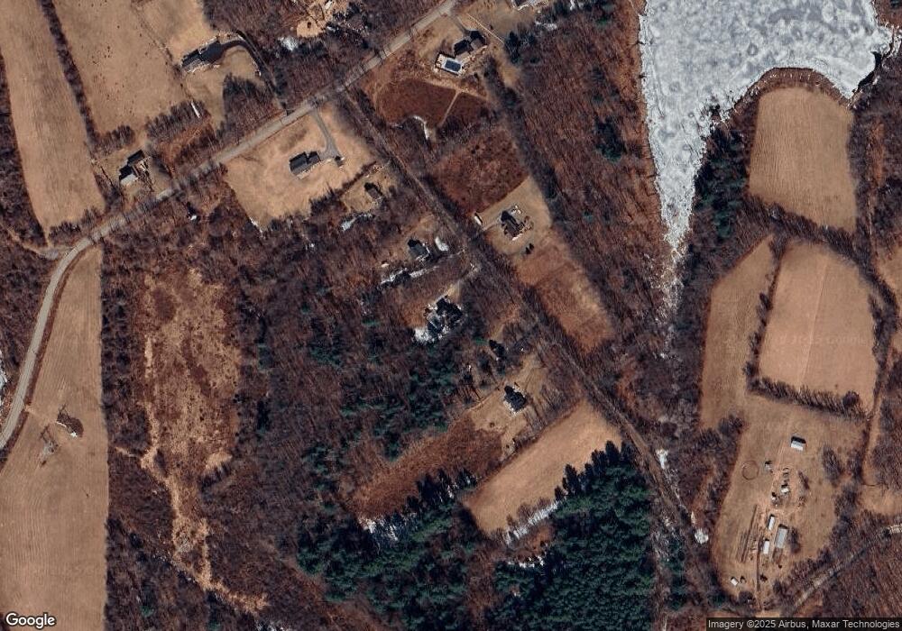
Map
Nearby Homes
- 277 West St
- 1215 South St
- 50 Grove St N
- 0 Agnese Ct Unit 73478399
- 0 Glancy Rd
- 231 Chamberlain Hill Rd
- 52 Summer St
- 1000 West St
- 865 S Barre Rd
- 23 Trafalgar Square Unit 23
- 0 Station Rd
- 661 Wheelwright Rd
- 278 Oakham Rd
- 999 Old Coldbrook Rd
- 20 Dana Rd
- P2 Thresher Rd
- P1 Thresher Rd
- 38 Edson Rd
- 1082 Old Dana Rd
- 1107 Jackson Rd
- 289 Grogan Rd
- 325 Grogan Rd
- 324 Grogan Rd
- 273 Grogan Rd
- 345 Grogan Rd
- 525 Wauwinet Rd
- Lot 4a Grogan Rd
- 0 Grogan Rd
- 473 Wauwinet Rd
- 0 Wauwinet Road (Lot 8) Unit 71475277
- 500 Wauwinet Rd
- 471 Wauwinet Rd
- Lot 9 Wauwinet Rd
- 582 Wauwinet Rd
- 528 Wauwinet Rd
- 460 Wauwinet Rd
- 167 Grogan Rd
- 110 Grogan Rd
- 332 Wauwinet Rd
- 734 Wauwinet Rd
Your Personal Tour Guide
Ask me questions while you tour the home.