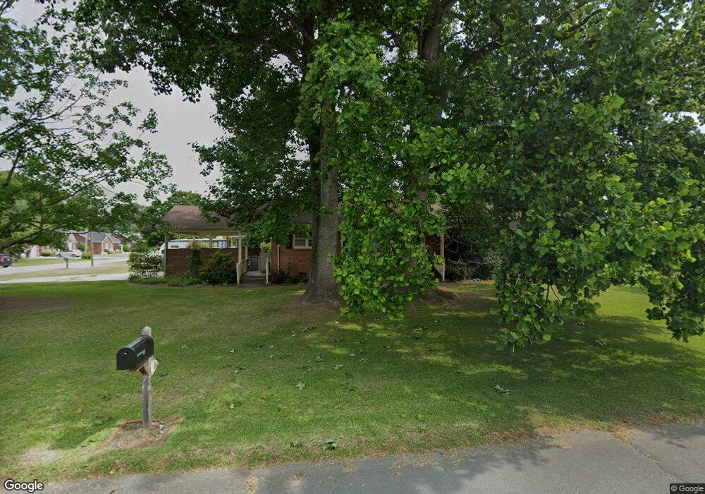
305 Grove St Clinton, NC 28328
Clinton AreaEstimated Value: $238,950 - $261,000
About This Home
This home is located at 305 Grove St, Clinton, NC 28328 and is currently estimated at $251,738, approximately $138 per square foot. 305 Grove St is a home located in Sampson County with nearby schools including Langdon C. Kerr Elementary School, Sunset Avenue Elementary School, and Butler Avenue Elementary School.
Ownership History
We collect this data history from publicly available records. To have your information removed, we recommend requesting removal directly through your county’s website.
Purchase Details
Purchase Details
Home Financials for this Owner
Home Financials are based on the most recent Mortgage that was taken out on this home.Purchase History
We collect this data history from publicly available records. To have your information removed, we recommend requesting removal directly through your county’s website.
| Date | Buyer | Sale Price | Title Company |
|---|---|---|---|
| -- | None Listed On Document | ||
| $150,000 | -- |
Mortgage History
We collect this data history from publicly available records. To have your information removed, we recommend requesting removal directly through your county’s website.
| Date | Status | Borrower | Loan Amount |
|---|---|---|---|
| Previous Owner | $146,750 | ||
| Previous Owner | $150,000 | ||
| Previous Owner | $82,000 |
Tax History
We collect this data history from publicly available records. To have your information removed, we recommend requesting removal directly through your county’s website.
| Year | Tax Paid | Tax Assessment Tax Assessment Total Assessment is a certain percentage of the fair market value that is determined by local assessors to be the total taxable value of land and additions on the property. | Land | Improvement |
|---|---|---|---|---|
| 2025 | $2,510 | $220,210 | $19,059 | $201,151 |
| 2024 | $2,378 | $220,210 | $19,059 | $201,151 |
| 2023 | $2,048 | $149,464 | $16,632 | $132,832 |
| 2022 | $2,048 | $149,464 | $16,632 | $132,832 |
| 2021 | $2,048 | $149,464 | $16,632 | $132,832 |
| 2020 | $2,048 | $149,464 | $16,632 | $132,832 |
| 2019 | $2,048 | $149,464 | $0 | $0 |
| 2018 | $1,915 | $139,786 | $0 | $0 |
| 2017 | $1,915 | $139,786 | $0 | $0 |
| 2016 | $1,922 | $139,786 | $0 | $0 |
| 2015 | $1,922 | $139,786 | $0 | $0 |
| 2014 | $1,922 | $139,786 | $0 | $0 |
Map
- 1011 Raleigh Rd
- 309 Fairfax St
- 703 Underwood St
- 100 Wilson St Unit A
- 502 Raleigh Rd
- 504 Pineview Rd
- 903 E Balsey St
- 612 Blaney St
- 512 Nicholson St
- 605 E Cutchin St
- 21 Northgate Ln
- 200 Southeast Blvd
- 407 Vann Dr
- 45 Hb Lewis Rd
- 207 Stewart Ave
- 0 Pugh Rd Unit 100511738
- 0 Pugh Rd
- 203 Stewart Ave
- 735 Faison Hwy
- 31 Abron St
- 307 Grove St
- 308 Grove St
- 502 Allen St
- 306 Grove St
- 405 Underwood St
- 503 Underwood St
- 304 Grove St
- 0 Underwood St Unit 30417234
- Lot 2 Underwood St
- 0 Underwood St
- 400 Underwood St
- 403 Underwood St
- 303 Grove St
- 504 Allen St
- 500 Underwood St
- 505 Underwood St
- 503 Allen St
- 307 Willow Rd
- 302 Grove St
- 311 Willow Rd
Ask me questions while you tour the home.