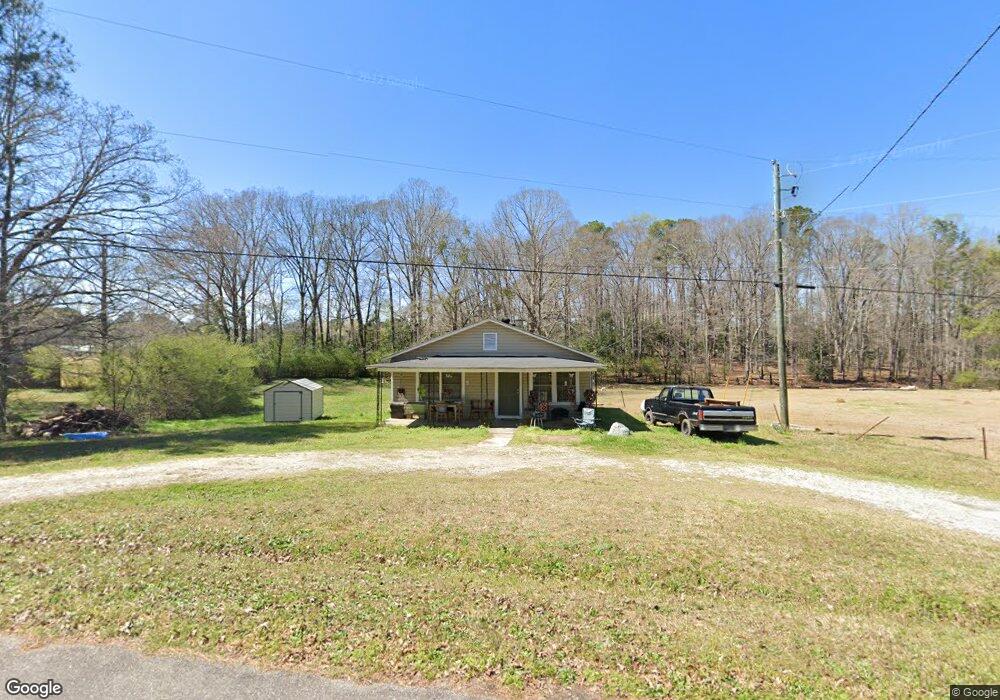
305 Harmon Rd Lagrange, GA 30241
Estimated Value: $86,284 - $125,000
2
Beds
1
Bath
1,052
Sq Ft
$103/Sq Ft
Est. Value
About This Home
This home is located at 305 Harmon Rd, Lagrange, GA 30241 and is currently estimated at $108,321, approximately $102 per square foot. 305 Harmon Rd is a home located in Troup County with nearby schools including Hollis Hand Elementary School, Franklin Forest Elementary School, and Ethel W. Kight Elementary School.
Ownership History
Date
Name
Owned For
Owner Type
Purchase Details
Closed on
Nov 23, 2015
Sold by
Thomas Beverly A
Bought by
Thomas Beverly A
Current Estimated Value
Purchase Details
Closed on
Jun 10, 1997
Sold by
Alton David Argroves By Ex
Bought by
Argroves Lucille Gill
Purchase Details
Closed on
Mar 20, 1997
Bought by
Alton David Argroves By Ex
Purchase Details
Closed on
Jan 9, 1976
Sold by
Spradlin Billy Jack
Purchase Details
Closed on
Feb 2, 1962
Sold by
Valeri Antonetta
Bought by
Spradlin Billy Jack
Create a Home Valuation Report for This Property
The Home Valuation Report is an in-depth analysis detailing your home's value as well as a comparison with similar homes in the area
Purchase History
| Date | Buyer | Sale Price | Title Company |
|---|---|---|---|
| Thomas Beverly A | -- | -- | |
| Argroves Lucille Gill | -- | -- | |
| Alton David Argroves By Ex | -- | -- | |
| -- | $9,500 | -- | |
| Spradlin Billy Jack | -- | -- |
Source: Public Records
Tax History
| Year | Tax Paid | Tax Assessment Tax Assessment Total Assessment is a certain percentage of the fair market value that is determined by local assessors to be the total taxable value of land and additions on the property. | Land | Improvement |
|---|---|---|---|---|
| 2025 | $624 | $22,880 | $3,880 | $19,000 |
| 2024 | $538 | $19,712 | $3,880 | $15,832 |
| 2023 | $541 | $19,848 | $3,880 | $15,968 |
| 2022 | $522 | $18,720 | $3,880 | $14,840 |
| 2021 | $551 | $18,280 | $3,880 | $14,400 |
| 2020 | $338 | $11,200 | $3,880 | $7,320 |
| 2019 | $343 | $11,360 | $3,720 | $7,640 |
| 2018 | $318 | $10,560 | $3,720 | $6,840 |
| 2017 | $329 | $10,912 | $3,720 | $7,192 |
| 2016 | $329 | $10,909 | $3,720 | $7,189 |
| 2015 | $330 | $10,909 | $3,720 | $7,189 |
| 2014 | $319 | $10,530 | $3,720 | $6,810 |
| 2013 | -- | $10,832 | $3,720 | $7,112 |
Source: Public Records
Map
Nearby Homes
- 100 Dove Creek Ct
- 200 River Meadow Dr
- 302 Glenhaven Dr Unit 2D
- 503 Headwater Ct Unit 4D
- 507 Headwater Ct Unit 6
- 502 Headwater Ct Unit 8D
- 113 Pine Cir
- 109 Shenandoah Ln
- 111 Shenandoah Ln
- 240 River Meadow Dr
- 106 Shenandoah Ln Unit 26E
- 106 Shenandoah Ln
- 242 River Meadow Dr
- 249 River Meadow Dr
- 117 Shenandoah Ln Unit 22D
- 114 Shenandoah Ln
- 202 Freshwater Ct
- 204 Freshwater Ct
- 200 Freshwater Ct Unit 37
- 206 Freshwater Ct Unit 34E
- 303 Harmon Rd
- 302 Harmon Rd
- 201 Johnston St
- 301 Harmon Rd
- 300 Harmon Rd
- 203 Johnston St
- 105 Riley Rd
- 309 Harmon Rd
- 304 Harmon Rd
- 316 Eichelberger Dr
- 318 Eichelberger Dr
- 205 Johnston St
- 103 Riley Rd
- 320 Eichelberger Dr
- 204 Harmon Rd
- 200 Johnston St
- 106 Riley Rd
- 104 Riley Rd
- 308 Harmon Rd
- 317 Eichelberger Dr
Your Personal Tour Guide
Ask me questions while you tour the home.