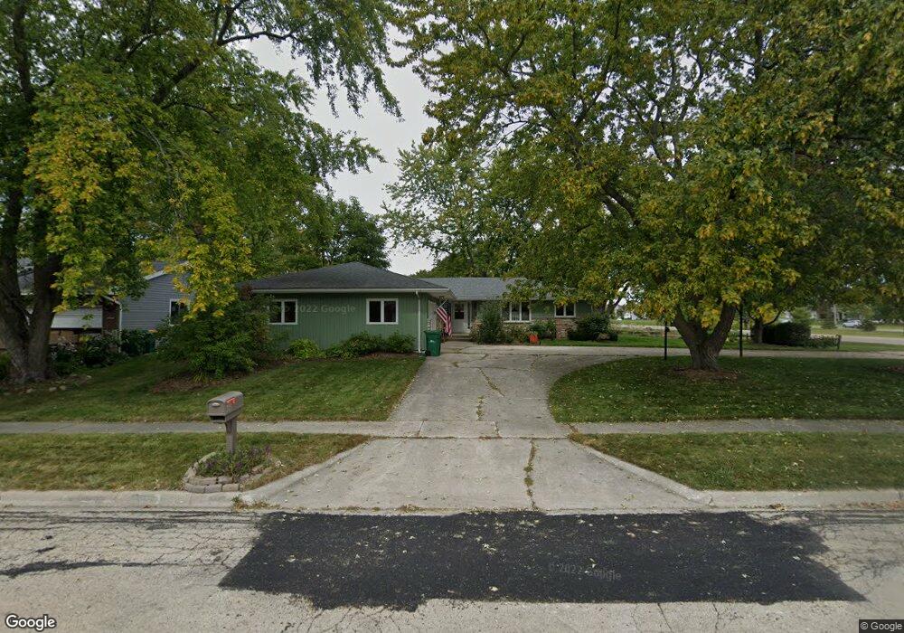
305 Perry Ct Sycamore, IL 60178
Estimated Value: $305,000 - $345,000
4
Beds
2
Baths
1,816
Sq Ft
$178/Sq Ft
Est. Value
About This Home
This home is located at 305 Perry Ct, Sycamore, IL 60178 and is currently estimated at $322,666, approximately $177 per square foot. 305 Perry Ct is a home located in DeKalb County with nearby schools including Sycamore High School, St Mary's Catholic School, and Cornerstone Christian Academy.
Ownership History
Date
Name
Owned For
Owner Type
Purchase Details
Closed on
Nov 14, 2005
Sold by
Erickson Dale R
Bought by
Nottingham Debra J
Current Estimated Value
Home Financials for this Owner
Home Financials are based on the most recent Mortgage that was taken out on this home.
Original Mortgage
$153,000
Outstanding Balance
$79,977
Interest Rate
5.98%
Mortgage Type
New Conventional
Estimated Equity
$242,689
Create a Home Valuation Report for This Property
The Home Valuation Report is an in-depth analysis detailing your home's value as well as a comparison with similar homes in the area
Home Values in the Area
Average Home Value in this Area
Purchase History
We collect this data history from publicly available records. To have your information removed, we recommend requesting removal directly through your county’s website.
| Date | Buyer | Sale Price | Title Company |
|---|---|---|---|
| Nottingham Debra J | $203,000 | -- |
Source: Public Records
Mortgage History
We collect this data history from publicly available records. To have your information removed, we recommend requesting removal directly through your county’s website.
| Date | Status | Borrower | Loan Amount |
|---|---|---|---|
| Open | Nottingham Debra J | $153,000 |
Source: Public Records
Tax History
| Year | Tax Paid | Tax Assessment Tax Assessment Total Assessment is a certain percentage of the fair market value that is determined by local assessors to be the total taxable value of land and additions on the property. | Land | Improvement |
|---|---|---|---|---|
| 2025 | $7,515 | $109,210 | $17,022 | $92,188 |
| 2024 | $8,042 | $102,670 | $16,003 | $86,667 |
| 2023 | $8,042 | $96,052 | $14,971 | $81,081 |
| 2022 | $6,795 | $78,656 | $14,288 | $64,368 |
| 2021 | $6,277 | $71,912 | $13,604 | $58,308 |
| 2020 | $6,143 | $69,669 | $13,180 | $56,489 |
| 2019 | $5,911 | $66,746 | $12,627 | $54,119 |
| 2018 | $5,491 | $61,425 | $11,706 | $49,719 |
| 2017 | $5,299 | $58,477 | $11,144 | $47,333 |
| 2016 | $5,079 | $54,960 | $10,474 | $44,486 |
| 2015 | -- | $46,993 | $9,836 | $37,157 |
| 2014 | -- | $45,229 | $9,467 | $35,762 |
| 2013 | -- | $46,869 | $9,810 | $37,059 |
Source: Public Records
Map
Nearby Homes
- 533 Bethany Rd
- 1452 Bethany Rd
- 206 Becker Place
- 215 Becker Place
- 216 Becker Place
- 2105 Waterbury Ln W
- Lot 13 Thornwood Dr
- Lot 31 Aster Rd
- 1150 Bailey Rd
- 1102 Nottingham Rd
- 609 Zagreb Ave
- 1032 Nottingham Rd
- 1238 Parkside Dr
- 1024 Nottingham Rd
- Lot 239 Zagreb Ave
- Lot 240 Zagreb Ave
- Lot 228 Zagreb Ave
- Lot 229 Zagreb Ave
- Lot 227 Zagreb Ave
- 1008 Nottingham Rd
Your Personal Tour Guide
Ask me questions while you tour the home.