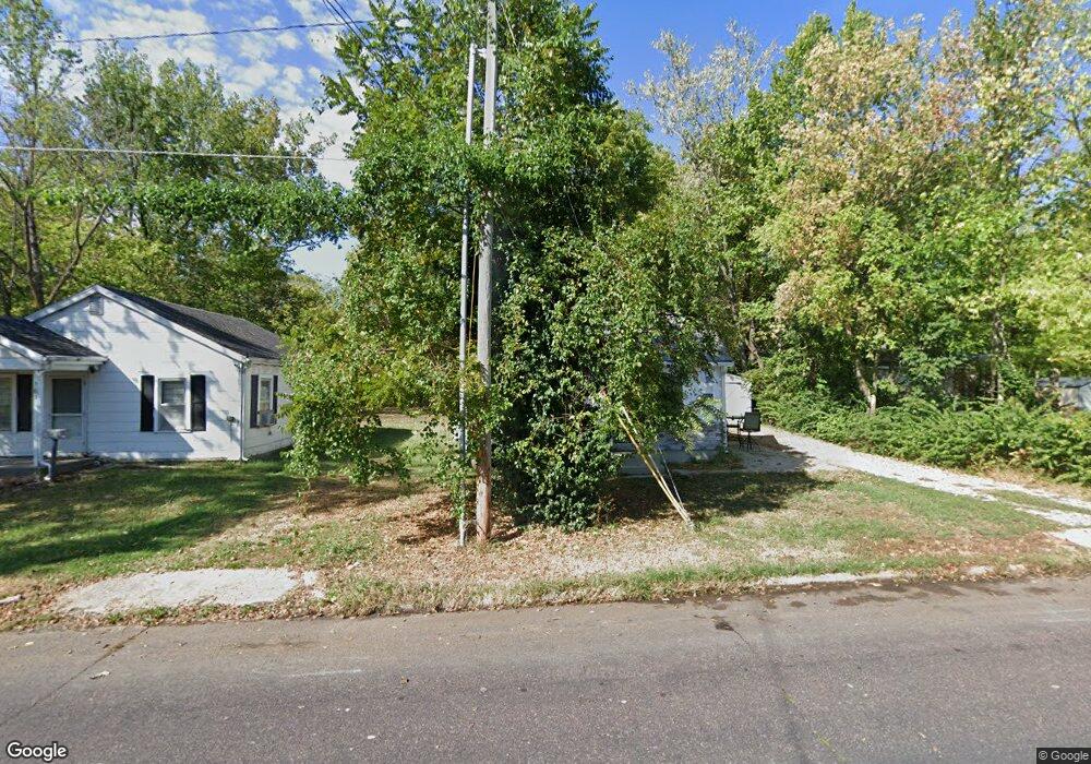
305 Pershing Rd Columbia, MO 65203
Estimated Value: $125,000 - $187,000
About This Home
This home is located at 305 Pershing Rd, Columbia, MO 65203 and is currently estimated at $152,980, approximately $289 per square foot. 305 Pershing Rd is a home located in Boone County with nearby schools including West Boulevard Elementary School, West Middle School, and David H. Hickman High School.
Ownership History
We collect this data history from publicly available records. To have your information removed, we recommend requesting removal directly through your county’s website.
Purchase Details
Home Financials for this Owner
Home Financials are based on the most recent Mortgage that was taken out on this home.Purchase History
We collect this data history from publicly available records. To have your information removed, we recommend requesting removal directly through your county’s website.
| Date | Buyer | Sale Price | Title Company |
|---|---|---|---|
| -- | None Listed On Document |
Mortgage History
We collect this data history from publicly available records. To have your information removed, we recommend requesting removal directly through your county’s website.
| Date | Status | Borrower | Loan Amount |
|---|---|---|---|
| Open | $71,500 |
Tax History
We collect this data history from publicly available records. To have your information removed, we recommend requesting removal directly through your county’s website.
| Year | Tax Paid | Tax Assessment Tax Assessment Total Assessment is a certain percentage of the fair market value that is determined by local assessors to be the total taxable value of land and additions on the property. | Land | Improvement |
|---|---|---|---|---|
| 2025 | $769 | $11,742 | $2,698 | $9,044 |
| 2024 | $692 | $10,260 | $2,698 | $7,562 |
| 2023 | $686 | $10,260 | $2,698 | $7,562 |
| 2022 | $381 | $5,700 | $2,698 | $3,002 |
| 2021 | $382 | $5,700 | $2,698 | $3,002 |
| 2020 | $363 | $5,088 | $2,698 | $2,390 |
| 2019 | $363 | $5,088 | $2,698 | $2,390 |
| 2018 | $338 | $0 | $0 | $0 |
| 2017 | $334 | $4,712 | $2,698 | $2,014 |
| 2016 | $343 | $4,712 | $2,698 | $2,014 |
| 2015 | $316 | $4,712 | $2,698 | $2,014 |
| 2014 | $318 | $4,712 | $2,698 | $2,014 |
Map
- 400 Auburn Ln
- 1404 W Worley St
- 504 Hunt Ave
- 308 West Blvd N
- 600 Clinkscales Rd
- 922 W Broadway
- 207 Maplewood Dr
- 707 Independence St
- 216 Ridgeway Ave
- 11 N Glenwood Ave
- 200 Rockingham Dr
- 5 Longfellow Ln
- 710 Hirth Ave
- 1108 W Stewart Rd
- 367 Crown Point
- 501 Westridge Dr
- 405 Alexander Ave
- 709 Russell Blvd
- 812 Valley Ct
- 1402 W Rollins Rd
- 1306 Lowe St
- 1308 Lowe St
- 1304 Lowe St
- 1310 Lowe St
- 309 Pershing Rd Unit 311
- 309-311 Pershing Rd
- 1309 Lowe St
- 1309 Pearl Ave
- 1309 Pearl Ave Unit 1
- 1303 Lowe St Unit 1305
- 1314 Lowe St
- 1307 Lowe St
- 1301 Lowe St
- 303 Pershing Rd
- 1311 Pearl Ave
- 1311 Lowe St
- 1408 Lowe St
- 1313 Pearl Ave
- 1400 Lowe St
- 301 Pershing Rd
Ask me questions while you tour the home.