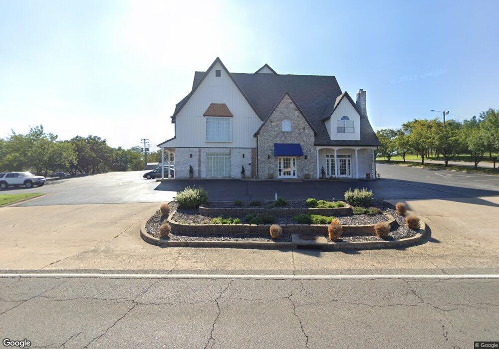
305 State Highway 165 Branson, MO 65616
Southwest Branson NeighborhoodEstimated Value: $724,000
About This Home
This home is located at 305 State Highway 165, Branson, MO 65616 and is currently priced at $724,000, approximately $51 per square foot. 305 State Highway 165 is a home with nearby schools including Cedar Ridge Primary, Cedar Ridge Intermediate School, and Cedar Ridge Elementary School.
Ownership History
We collect this data history from publicly available records. To have your information removed, we recommend requesting removal directly through your county’s website.
Purchase Details
Home Financials for this Owner
Home Financials are based on the most recent Mortgage that was taken out on this home.Purchase Details
Purchase Details
Home Financials for this Owner
Home Financials are based on the most recent Mortgage that was taken out on this home.Home Values in the Area
Average Home Value in this Area
Purchase History
We collect this data history from publicly available records. To have your information removed, we recommend requesting removal directly through your county’s website.
| Date | Buyer | Sale Price | Title Company |
|---|---|---|---|
| -- | None Listed On Document | ||
| -- | None Available | ||
| -- | -- |
Mortgage History
We collect this data history from publicly available records. To have your information removed, we recommend requesting removal directly through your county’s website.
| Date | Status | Borrower | Loan Amount |
|---|---|---|---|
| Open | $2,720,000 | ||
| Previous Owner | $2,845,847 |
Tax History
We collect this data history from publicly available records. To have your information removed, we recommend requesting removal directly through your county’s website.
| Year | Tax Paid | Tax Assessment Tax Assessment Total Assessment is a certain percentage of the fair market value that is determined by local assessors to be the total taxable value of land and additions on the property. | Land | Improvement |
|---|---|---|---|---|
| 2025 | $29,372 | $543,560 | ||
| 2023 | $29,372 | $534,740 | ||
| 2022 | $28,586 | $534,740 | $0 | $0 |
| 2021 | $28,405 | $534,740 | $0 | $0 |
| 2019 | $29,509 | $532,980 | $0 | $0 |
| 2018 | $29,527 | $532,980 | $0 | $0 |
| 2017 | $29,255 | $532,980 | $0 | $0 |
| 2016 | $22,562 | $411,760 | $0 | $0 |
| 2015 | $22,356 | $411,760 | $0 | $0 |
| 2014 | $26,093 | $503,160 | $0 | $0 |
Map
- 261 Pine St
- 237 Dakota Rd
- 301 Dakota Rd
- 220 Harmony Ln
- 105 Garden Cir Unit 109-4
- 000 Green Mountian Dr
- 119 Grand Mountain Ave
- 103 Garden Cir Unit 110-3
- 103 & 105 Garden Cir Unit 103-3 & 105-4
- 132 Rock Candy Ln
- 133 Rock Candy Ln
- 135 Rock Candy Ln
- 141 Rock Candy Ln
- 143 Rock Candy Ln
- 237 Oakridge Rd Unit 2
- 316 Summer Dr
- 239 Oakridge Rd Unit 237/239
- 239 Oakridge Rd Unit 1
- 228 Oakridge Rd
- 238 Oakridge Rd
- 299 Missouri 165
- 299 State Highway 165
- 704 Aaron Way
- Lot 27 Aaron Way
- 0 Aaron Way Unit 30321076
- Lot 27-29 Aaron Way
- Lots 28 Aaron Way
- Lots 29 Aaron Way
- Lots 27 Aaron Way
- Lots 28-29 Aaron Way
- 720 Aaron Way
- 717 Aaron Way
- 673 Aaron Way
- 734 Ford St
- 285 State Highway 165
- 611 Henderson St
- 305 Erie St
- 727 Aaron Way
- 668 Henderson St
- 639 Henderson St
Ask me questions while you tour the home.