Estimated Value: $247,000 - $296,000
5
Beds
4
Baths
2,421
Sq Ft
$113/Sq Ft
Est. Value
About This Home
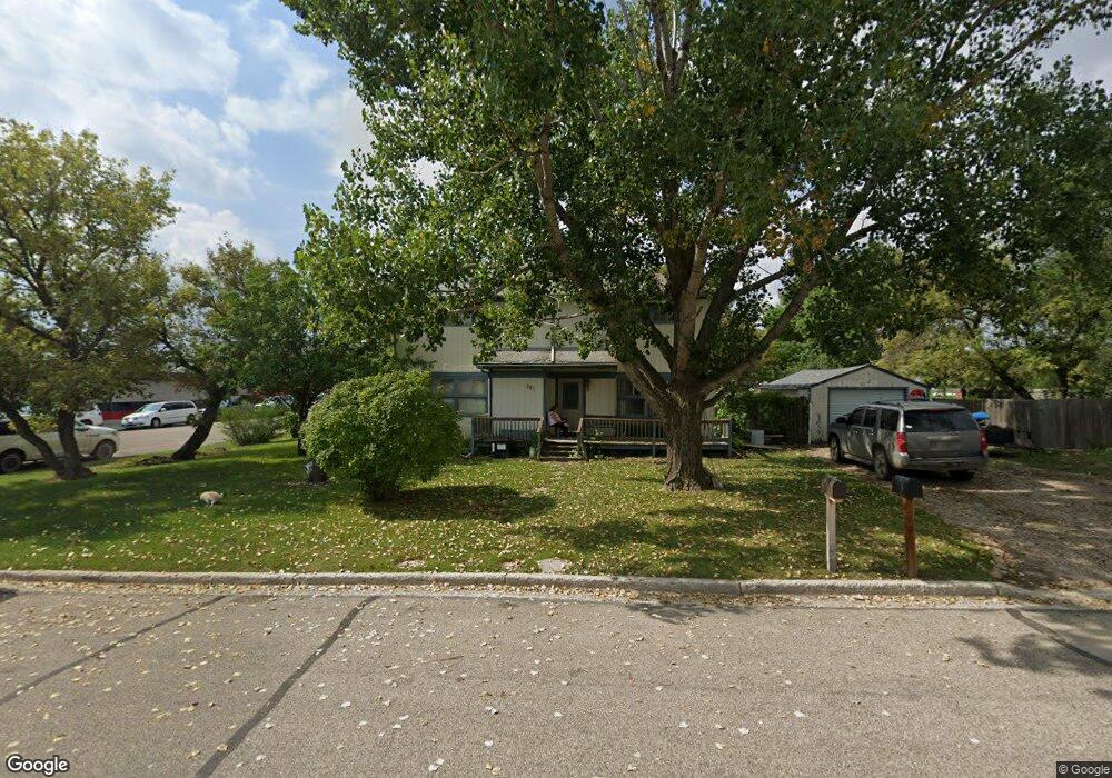
This home is located at 305 West St, Ray, ND 58849 and is currently estimated at $272,657, approximately $112 per square foot. 305 West St is a home located in Williams County with nearby schools including Ray Elementary School and Ray High School.
Ownership History
Date
Name
Owned For
Owner Type
Purchase Details
Closed on
Jan 24, 2013
Sold by
Peltier Brittnay K
Bought by
Peltier James E
Current Estimated Value
Home Financials for this Owner
Home Financials are based on the most recent Mortgage that was taken out on this home.
Original Mortgage
$193,300
Outstanding Balance
$132,041
Interest Rate
3.3%
Mortgage Type
FHA
Estimated Equity
$140,616
Purchase Details
Closed on
Nov 3, 2009
Sold by
Volk Claudia
Bought by
Peltier James E
Home Financials for this Owner
Home Financials are based on the most recent Mortgage that was taken out on this home.
Original Mortgage
$132,600
Interest Rate
4.96%
Mortgage Type
New Conventional
Create a Home Valuation Report for This Property
The Home Valuation Report is an in-depth analysis detailing your home's value as well as a comparison with similar homes in the area
Purchase History
| Date | Buyer | Sale Price | Title Company |
|---|---|---|---|
| Peltier James E | -- | None Available | |
| Peltier James E | $130,000 | None Available |
Source: Public Records
Mortgage History
| Date | Status | Borrower | Loan Amount |
|---|---|---|---|
| Open | Peltier James E | $193,300 | |
| Closed | Peltier James E | $132,600 |
Source: Public Records
Tax History
| Year | Tax Paid | Tax Assessment Tax Assessment Total Assessment is a certain percentage of the fair market value that is determined by local assessors to be the total taxable value of land and additions on the property. | Land | Improvement |
|---|---|---|---|---|
| 2025 | $2,220 | $110,950 | $15,300 | $95,650 |
| 2024 | $1,985 | $100,955 | $15,300 | $85,655 |
| 2023 | $2,064 | $104,070 | $0 | $0 |
| 2022 | $2,109 | $101,610 | $0 | $0 |
| 2021 | $1,985 | $103,720 | $15,300 | $88,420 |
| 2020 | $2,154 | $102,700 | $15,300 | $87,400 |
| 2019 | $2,160 | $92,050 | $15,300 | $76,750 |
| 2018 | $1,822 | $78,350 | $7,650 | $70,700 |
| 2017 | $1,716 | $78,550 | $7,650 | $70,900 |
| 2016 | $1,873 | $100,550 | $7,650 | $92,900 |
| 2012 | -- | $58,900 | $2,400 | $56,500 |
Source: Public Records
Map
Nearby Homes
- 24 6th Ave W
- 204 Main St
- 6498 105th Ave NW
- 12385 Rainbow Loop
- Lot 32 Blue Sky Cir S Unit 32
- 000 Lot 27 Blue Sky Cir Unit 27
- Tbd Sunset Ln
- Tbd Skyview Estates Dr
- 328 S Welo St
- 225 5th St NW
- 222 5th St NW
- 118 4th St NW
- 102 14th St Unit Block 52 Lot 1
- 140 14th St Unit Block 52 Lot 2
- 180 14th St Unit Block 52 lot 5
- Tbd 14th St NE
- 251 14th St Unit Block 35 Lot 1
- 240 14th St Unit Block 52 Lot 8
- 275 14th St Unit Block 35 Lot 2
- 301 14th St Unit Block 35 Lot 3
Your Personal Tour Guide
Ask me questions while you tour the home.