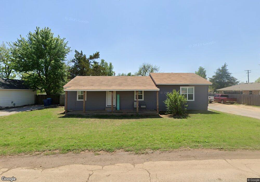
306 W Bond Tuttle, OK 73089
Estimated Value: $155,000 - $178,000
2
Beds
1
Bath
1,434
Sq Ft
$116/Sq Ft
Est. Value
About This Home
This home is located at 306 W Bond, Tuttle, OK 73089 and is currently estimated at $166,309, approximately $115 per square foot. 306 W Bond is a home with nearby schools including Tuttle Intermediate School, Tuttle Elementary School, and Tuttle Middle School.
Ownership History
Date
Name
Owned For
Owner Type
Purchase Details
Closed on
Mar 31, 2014
Sold by
Park Tommy John and Clowers Patty A
Bought by
Sutton Darrell and Townzen Regina
Current Estimated Value
Purchase Details
Closed on
Mar 8, 2014
Sold by
Park Tommy John
Bought by
Sutton Darrell and Zen Pregina Town
Purchase Details
Closed on
Sep 8, 2008
Sold by
Clowens Patty A
Bought by
Park Tommy John
Purchase Details
Closed on
Jan 13, 1999
Sold by
Welch Leona
Bought by
Park Tommy Jl
Create a Home Valuation Report for This Property
The Home Valuation Report is an in-depth analysis detailing your home's value as well as a comparison with similar homes in the area
Home Values in the Area
Average Home Value in this Area
Purchase History
| Date | Buyer | Sale Price | Title Company |
|---|---|---|---|
| Sutton Darrell | -- | None Available | |
| Sutton Darrell | -- | None Available | |
| Sutton Darrell | $15,000 | None Available | |
| Park Tommy John | $10,000 | None Available | |
| Park Tommy John | $10,000 | None Available | |
| Park Tommy Jl | $26,000 | -- |
Source: Public Records
Tax History
| Year | Tax Paid | Tax Assessment Tax Assessment Total Assessment is a certain percentage of the fair market value that is determined by local assessors to be the total taxable value of land and additions on the property. | Land | Improvement |
|---|---|---|---|---|
| 2025 | $966 | $10,165 | $3,619 | $6,546 |
| 2024 | $1,014 | $9,922 | $3,532 | $6,390 |
| 2023 | $1,014 | $9,633 | $2,986 | $6,647 |
| 2022 | $770 | $8,011 | $3,233 | $4,778 |
| 2021 | $747 | $7,778 | $3,097 | $4,681 |
| 2020 | $730 | $7,551 | $2,978 | $4,573 |
| 2019 | $693 | $7,331 | $2,891 | $4,440 |
| 2018 | $633 | $7,118 | $1,892 | $5,226 |
| 2017 | $351 | $3,311 | $1,332 | $1,979 |
| 2016 | $341 | $3,153 | $1,268 | $1,885 |
| 2015 | $293 | $3,003 | $1,208 | $1,795 |
| 2014 | $293 | $2,860 | $462 | $2,398 |
Source: Public Records
Map
Nearby Homes
- 502 SW 5th St
- 10 Westend Ct
- 309 Elm St
- 605 SW 4th St
- 102 SE 1st St
- 302 NW 1st St
- 104 SE 2nd St
- 106 Englebretson Ln
- 516 Kings Ct
- 803 N Richland Rd
- 1301 E Rock Creek Rd
- 1260 E Rock Creek Rd
- 1321 Chisholm Trail
- 903 County Street 2910
- 601 S Frisco Rd
- 0 Frisco Rd
- 1330 E Silver City Ridge
- 1636 Big Sky Dr
- 929 County Street 2932
- 1628 Big Sky Dr
Your Personal Tour Guide
Ask me questions while you tour the home.