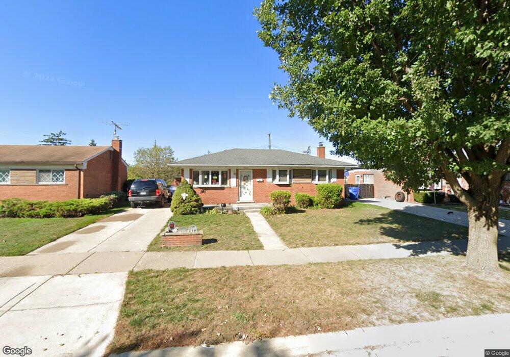
30641 Roan Dr Warren, MI 48093
Northeast Warren NeighborhoodEstimated Value: $219,796 - $252,000
About This Home
This home is located at 30641 Roan Dr, Warren, MI 48093 and is currently estimated at $237,449, approximately $197 per square foot. 30641 Roan Dr is a home located in Macomb County with nearby schools including Wilkerson Elementary School, Carter Middle School, and Paul K. Cousino High School.
Ownership History
We collect this data history from publicly available records. To have your information removed, we recommend requesting removal directly through your county’s website.
Purchase Details
Purchase Details
Home Financials for this Owner
Home Financials are based on the most recent Mortgage that was taken out on this home.Purchase Details
Home Values in the Area
Average Home Value in this Area
Purchase History
We collect this data history from publicly available records. To have your information removed, we recommend requesting removal directly through your county’s website.
| Date | Buyer | Sale Price | Title Company |
|---|---|---|---|
| $42,500 | Greater Macomb Title Agency | ||
| $137,900 | -- | ||
| $125,000 | -- |
Mortgage History
We collect this data history from publicly available records. To have your information removed, we recommend requesting removal directly through your county’s website.
| Date | Status | Borrower | Loan Amount |
|---|---|---|---|
| Previous Owner | $131,000 |
Tax History
We collect this data history from publicly available records. To have your information removed, we recommend requesting removal directly through your county’s website.
| Year | Tax Paid | Tax Assessment Tax Assessment Total Assessment is a certain percentage of the fair market value that is determined by local assessors to be the total taxable value of land and additions on the property. | Land | Improvement |
|---|---|---|---|---|
| 2025 | $3,547 | $99,030 | $0 | $0 |
| 2024 | $34 | $98,700 | $0 | $0 |
| 2023 | $3,252 | $98,100 | $0 | $0 |
| 2022 | $3,169 | $85,810 | $0 | $0 |
| 2021 | $3,090 | $69,290 | $0 | $0 |
| 2020 | $2,985 | $64,430 | $0 | $0 |
| 2019 | $2,868 | $61,470 | $0 | $0 |
| 2018 | $2,879 | $50,130 | $0 | $0 |
| 2017 | $2,813 | $44,960 | $9,660 | $35,300 |
| 2016 | $2,797 | $44,960 | $0 | $0 |
| 2015 | -- | $43,800 | $0 | $0 |
| 2012 | -- | $41,710 | $0 | $0 |
Map
- 31036 Palomino Ave
- 30151 Barbary Ct
- 31036 Palomino Dr
- 11828 Robinwood Blvd
- 30955 Iroquois Dr
- 12922 E 13 Mile Rd
- 12531 Common Rd
- 12014 Common Rd
- 31230 Iroquois Dr
- 30612 Dover Ave
- 31083 Hoover Rd Unit B12
- 13051 Iowa Dr
- 30831 Ridgefield Ave
- 30806 Ridgefield Ave
- 29619 Pinto Dr
- 13209 E 13 Mile Rd
- 29812 Newport Dr
- 13216 Cromie Dr
- 30507 Moulin Ave
- 30645 Lebanon Dr
Ask me questions while you tour the home.