3069 Arborwood Blvd Unit 37 Spring Arbor, MI 49283
Estimated Value: $253,285 - $274,000
Studio
2
Baths
1,305
Sq Ft
$203/Sq Ft
Est. Value
About This Home
This home is located at 3069 Arborwood Blvd Unit 37, Spring Arbor, MI 49283 and is currently estimated at $264,571, approximately $202 per square foot. 3069 Arborwood Blvd Unit 37 is a home located in Jackson County with nearby schools including Western High School and Trinity Lutheran School.
Ownership History
Date
Name
Owned For
Owner Type
Purchase Details
Closed on
May 7, 2001
Sold by
Beta Development Corp
Bought by
Upton Margie L
Current Estimated Value
Home Financials for this Owner
Home Financials are based on the most recent Mortgage that was taken out on this home.
Original Mortgage
$100,000
Outstanding Balance
$37,589
Interest Rate
7.12%
Estimated Equity
$226,982
Create a Home Valuation Report for This Property
The Home Valuation Report is an in-depth analysis detailing your home's value as well as a comparison with similar homes in the area
Home Values in the Area
Average Home Value in this Area
Purchase History
| Date | Buyer | Sale Price | Title Company |
|---|---|---|---|
| Upton Margie L | $21,250 | -- |
Source: Public Records
Mortgage History
| Date | Status | Borrower | Loan Amount |
|---|---|---|---|
| Open | Upton Margie L | $100,000 |
Source: Public Records
Tax History
| Year | Tax Paid | Tax Assessment Tax Assessment Total Assessment is a certain percentage of the fair market value that is determined by local assessors to be the total taxable value of land and additions on the property. | Land | Improvement |
|---|---|---|---|---|
| 2025 | $4,163 | $114,100 | $0 | $0 |
| 2024 | $25 | $109,100 | $0 | $0 |
| 2023 | $1,914 | $100,800 | $0 | $0 |
| 2022 | $2,926 | $91,800 | $0 | $0 |
| 2021 | $2,873 | $83,200 | $0 | $0 |
| 2020 | $2,839 | $81,790 | $0 | $0 |
| 2019 | $2,699 | $76,480 | $0 | $0 |
| 2018 | $2,689 | $73,860 | $7,500 | $66,360 |
| 2017 | $2,547 | $72,190 | $0 | $0 |
| 2016 | $1,626 | $73,600 | $73,600 | $0 |
| 2015 | $66,802 | $69,670 | $69,670 | $0 |
| 2014 | $66,802 | $67,120 | $0 | $0 |
| 2013 | -- | $67,120 | $67,120 | $0 |
Source: Public Records
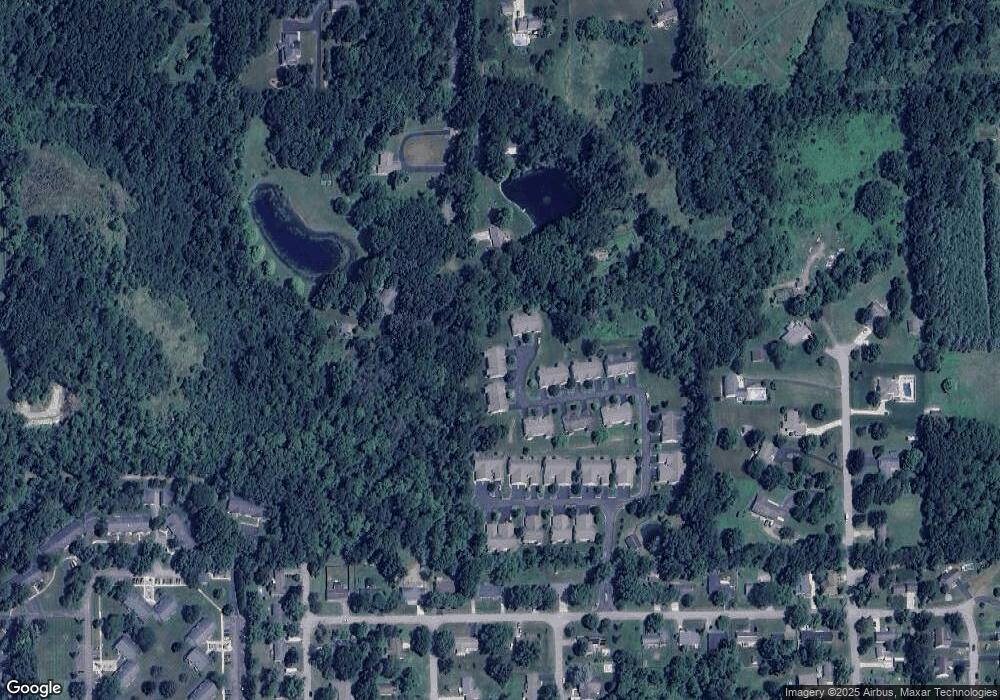
Map
Nearby Homes
- 7052 Gilroy Ct
- 7315 King Rd
- 181 Remington Dr
- V/L S Dearing Rd Unit 40 Acres Vacant Land
- 7117 King Rd
- 123 Teft Rd
- 3764 Chapel Rd
- 2089 Elwood Blvd Unit 27
- 8257 Lockerbie Dr
- 68 Dickens St
- 2503 Milford Rd
- 7969 Brandon Dr
- 3130 Daggitt Dr
- 3824 Moscow Rd
- 6405 King Rd
- VL Chapel Rd
- 1400 Chapel Rd Unit B
- 1400 Chapel Rd Unit A
- 5005 Cross Rd
- 1570 Chapel Rd
- 3067 Arborwood Blvd Unit 36
- 3072 Arborwood Blvd Unit 38
- 3065 Arborwood Blvd Unit 35
- 3070 Arborwood Blvd Unit 39
- 3063 Arborwood Blvd Unit 34
- 3060 Arborwood Blvd Unit 40
- 3058 Arborwood Blvd Unit 41
- 3061 Arborwood Blvd Unit 33
- 3056 Arborwood Blvd Unit 42
- 3054 Arborwood Blvd Unit 43
- 3057 Arborwood Blvd Unit 31
- 3401 Concerto Ct
- 3055 Arborwood Blvd Unit 30
- 3052 Arborwood Blvd Unit 44
- 7047 Gilroy Ct
- 7051 Gilroy Ct
- 7051 Gilroy Ct Unit 10
- 7043 Gilroy Ct Unit 12
- 3410 Concerto Ct
- 3053 Arborwood Blvd Unit 29
Your Personal Tour Guide
Ask me questions while you tour the home.