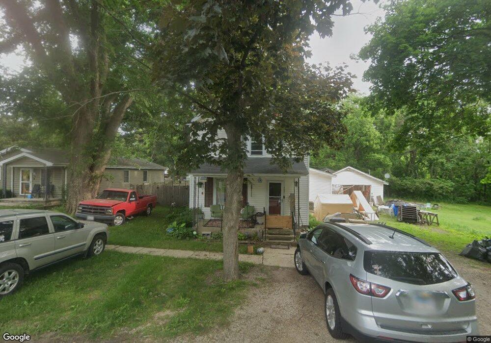
307 E Front St Newark, IL 60541
Estimated Value: $199,000 - $267,000
4
Beds
--
Bath
1,480
Sq Ft
$151/Sq Ft
Est. Value
About This Home
This home is located at 307 E Front St, Newark, IL 60541 and is currently estimated at $223,903, approximately $151 per square foot. 307 E Front St is a home located in Kendall County with nearby schools including Newark Elementary School, Millbrook Junior High School, and Newark Community High School.
Ownership History
Date
Name
Owned For
Owner Type
Purchase Details
Closed on
Mar 22, 2016
Sold by
Pincuspy Kay C
Bought by
Pincuspy Thomas R
Current Estimated Value
Purchase Details
Closed on
Aug 15, 2002
Sold by
Neat Anna L
Bought by
Pincuspy Thomas R and Pincuspy Kay C
Home Financials for this Owner
Home Financials are based on the most recent Mortgage that was taken out on this home.
Original Mortgage
$117,161
Outstanding Balance
$49,860
Interest Rate
6.63%
Mortgage Type
FHA
Estimated Equity
$174,043
Purchase Details
Closed on
Aug 1, 1994
Bought by
Neat Anna L
Create a Home Valuation Report for This Property
The Home Valuation Report is an in-depth analysis detailing your home's value as well as a comparison with similar homes in the area
Home Values in the Area
Average Home Value in this Area
Purchase History
| Date | Buyer | Sale Price | Title Company |
|---|---|---|---|
| Pincuspy Thomas R | -- | None Available | |
| Pincuspy Thomas R | $119,000 | -- | |
| Neat Anna L | $103,000 | -- |
Source: Public Records
Mortgage History
| Date | Status | Borrower | Loan Amount |
|---|---|---|---|
| Open | Pincuspy Thomas R | $117,161 | |
| Closed | Neat Anna L | -- |
Source: Public Records
Tax History
| Year | Tax Paid | Tax Assessment Tax Assessment Total Assessment is a certain percentage of the fair market value that is determined by local assessors to be the total taxable value of land and additions on the property. | Land | Improvement |
|---|---|---|---|---|
| 2024 | $3,437 | $51,617 | $18,435 | $33,182 |
| 2023 | $2,789 | $46,351 | $16,554 | $29,797 |
| 2022 | $2,789 | $41,907 | $16,542 | $25,365 |
| 2021 | $2,692 | $39,368 | $15,540 | $23,828 |
| 2020 | $2,619 | $38,684 | $15,270 | $23,414 |
| 2019 | $2,672 | $38,684 | $15,270 | $23,414 |
| 2018 | $2,639 | $38,069 | $15,371 | $22,698 |
| 2017 | $2,631 | $37,566 | $15,168 | $22,398 |
| 2016 | $2,645 | $37,566 | $15,168 | $22,398 |
| 2015 | $2,410 | $37,150 | $15,000 | $22,150 |
| 2014 | -- | $36,289 | $17,049 | $19,240 |
| 2013 | -- | $36,289 | $17,049 | $19,240 |
Source: Public Records
Map
Nearby Homes
- 2 N Van Buren St
- 502 E Benton St
- 11071 Crimmin Rd
- 10978 Crimmin Rd
- 115 Belle Rive Dr
- 2833 N 4201st Rd
- 000 W County Line Rd
- 4322 E 2859th Rd
- 003 N 4201st Rd
- 001 N 4201st Rd
- 004 N 4201st Rd
- 16011 Indian Rd
- 2853 N 4360th Rd
- 2989 N 4459th Rd
- 4452 E 2969th Rd
- 4456 E 2969th Rd
- 4455 E 2969th Rd
- 4462 E 2979th Rd
- 4460 N 4459th Rd
- 15725 Stonewall Dr
Your Personal Tour Guide
Ask me questions while you tour the home.