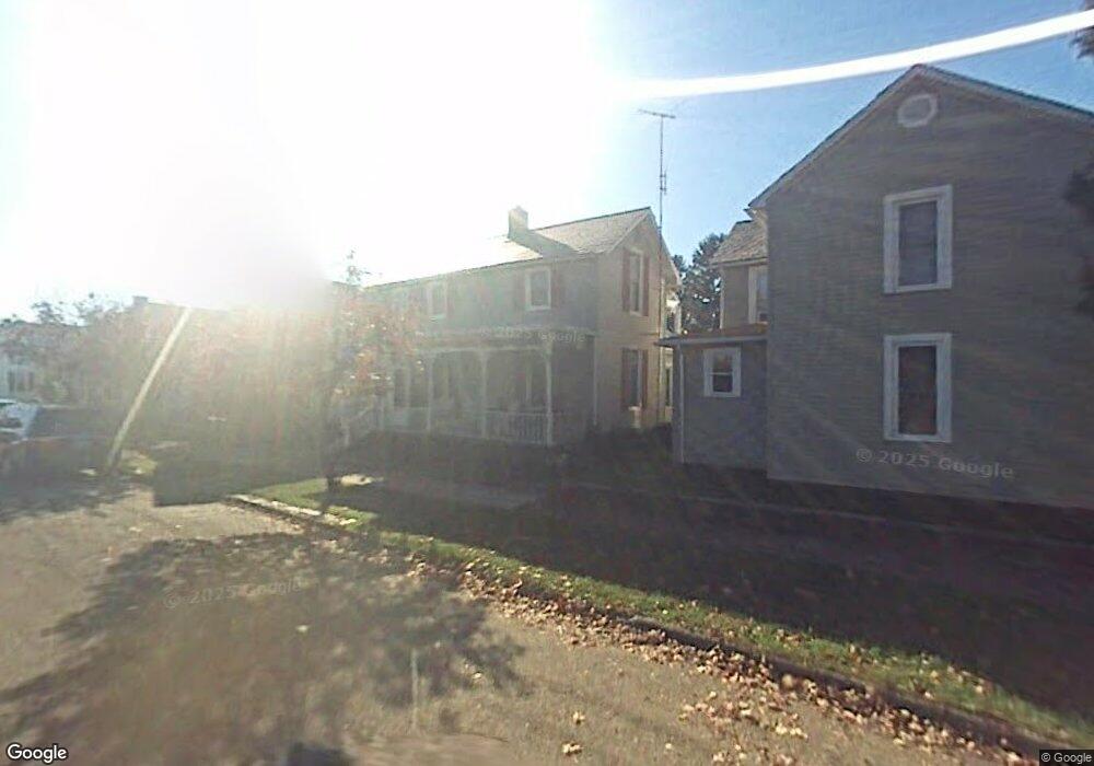
307 Wheat St Lancaster, OH 43130
Estimated Value: $138,000 - $194,000
3
Beds
1
Bath
1,204
Sq Ft
$136/Sq Ft
Est. Value
About This Home
This home is located at 307 Wheat St, Lancaster, OH 43130 and is currently estimated at $163,996, approximately $136 per square foot. 307 Wheat St is a home located in Fairfield County with nearby schools including Thomas Ewing Junior High School, Lancaster High School, and St Mary Elementary School.
Ownership History
Date
Name
Owned For
Owner Type
Purchase Details
Closed on
Sep 6, 2016
Sold by
Castle 2016 Llc
Bought by
Holschuh Beian S and Holschuh Erin L
Current Estimated Value
Purchase Details
Closed on
May 24, 2016
Sold by
U S Bank Na
Bought by
Castle 2016 Llc
Create a Home Valuation Report for This Property
The Home Valuation Report is an in-depth analysis detailing your home's value as well as a comparison with similar homes in the area
Home Values in the Area
Average Home Value in this Area
Purchase History
We collect this data history from publicly available records. To have your information removed, we recommend requesting removal directly through your county’s website.
| Date | Buyer | Sale Price | Title Company |
|---|---|---|---|
| Holschuh Beian S | $41,000 | Northwest Title Family Of Co | |
| Castle 2016 Llc | $43,320 | None Available |
Source: Public Records
Tax History
| Year | Tax Paid | Tax Assessment Tax Assessment Total Assessment is a certain percentage of the fair market value that is determined by local assessors to be the total taxable value of land and additions on the property. | Land | Improvement |
|---|---|---|---|---|
| 2025 | $3,103 | $49,440 | $10,100 | $39,340 |
| 2024 | $3,103 | $34,520 | $6,220 | $28,300 |
| 2023 | $1,283 | $34,520 | $6,220 | $28,300 |
| 2022 | $1,290 | $34,520 | $6,220 | $28,300 |
| 2021 | $1,155 | $28,960 | $6,220 | $22,740 |
| 2020 | $1,108 | $28,960 | $6,220 | $22,740 |
| 2019 | $1,055 | $28,960 | $6,220 | $22,740 |
| 2018 | $859 | $22,680 | $6,220 | $16,460 |
| 2017 | $838 | $22,410 | $6,220 | $16,190 |
| 2016 | $838 | $22,410 | $6,220 | $16,190 |
| 2015 | $814 | $21,690 | $6,220 | $15,470 |
| 2014 | $775 | $21,690 | $6,220 | $15,470 |
| 2013 | $775 | $21,690 | $6,220 | $15,470 |
Source: Public Records
Map
Nearby Homes
- 114 S Maple St
- 628 E Chestnut St
- 325 E Chestnut St
- 537 E Wheeling St
- 124 Wyandotte St
- 430 W Mulberry St
- 745 Cherokee Dr
- 338 E Mulberry St
- 246 N Pearl Ave
- 539 King St
- 154 E Main St
- 338 King St
- 840 E Main St
- 610 E 5th Ave
- 769 E Mulberry St
- 844 E Wheeling St
- 615 E 5th Ave
- 430 N High St
- 859 E Mulberry St
- 869 E Mulberry St
- 533 E Walnut St
- 529 E Walnut St
- 539 E Walnut St
- 523 E Walnut St
- 543 E Walnut St
- 224 Salyers Ct
- 547 E Walnut St
- 521 E Walnut St
- 220 Salyers Ct
- 300 Wheat St
- 530 E Walnut St
- 551 E Walnut St
- 519 E Walnut St
- 569 South St Unit L0CUST
- 550 E Walnut St
- 555 E Walnut St
- 520 E Walnut St
- 511 E Walnut St
- 306 Wheat St
- 559 E Walnut St
Your Personal Tour Guide
Ask me questions while you tour the home.