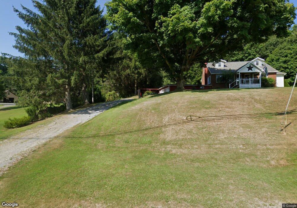
3072 Old Highway 322 Cochranton, PA 16314
Estimated Value: $186,683 - $310,000
3
Beds
1
Bath
1,568
Sq Ft
$155/Sq Ft
Est. Value
About This Home
This home is located at 3072 Old Highway 322, Cochranton, PA 16314 and is currently estimated at $243,421, approximately $155 per square foot. 3072 Old Highway 322 is a home located in Crawford County with nearby schools including Cochranton Elementary School and Cochranton Junior/Senior High School.
Ownership History
Date
Name
Owned For
Owner Type
Purchase Details
Closed on
Mar 13, 2009
Sold by
Johnston Kathryn J and Johnston Dee
Bought by
Tate Adam M and Tate Amanda L
Current Estimated Value
Home Financials for this Owner
Home Financials are based on the most recent Mortgage that was taken out on this home.
Original Mortgage
$123,117
Outstanding Balance
$76,457
Interest Rate
5.18%
Mortgage Type
FHA
Estimated Equity
$166,964
Create a Home Valuation Report for This Property
The Home Valuation Report is an in-depth analysis detailing your home's value as well as a comparison with similar homes in the area
Purchase History
| Date | Buyer | Sale Price | Title Company |
|---|---|---|---|
| Tate Adam M | $126,000 | None Available |
Source: Public Records
Mortgage History
| Date | Status | Borrower | Loan Amount |
|---|---|---|---|
| Open | Tate Adam M | $123,117 |
Source: Public Records
Tax History
| Year | Tax Paid | Tax Assessment Tax Assessment Total Assessment is a certain percentage of the fair market value that is determined by local assessors to be the total taxable value of land and additions on the property. | Land | Improvement |
|---|---|---|---|---|
| 2026 | $1,602 | $39,407 | $2,700 | $36,707 |
| 2025 | $1,137 | $39,407 | $2,700 | $36,707 |
| 2024 | $1,649 | $39,407 | $2,700 | $36,707 |
| 2023 | $1,649 | $39,407 | $2,700 | $36,707 |
| 2022 | $2,533 | $30,400 | $2,700 | $27,700 |
| 2021 | $2,476 | $30,400 | $2,700 | $27,700 |
| 2020 | $2,476 | $30,400 | $2,700 | $27,700 |
| 2019 | $2,476 | $30,400 | $2,700 | $27,700 |
| 2018 | $2,362 | $30,400 | $2,700 | $27,700 |
| 2017 | $2,338 | $30,400 | $2,700 | $27,700 |
| 2016 | $786 | $30,400 | $2,700 | $27,700 |
| 2015 | $786 | $30,400 | $2,700 | $27,700 |
| 2014 | -- | $30,400 | $2,700 | $27,700 |
Source: Public Records
Map
Nearby Homes
- 23755 State Highway 285
- 1313 New Lebanon Rd
- 1419 Carlton Rd
- 693 Beatty Run Rd
- 7167 Pettis Rd
- 0 Deckards Run Rd and Judson Rd Unit 11536704
- 2994 County Line Rd
- 6528 Mccracken Rd
- 21412 Shick Dr
- 6204-017-2 Shick Dr
- 798 Deer Creek Rd
- 410 Chestnut Grove Rd
- 199 Anglers Rest Ln
- 3857 Academy St
- 175 Phelps Rd
- 4913 Rock Creek Rd
- 222 Sunny Meadows Ln
- 5154 Ashley Dr
- 315 Sunol Rd
- 7691 Mercer Pike
- 2988 Old Highway 322
- 322 Between Rt 347 & Boro Line
- 2903 Old Highway 322
- 2899 Old Highway 322
- 25342 Maple Ln Unit 525
- 25489 Rynd Dr
- 25503 Rynd Dr
- 25498 Rynd Dr
- 25368 Maple Ln
- 25532 Rynd Dr
- 25545 Rynd Dr
- 32251 Us Highway 322
- 32221 Highway 322
- 32283 Highway 322
- 25432 Maple Ln
- 32321 Highway 322
- 25591 Rynd Dr
- 252 S Franklin St
- 250 S Franklin St
- 245 S Franklin St
Your Personal Tour Guide
Ask me questions while you tour the home.