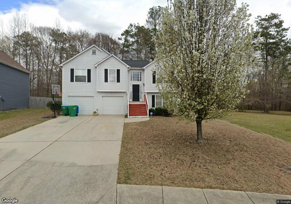
3075 Brookfield Dr Unit 1 Austell, GA 30106
Estimated Value: $291,763 - $310,000
4
Beds
3
Baths
1,430
Sq Ft
$211/Sq Ft
Est. Value
About This Home
This home is located at 3075 Brookfield Dr Unit 1, Austell, GA 30106 and is currently estimated at $301,941, approximately $211 per square foot. 3075 Brookfield Dr Unit 1 is a home located in Cobb County with nearby schools including Hendricks Elementary School, Garrett Middle School, and South Cobb High School.
Ownership History
Date
Name
Owned For
Owner Type
Purchase Details
Closed on
Nov 9, 2001
Sold by
Four Star Building Group Inc
Bought by
Mosley Larry and Mosley Denise
Current Estimated Value
Home Financials for this Owner
Home Financials are based on the most recent Mortgage that was taken out on this home.
Original Mortgage
$139,806
Outstanding Balance
$53,444
Interest Rate
6.57%
Mortgage Type
FHA
Estimated Equity
$248,497
Create a Home Valuation Report for This Property
The Home Valuation Report is an in-depth analysis detailing your home's value as well as a comparison with similar homes in the area
Home Values in the Area
Average Home Value in this Area
Purchase History
| Date | Buyer | Sale Price | Title Company |
|---|---|---|---|
| Mosley Larry | $142,000 | -- |
Source: Public Records
Mortgage History
| Date | Status | Borrower | Loan Amount |
|---|---|---|---|
| Open | Mosley Larry | $139,806 |
Source: Public Records
Tax History
| Year | Tax Paid | Tax Assessment Tax Assessment Total Assessment is a certain percentage of the fair market value that is determined by local assessors to be the total taxable value of land and additions on the property. | Land | Improvement |
|---|---|---|---|---|
| 2025 | $402 | $111,644 | $16,000 | $95,644 |
| 2024 | $402 | $111,644 | $16,000 | $95,644 |
| 2023 | $250 | $111,644 | $16,000 | $95,644 |
Source: Public Records
Map
Nearby Homes
- 6031 Falcon Ct
- 6031 Falcon Ct Unit 8
- 2171 Westside Dr
- 5954 Tate Dr
- 3667 Humphries Hill Rd
- 3536 Perry Point
- 5420 Hiram Lithia Springs Rd
- 6309 Wellington Way
- 6240 Humphries Hill Rd
- 3941 Forest Dr
- 6277 N Sweetwater Rd
- 6503 Jackie Ln
- 6405 Kensington Ct
- 5398 Springbrook Dr
- 5712 Sullivan Point Dr
- 4411 Westerling Ct
- 0 C H James Pkwy
- 2070 Bonny Glen Cir
- 5418 Jamestowne Dr
- 4022 Creel Dr
- 3085 Brookfield Dr Unit 1
- 3065 Brookfield Dr
- 3055 Brookfield Dr
- 3080 Brookfield Dr
- 3095 Brookfield Dr Unit I
- 3070 Brookfield Dr Unit 1
- 3045 Brookfield Dr Unit 1
- 3105 Brookfield Dr
- 3105 Brookfield Dr
- 3105 Brookfield Dr SW
- 3060 Brookfield Dr
- 4020 Brookfield Way
- 4010 Brookfield Way
- 3090 Brookfield Dr Unit I
- 5020 Deer Brook Trail
- 3115 Brookfield Dr Unit 1
- 5030 Deer Brook Trail
- 3050 Brookfield Dr
- 3125 Brookfield Dr
- 4030 Brookfield Way Unit 1
Your Personal Tour Guide
Ask me questions while you tour the home.