308 W Owsley St Chenoa, IL 61726
Estimated Value: $100,000 - $126,000
About This Home
This home is located at 308 W Owsley St, Chenoa, IL 61726 and is currently estimated at $116,829, approximately $127 per square foot. 308 W Owsley St is a home located in McLean County with nearby schools including Prairie Central High School.
Ownership History
We collect this data history from publicly available records. To have your information removed, we recommend requesting removal directly through your county’s website.
Purchase Details
Home Financials for this Owner
Home Financials are based on the most recent Mortgage that was taken out on this home.Purchase History
We collect this data history from publicly available records. To have your information removed, we recommend requesting removal directly through your county’s website.
| Date | Buyer | Sale Price | Title Company |
|---|---|---|---|
| $67,500 | None Available |
Mortgage History
We collect this data history from publicly available records. To have your information removed, we recommend requesting removal directly through your county’s website.
| Date | Status | Borrower | Loan Amount |
|---|---|---|---|
| Open | $50,000 | ||
| Closed | $2,767 | ||
| Closed | $82,018 | ||
| Closed | $67,500 |
Tax History
We collect this data history from publicly available records. To have your information removed, we recommend requesting removal directly through your county’s website.
| Year | Tax Paid | Tax Assessment Tax Assessment Total Assessment is a certain percentage of the fair market value that is determined by local assessors to be the total taxable value of land and additions on the property. | Land | Improvement |
|---|---|---|---|---|
| 2025 | $2,234 | $32,931 | $3,483 | $29,448 |
| 2024 | $1,517 | $29,699 | $3,141 | $26,558 |
| 2022 | $1,517 | $21,728 | $2,703 | $19,025 |
| 2021 | $1,446 | $21,231 | $2,641 | $18,590 |
| 2020 | $1,344 | $19,741 | $2,456 | $17,285 |
| 2019 | $1,380 | $19,741 | $2,456 | $17,285 |
| 2018 | $1,459 | $19,548 | $2,432 | $17,116 |
| 2017 | $1,306 | $19,548 | $2,432 | $17,116 |
| 2016 | $1,237 | $19,548 | $2,432 | $17,116 |
| 2015 | $1,226 | $20,057 | $2,495 | $17,562 |
| 2014 | $1,220 | $20,057 | $2,495 | $17,562 |
| 2013 | -- | $20,276 | $2,522 | $17,754 |
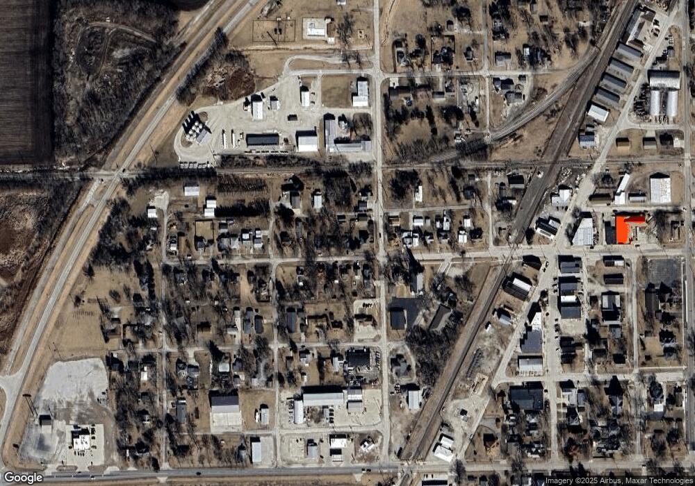
Map
- Lot 7 Block 11 S Morehead St
- 403 W Owsley St
- 214 W Owsley St
- 215 Lincoln St
- 425 Mason St
- 620 Mason St
- 311 S 2nd Ave
- 501 Michael Ln
- 314 N 2nd Ave
- 105 Champion Dr
- 106 Champion Dr
- 27231 E 3000 North Rd
- 311 N Gerrard St
- 10788 N 1000 East Rd
- 9898 E 1200 North Rd
- 10168 N 600 East Rd
- 31263 2nd St
- 26151 E 2500 North Rd
- 305 N Vermillion St
- 902 W South St
- 307 W Owsley St
- 305 W Owsley St
- 301 W Owsley St
- 301 W Owsley St
- 317 W Owsley St
- 316 Crittenden St
- 321 W Owsley St
- 310 W Owsley St
- 302 W Owsley St
- 318 W Owsley St
- 401 S Gerrard St
- 401 S Gerrard St Unit B
- 228 W Owsley St
- 203 Mill St
- 322 W Owsley St
- 322 W Owsley St
- 322 W Owsley St
- 322 W Owsley St
- 302 S Morehead St
- 226 W Owsley St
Ask me questions while you tour the home.