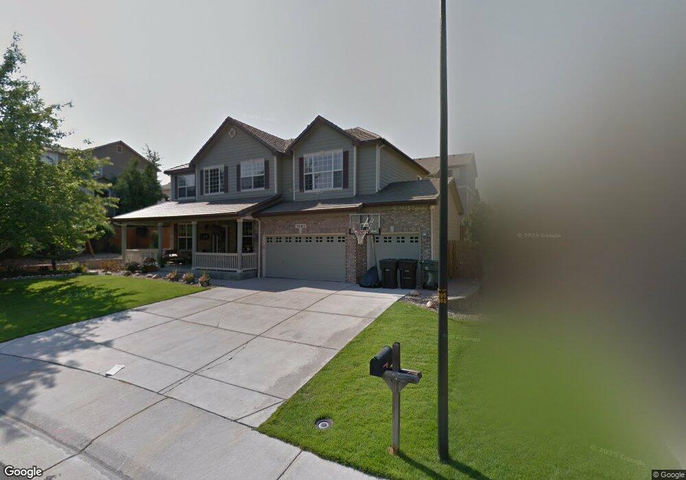
3082 E 137th Place Thornton, CO 80602
Cherrywood Park NeighborhoodEstimated Value: $666,000 - $704,000
About This Home
This home is located at 3082 E 137th Place, Thornton, CO 80602 and is currently estimated at $685,467, approximately $244 per square foot. 3082 E 137th Place is a home located in Adams County with nearby schools including Prairie Hills Elementary School, Rocky Top Middle School, and Horizon High School.
Ownership History
We collect this data history from publicly available records. To have your information removed, we recommend requesting removal directly through your county’s website.
Purchase Details
Home Financials for this Owner
Home Financials are based on the most recent Mortgage that was taken out on this home.Home Values in the Area
Average Home Value in this Area
Purchase History
We collect this data history from publicly available records. To have your information removed, we recommend requesting removal directly through your county’s website.
| Date | Buyer | Sale Price | Title Company |
|---|---|---|---|
| $333,493 | -- |
Mortgage History
We collect this data history from publicly available records. To have your information removed, we recommend requesting removal directly through your county’s website.
| Date | Status | Borrower | Loan Amount |
|---|---|---|---|
| Open | $266,750 |
Tax History
We collect this data history from publicly available records. To have your information removed, we recommend requesting removal directly through your county’s website.
| Year | Tax Paid | Tax Assessment Tax Assessment Total Assessment is a certain percentage of the fair market value that is determined by local assessors to be the total taxable value of land and additions on the property. | Land | Improvement |
|---|---|---|---|---|
| 2025 | $4,727 | $46,170 | $8,840 | $37,330 |
| 2024 | $4,727 | $42,440 | $8,130 | $34,310 |
| 2023 | $4,678 | $49,380 | $7,980 | $41,400 |
| 2022 | $3,726 | $33,820 | $8,200 | $25,620 |
| 2021 | $3,850 | $33,820 | $8,200 | $25,620 |
| 2020 | $3,867 | $34,660 | $8,440 | $26,220 |
| 2019 | $3,874 | $34,660 | $8,440 | $26,220 |
| 2018 | $3,653 | $31,750 | $7,490 | $24,260 |
| 2017 | $3,322 | $31,750 | $7,490 | $24,260 |
| 2016 | $3,013 | $28,040 | $5,410 | $22,630 |
| 2015 | $3,009 | $28,040 | $5,410 | $22,630 |
| 2014 | -- | $24,610 | $4,460 | $20,150 |
Map
- 2989 E 135th Place
- 13785 Cook St
- 13825 Milwaukee St
- 2673 E 137th Ave
- 13614 Garfield St Unit A
- 13930 Adams St
- 13774 Garfield St Unit A
- 13914 Fillmore St
- 13597 Jackson St
- 13487 Garfield St
- 13606 Garfield St Unit A
- 3712 E 139th Ave
- 13429 Clayton St
- 3478 E 140th Place
- 13914 Jackson St
- 13465 Fillmore Ct
- 0 Colorado Blvd
- 3334 E 141st Ave
- 14033 Detroit Dr
- 3580 E 141st Ave
- 3062 E 137th Place
- 13659 Steele Ct
- 13663 Steele Ct
- 3123 E 136th Place
- 13647 Steele Ct
- 13675 Steele Ct
- 3073 E 136th Place
- 13635 Steele Ct
- 3042 E 137th Place
- 13687 Steele Ct
- 3083 E 137th Place
- 3063 E 137th Place
- 3053 E 136th Place
- 3043 E 137th Place
- 13699 Steele Ct
- 13654 Steele Ct
- 13666 Steele Ct
- 13642 Steele Ct
- 13678 Steele Ct
- 3122 E 136th Place
Ask me questions while you tour the home.