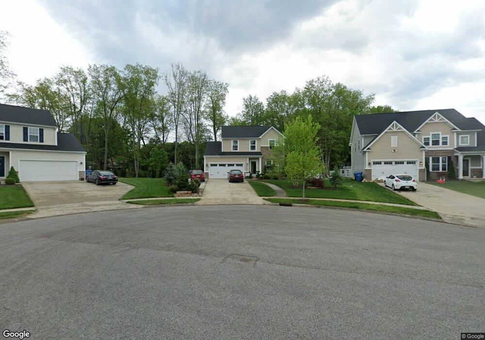
3088 Stonehurst Rd Uniontown, OH 44685
Estimated Value: $390,275 - $422,000
3
Beds
4
Baths
2,152
Sq Ft
$190/Sq Ft
Est. Value
About This Home
This home is located at 3088 Stonehurst Rd, Uniontown, OH 44685 and is currently estimated at $408,569, approximately $189 per square foot. 3088 Stonehurst Rd is a home with nearby schools including Greenwood Elementary School, Green Primary School, and Green Intermediate Elementary School.
Ownership History
Date
Name
Owned For
Owner Type
Purchase Details
Closed on
Oct 18, 2018
Sold by
Nvr Inc
Bought by
Robinson Pamela and Robinson Brian G
Current Estimated Value
Home Financials for this Owner
Home Financials are based on the most recent Mortgage that was taken out on this home.
Original Mortgage
$238,785
Outstanding Balance
$209,116
Interest Rate
4.7%
Mortgage Type
VA
Estimated Equity
$199,453
Purchase Details
Closed on
Jun 21, 2018
Sold by
Lakes Of Green Ltd
Bought by
Nvr Inc and Ryan Homes
Create a Home Valuation Report for This Property
The Home Valuation Report is an in-depth analysis detailing your home's value as well as a comparison with similar homes in the area
Purchase History
| Date | Buyer | Sale Price | Title Company |
|---|---|---|---|
| Robinson Pamela | $272,850 | Nvr Title Agency Llc | |
| Nvr Inc | $51,500 | Nvr Title Agnecy Llc |
Source: Public Records
Mortgage History
| Date | Status | Borrower | Loan Amount |
|---|---|---|---|
| Open | Robinson Pamela | $238,785 |
Source: Public Records
Tax History
| Year | Tax Paid | Tax Assessment Tax Assessment Total Assessment is a certain percentage of the fair market value that is determined by local assessors to be the total taxable value of land and additions on the property. | Land | Improvement |
|---|---|---|---|---|
| 2024 | $5,618 | $118,003 | $22,145 | $95,858 |
| 2023 | $5,618 | $118,003 | $22,145 | $95,858 |
| 2022 | $5,044 | $95,162 | $17,857 | $77,305 |
| 2021 | $4,735 | $95,162 | $17,857 | $77,305 |
| 2020 | $4,643 | $95,170 | $17,860 | $77,310 |
| 2019 | $4,701 | $90,890 | $17,140 | $73,750 |
| 2018 | $120 | $980 | $980 | $0 |
| 2017 | $0 | $0 | $0 | $0 |
Source: Public Records
Map
Nearby Homes
- 2771 Superior Dr
- 2958 E Turkeyfoot Lake Rd
- 3771 Edison St NW
- 3788 Carl St NW
- 2941 Sweitzer Rd
- 3720 Carl St NW
- 2512 Twin Lakes Dr
- 3680 Timber Lake St NW
- 2667 Spade Rd
- 3586 Leafland St NW
- 2903 Northview Rd
- 3411 Sweitzer St NW
- 13526 Glenvale Ave NW
- 3540 Bushwillow Dr
- 3544 Bushwillow Dr
- 2390 Auberry Dr
- 2898 Canton Rd
- 0 E Turkeyfoot Lake Rd Unit 5181695
- 2348 E Turkeyfoot Lake Rd
- 3302 Ashton Dr
- 3078 Stonehurst Rd
- 3081 Stonehurst Rd
- 3075 Stonehurst Rd
- 3075 Stonehurst Rd
- 3082 Stonehurst Rd
- 3058 Stonehurst Rd
- 3065 Stonehurst Rd
- 3087 Stonehurst Rd
- 3059 Stonehurst Rd
- 3099 Stonehurst Rd
- 3098 Stonehurst Rd
- 3279 Pebble Stone Dr
- 3048 Stonehurst Rd
- 3272 Pebble Stone Dr
- 2660 Woodview Rd
- 3283 Pebble Stone Dr
- 3034 Stonehurst Dr
- 3037 Stonehurst Rd
- 2731 Watervale Dr
- 13313 Betty Ave NW
Your Personal Tour Guide
Ask me questions while you tour the home.