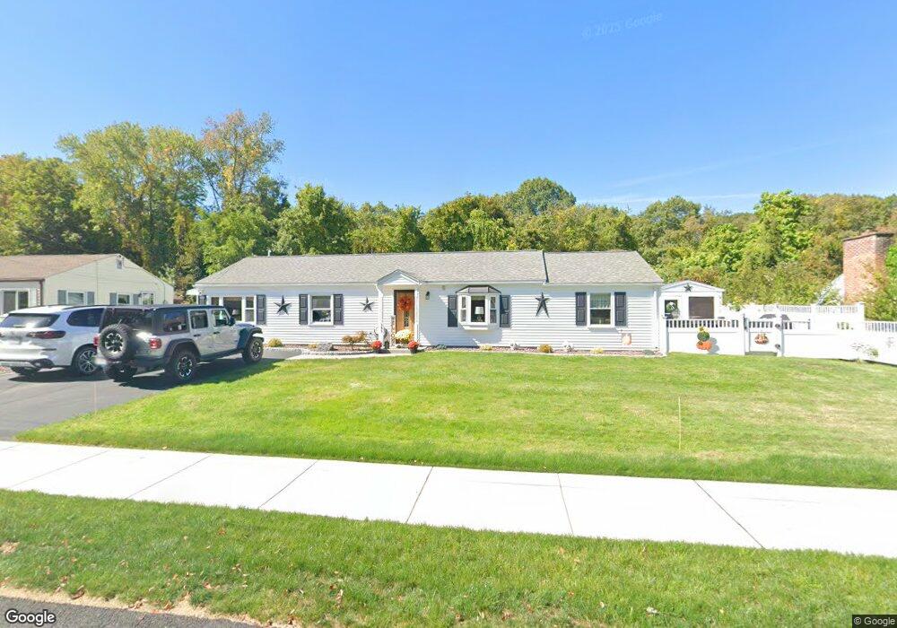
309 Circle Dr West Springfield, MA 01089
Estimated Value: $313,000 - $371,000
3
Beds
1
Bath
1,602
Sq Ft
$214/Sq Ft
Est. Value
About This Home
This home is located at 309 Circle Dr, West Springfield, MA 01089 and is currently estimated at $342,343, approximately $213 per square foot. 309 Circle Dr is a home located in Hampden County with nearby schools including West Springfield High School, Hampden Charter School of Science West, and St Thomas The Apostle School.
Ownership History
Date
Name
Owned For
Owner Type
Purchase Details
Closed on
Dec 15, 2022
Sold by
Mccarthy Edward J and Mccarthy Wendy L
Bought by
Fiala Anthony R and Fiala Laurie A
Current Estimated Value
Purchase Details
Closed on
Jan 19, 1989
Sold by
Strom Mary J
Bought by
Fiala Anthony R
Create a Home Valuation Report for This Property
The Home Valuation Report is an in-depth analysis detailing your home's value as well as a comparison with similar homes in the area
Home Values in the Area
Average Home Value in this Area
Purchase History
We collect this data history from publicly available records. To have your information removed, we recommend requesting removal directly through your county’s website.
| Date | Buyer | Sale Price | Title Company |
|---|---|---|---|
| Fiala Anthony R | -- | None Available | |
| Fiala Anthony R | $90,000 | -- | |
| Fiala Anthony R | $90,000 | -- |
Source: Public Records
Mortgage History
We collect this data history from publicly available records. To have your information removed, we recommend requesting removal directly through your county’s website.
| Date | Status | Borrower | Loan Amount |
|---|---|---|---|
| Previous Owner | Fiala Anthony R | $116,900 | |
| Previous Owner | Fiala Anthony R | $50,000 | |
| Previous Owner | Fiala Anthony R | $73,500 |
Source: Public Records
Tax History
| Year | Tax Paid | Tax Assessment Tax Assessment Total Assessment is a certain percentage of the fair market value that is determined by local assessors to be the total taxable value of land and additions on the property. | Land | Improvement |
|---|---|---|---|---|
| 2025 | $3,850 | $258,900 | $109,000 | $149,900 |
| 2024 | $3,799 | $256,500 | $109,000 | $147,500 |
| 2023 | $3,756 | $241,700 | $107,700 | $134,000 |
| 2022 | $3,398 | $215,600 | $97,800 | $117,800 |
| 2021 | $3,309 | $195,800 | $90,400 | $105,400 |
| 2020 | $3,294 | $193,900 | $90,400 | $103,500 |
| 2019 | $3,289 | $193,900 | $90,400 | $103,500 |
| 2018 | $3,306 | $193,900 | $90,400 | $103,500 |
| 2017 | $3,306 | $193,900 | $90,400 | $103,500 |
| 2016 | $3,281 | $193,100 | $86,900 | $106,200 |
| 2015 | $3,216 | $189,300 | $85,100 | $104,200 |
| 2014 | $780 | $189,300 | $85,100 | $104,200 |
Source: Public Records
Map
Nearby Homes
- 300 Circle Dr
- 24 Circle Dr
- 0 Ahiska Rd Unit 73477754
- 72 Paulson Dr
- 1193 Amostown Rd
- 543 Amostown Rd
- 125 Lennys Way
- 25 Piper Cross Rd
- 36 Shady Brook
- 38 Shady Brook
- 51 Lantern Ln
- 1211 Piper Rd
- 71 Jennifer Dr
- 2 Windpath E
- 1318 Piper Rd
- 256 Morton St
- 65 Verdugo St
- 241 Belmont Ave
- 80 Morton St
- 514 Dewey St
Your Personal Tour Guide
Ask me questions while you tour the home.