309 E 368th Rd Dunnegan, MO 65640
Estimated Value: $282,812 - $462,000
2
Beds
3
Baths
1,680
Sq Ft
$210/Sq Ft
Est. Value
About This Home
This home is located at 309 E 368th Rd, Dunnegan, MO 65640 and is currently estimated at $352,937, approximately $210 per square foot. 309 E 368th Rd is a home with nearby schools including Fair Play Elementary School and Fair Play High School.
Create a Home Valuation Report for This Property
The Home Valuation Report is an in-depth analysis detailing your home's value as well as a comparison with similar homes in the area
Tax History
| Year | Tax Paid | Tax Assessment Tax Assessment Total Assessment is a certain percentage of the fair market value that is determined by local assessors to be the total taxable value of land and additions on the property. | Land | Improvement |
|---|---|---|---|---|
| 2024 | $6 | $11,800 | $0 | $0 |
| 2023 | $563 | $11,800 | $0 | $0 |
| 2022 | $551 | $11,550 | $0 | $0 |
| 2021 | $483 | $11,550 | $0 | $0 |
| 2020 | $475 | $10,860 | $0 | $0 |
| 2019 | $472 | $10,860 | $0 | $0 |
| 2018 | $447 | $9,680 | $0 | $0 |
| 2017 | $448 | $9,680 | $0 | $0 |
| 2016 | $449 | $9,680 | $0 | $0 |
| 2015 | -- | $9,680 | $0 | $0 |
| 2014 | -- | $9,640 | $0 | $0 |
Source: Public Records
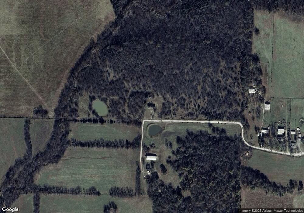
Map
Nearby Homes
- 302 E 368th Rd
- 331 E 368th Rd
- 333 E 368th Rd
- 335 E 368th Rd
- 3751 Highway 123
- 3670 Highway 123
- 3661 Highway 123
- 3711 Highway 123
- 3753 Highway 123
- 3704 Highway 123
- 349 E 365th Rd
- 3746 Highway 123
- 000 S 21st Rd
- 361 E 372nd Rd
- 3688 S 21st Rd
- 312 E 365th Rd
- 3756 Highway 123
- 376 E 372nd Rd
- 309 E 365th Rd
- 230 E 370th Rd
Your Personal Tour Guide
Ask me questions while you tour the home.