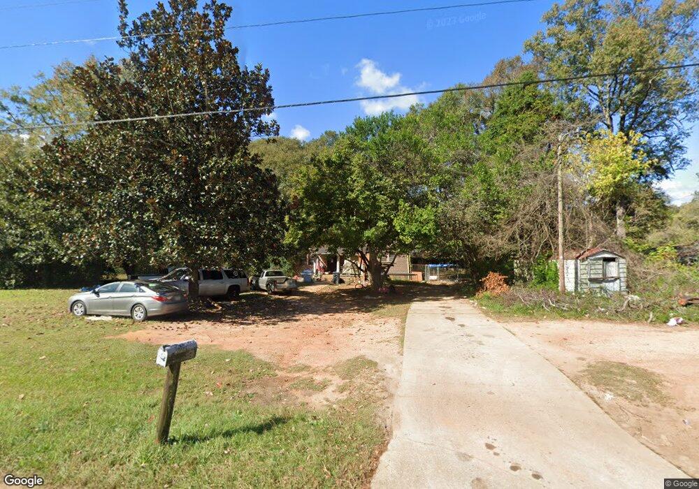
3092 West Point Rd Lagrange, GA 30240
Estimated Value: $141,000 - $233,000
3
Beds
1
Bath
1,251
Sq Ft
$145/Sq Ft
Est. Value
About This Home
This home is located at 3092 West Point Rd, Lagrange, GA 30240 and is currently estimated at $181,043, approximately $144 per square foot. 3092 West Point Rd is a home located in Troup County with nearby schools including Berta Weathersbee Elementary School, Long Cane Elementary School, and Whitesville Road Elementary School.
Ownership History
Date
Name
Owned For
Owner Type
Purchase Details
Closed on
Jun 29, 2020
Sold by
Manzi James Joseph
Bought by
Allen Craig
Current Estimated Value
Purchase Details
Closed on
Sep 3, 1998
Sold by
Lois Hopkins Tillman
Bought by
Manzi James J
Purchase Details
Closed on
Jan 1, 1957
Sold by
Lois H Tillman
Bought by
Lois Hopkins Tillman
Create a Home Valuation Report for This Property
The Home Valuation Report is an in-depth analysis detailing your home's value as well as a comparison with similar homes in the area
Purchase History
| Date | Buyer | Sale Price | Title Company |
|---|---|---|---|
| Allen Craig | -- | -- | |
| Manzi James J | $62,000 | -- | |
| Lois Hopkins Tillman | -- | -- |
Source: Public Records
Tax History
| Year | Tax Paid | Tax Assessment Tax Assessment Total Assessment is a certain percentage of the fair market value that is determined by local assessors to be the total taxable value of land and additions on the property. | Land | Improvement |
|---|---|---|---|---|
| 2025 | $1,125 | $41,240 | $6,640 | $34,600 |
| 2024 | $947 | $34,720 | $6,640 | $28,080 |
| 2023 | $775 | $28,400 | $6,640 | $21,760 |
| 2022 | $758 | $27,160 | $6,640 | $20,520 |
| 2021 | $684 | $22,680 | $7,200 | $15,480 |
| 2020 | $684 | $22,680 | $7,200 | $15,480 |
| 2019 | $650 | $21,560 | $5,800 | $15,760 |
| 2018 | $607 | $20,120 | $5,800 | $14,320 |
| 2017 | $607 | $20,120 | $5,800 | $14,320 |
| 2016 | $601 | $19,924 | $5,800 | $14,124 |
| 2015 | $602 | $19,924 | $5,800 | $14,124 |
| 2014 | $580 | $19,181 | $5,800 | $13,381 |
| 2013 | -- | $20,060 | $5,800 | $14,260 |
Source: Public Records
Map
Nearby Homes
- 808 S Fling Rd
- 245 Teaver Rd
- 0 Glass Bridge Rd Unit 10679358
- 427 Fling Rd
- 53 Horace Carter Rd
- 8 Horace Carter Rd
- 0 Bradfield Dr Unit 10568803
- 288 Bradfield Dr
- 402 Ginger Cir
- 112 Foxdale Dr
- 2239 Pegasus Pkwy
- 22 Freeman Rd
- 640 Hudson Rd
- 105 Redwood Dr
- 3009 Old West Point Rd
- 98 Hearn Rd
- 3 Reed Dr
- 129 Angela East Dr
- 4.5 ACRES Whatley Rd N
- 0 Deming St Unit 10550189
- 11 Pop Reeses Rd
- 3116 W Point Rd
- 3116 West Point Rd
- 3097 West Point Rd
- 10 Pop Reeses Rd
- 3140 W Point Rd
- 3140 West Point Rd
- 3055 West Point Rd
- 69 Pop Reeses Rd
- 3017 W Point Rd
- 79 Pop Reeses Rd
- 3153 West Point Rd
- 3159 West Point Rd
- 116 Westover Trail
- 75 Martin Dr
- 3176 W Point Rd
- 3176 West Point Rd
- 78 Martin Dr
- 118 Westover Trail
- 89 Pop Reeses Rd
Your Personal Tour Guide
Ask me questions while you tour the home.