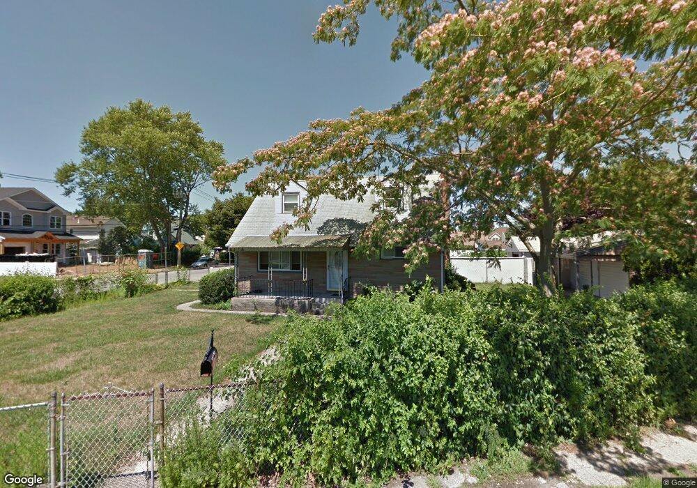
3095 Brower Ave Oceanside, NY 11572
Estimated Value: $660,000 - $690,672
About This Home
This home is located at 3095 Brower Ave, Oceanside, NY 11572 and is currently estimated at $675,336, approximately $592 per square foot. 3095 Brower Ave is a home located in Nassau County with nearby schools including Oaks Elementary School - School 3, Oceanside Middle School, and Oceanside High School.
Ownership History
We collect this data history from publicly available records. To have your information removed, we recommend requesting removal directly through your county’s website.
Purchase Details
Home Financials for this Owner
Home Financials are based on the most recent Mortgage that was taken out on this home.Home Values in the Area
Average Home Value in this Area
Purchase History
We collect this data history from publicly available records. To have your information removed, we recommend requesting removal directly through your county’s website.
| Date | Buyer | Sale Price | Title Company |
|---|---|---|---|
| $360,000 | -- |
Mortgage History
We collect this data history from publicly available records. To have your information removed, we recommend requesting removal directly through your county’s website.
| Date | Status | Borrower | Loan Amount |
|---|---|---|---|
| Open | $234,000 | ||
| Closed | -- |
Tax History
We collect this data history from publicly available records. To have your information removed, we recommend requesting removal directly through your county’s website.
| Year | Tax Paid | Tax Assessment Tax Assessment Total Assessment is a certain percentage of the fair market value that is determined by local assessors to be the total taxable value of land and additions on the property. | Land | Improvement |
|---|---|---|---|---|
| 2026 | $11,846 | $437 | $215 | $222 |
| 2025 | $11,846 | $437 | $215 | $222 |
| 2024 | $3,388 | $437 | $215 | $222 |
| 2023 | $10,514 | $437 | $215 | $222 |
| 2022 | $10,514 | $437 | $215 | $222 |
| 2021 | $13,857 | $423 | $208 | $215 |
| 2020 | $10,076 | $512 | $511 | $1 |
| 2019 | $2,910 | $512 | $511 | $1 |
| 2018 | $2,185 | $546 | $0 | $0 |
| 2017 | $1,064 | $580 | $494 | $86 |
| 2016 | $3,372 | $688 | $586 | $102 |
| 2015 | $2,744 | $688 | $586 | $102 |
| 2014 | $2,744 | $688 | $586 | $102 |
| 2013 | $2,170 | $688 | $586 | $102 |
Map
- 3131 Brower Ave
- 577 Waukena Ave
- 2860 Sunnybrook Dr W
- 3379 Harold St
- 547 Sunnybrook Dr
- 3124 Ralph Ave
- 2961 Allon St
- 2941 Harvey Ave
- 2941 Moreland Ave
- 345 Christopher St
- 613 Smith Place
- 2877 Calvin Rd
- 3420 Woodward St
- 2864 Saint Johns Rd
- 3014 Davis Place
- 2927 Brower Ave
- 3309 Skillman Ave
- 2854 Clarendon Rd
- 663 Arthur St
- 3483 Frederick St
- 3267 Harold St
- 3273 Harold St
- 3261 Harold St
- 3134 Brower Ave
- 3279 Harold St
- 3255 Harold St
- 3140 Brower Ave
- 3268 Harold St
- 598 Gifford Ave
- 3111 Brower Ave
- 3272 Harold St
- 3121 Brower Ave
- 3115 Brower Ave
- 3285 Harold St
- 3125 Brower Ave
- 3278 Harold St
- 599 Gifford Ave
- 3146 Brower Ave
- 3051 Fortesque Ave
- 3286 Harold St
Ask me questions while you tour the home.