Estimated Value: $359,000 - $394,000
2
Beds
3
Baths
1,300
Sq Ft
$293/Sq Ft
Est. Value
About This Home
This home is located at 31 Ashford Dr, Avon, CT 06001 and is currently estimated at $381,221, approximately $293 per square foot. 31 Ashford Dr is a home located in Hartford County with nearby schools including Thompson Brook School, Pine Grove School, and Avon Middle School.
Ownership History
Date
Name
Owned For
Owner Type
Purchase Details
Closed on
Jul 19, 2010
Sold by
Brinker Helene S
Bought by
Brooks Lynn Alan and Brooks Alice S
Current Estimated Value
Purchase Details
Closed on
Nov 16, 2001
Sold by
Kneece Terry T
Bought by
Brinker Helene S
Purchase Details
Closed on
Sep 26, 1991
Sold by
Larson Donald and Larson June
Bought by
Kneece James and Kneece Terry
Purchase Details
Closed on
Sep 3, 1991
Sold by
Larson Donald and Larson June
Bought by
Kneece James and Kneece Terry
Purchase Details
Closed on
Aug 31, 1988
Sold by
Avington 15 Dev
Bought by
Larson June
Create a Home Valuation Report for This Property
The Home Valuation Report is an in-depth analysis detailing your home's value as well as a comparison with similar homes in the area
Home Values in the Area
Average Home Value in this Area
Purchase History
We collect this data history from publicly available records. To have your information removed, we recommend requesting removal directly through your county’s website.
| Date | Buyer | Sale Price | Title Company |
|---|---|---|---|
| Brooks Lynn Alan | $286,500 | -- | |
| Brooks Lynn Alan | $286,500 | -- | |
| Brinker Helene S | $277,500 | -- | |
| Brinker Helene S | $277,500 | -- | |
| Kneece James | $178,500 | -- | |
| Kneece James | $178,500 | -- | |
| Kneece James | $178,500 | -- | |
| Larson June | $188,000 | -- |
Source: Public Records
Mortgage History
We collect this data history from publicly available records. To have your information removed, we recommend requesting removal directly through your county’s website.
| Date | Status | Borrower | Loan Amount |
|---|---|---|---|
| Open | Larson June | $100,000 | |
| Previous Owner | Larson June | $102,000 |
Source: Public Records
Tax History
| Year | Tax Paid | Tax Assessment Tax Assessment Total Assessment is a certain percentage of the fair market value that is determined by local assessors to be the total taxable value of land and additions on the property. | Land | Improvement |
|---|---|---|---|---|
| 2025 | $7,346 | $238,880 | $0 | $238,880 |
| 2024 | $7,085 | $238,880 | $0 | $238,880 |
| 2023 | $5,749 | $162,440 | $0 | $162,440 |
| 2022 | $5,622 | $162,440 | $0 | $162,440 |
| 2021 | $5,557 | $162,440 | $0 | $162,440 |
| 2020 | $5,344 | $162,440 | $0 | $162,440 |
| 2019 | $5,344 | $162,440 | $0 | $162,440 |
| 2018 | $5,092 | $162,440 | $0 | $162,440 |
| 2017 | $4,969 | $162,440 | $0 | $162,440 |
| 2016 | $4,795 | $162,440 | $0 | $162,440 |
| 2015 | $4,678 | $162,440 | $0 | $162,440 |
| 2014 | $4,600 | $162,440 | $0 | $162,440 |
Source: Public Records
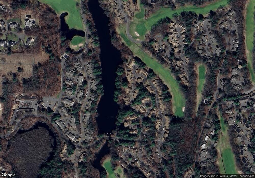
Map
Nearby Homes
- 9 Centerbrook Ct
- 3 Centerbrook Ct
- 1 Greenwich Ln
- 5 Haddam Dr Unit 5
- 14 Canterbury Ln Unit 14
- 23 Maple Ln
- 1 Maple Ln Unit 1
- 39 Heritage Dr Unit 39
- 40 Orchard St
- 26 Buckboard Ln
- 3 Eagles Glen
- 38 Anvil Dr
- 116 Carriage Dr
- 33 Forge Dr
- 1782 Farmington Ave
- 6 Sycamore Hills Rd
- 751 W Avon Rd
- 14 Crosswood Rd
- 8919 Taine Mountain Rd
- 389 Huckleberry Hill Rd
- 31 Ashford Dr
- 32 Ashford Dr
- 34 Ashford Dr
- 34 Ashford Dr Unit 34
- 34 Ashford Dr
- 34 Ashford Dr Unit 333-2
- 1 Waterford Place
- 1 Waterford Place Unit 1
- 33 Ashford Dr
- 35 Ashford Dr
- 37 Ashford Dr
- 36 Ashford Dr
- 36 Ashford Dr Unit 36
- 2 Waterford Place
- 38 Ashford Dr
- 38 Ashford Dr Unit 38
- 25 Ashford Dr
- 39 Ashford Dr
- 39 Ashford Dr
- 39 Ashford Dr Unit 39
Your Personal Tour Guide
Ask me questions while you tour the home.