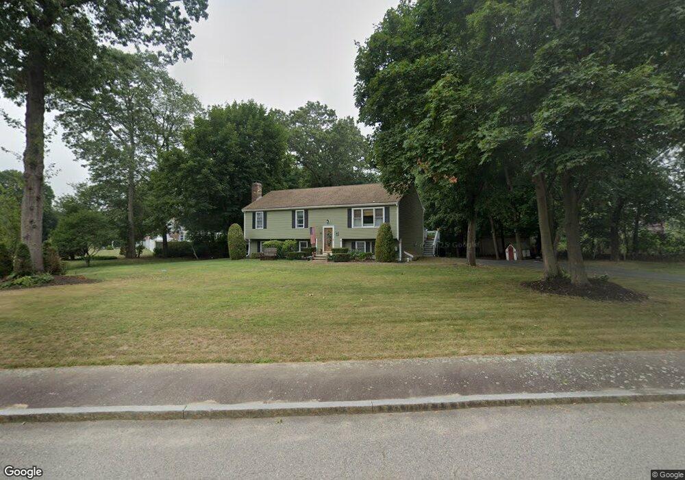
31 Bernard Cir Abington, MA 02351
Estimated Value: $678,000 - $767,000
About This Home
This home is located at 31 Bernard Cir, Abington, MA 02351 and is currently estimated at $708,180, approximately $405 per square foot. 31 Bernard Cir is a home located in Plymouth County with nearby schools including Woodsdale School, Beaver Brook Elementary School, and Abington Middle School.
Ownership History
We collect this data history from publicly available records. To have your information removed, we recommend requesting removal directly through your county’s website.
Purchase Details
Home Financials for this Owner
Home Financials are based on the most recent Mortgage that was taken out on this home.Home Values in the Area
Average Home Value in this Area
Purchase History
We collect this data history from publicly available records. To have your information removed, we recommend requesting removal directly through your county’s website.
| Date | Buyer | Sale Price | Title Company |
|---|---|---|---|
| $194,900 | -- |
Mortgage History
We collect this data history from publicly available records. To have your information removed, we recommend requesting removal directly through your county’s website.
| Date | Status | Borrower | Loan Amount |
|---|---|---|---|
| Open | $100,000 | ||
| Open | $155,900 | ||
| Previous Owner | $14,000 | ||
| Previous Owner | $148,000 |
Tax History
We collect this data history from publicly available records. To have your information removed, we recommend requesting removal directly through your county’s website.
| Year | Tax Paid | Tax Assessment Tax Assessment Total Assessment is a certain percentage of the fair market value that is determined by local assessors to be the total taxable value of land and additions on the property. | Land | Improvement |
|---|---|---|---|---|
| 2025 | $7,721 | $591,200 | $259,400 | $331,800 |
| 2024 | $7,671 | $573,300 | $258,300 | $315,000 |
| 2023 | $7,180 | $505,300 | $225,700 | $279,600 |
| 2022 | $6,867 | $451,200 | $189,400 | $261,800 |
| 2021 | $6,668 | $404,600 | $180,800 | $223,800 |
| 2020 | $6,591 | $387,700 | $167,600 | $220,100 |
| 2019 | $6,573 | $378,000 | $167,600 | $210,400 |
| 2018 | $6,173 | $346,400 | $167,600 | $178,800 |
| 2017 | $6,162 | $335,800 | $167,600 | $168,200 |
| 2016 | $5,444 | $303,600 | $153,400 | $150,200 |
| 2015 | $5,049 | $297,000 | $153,400 | $143,600 |
Map
- 36 Blanchard Terrace
- 4 Kingswood Dr Unit 3
- 10 Kingswood Dr Unit 13
- 6 Kingswood Dr Unit B11
- 895 Hancock St
- 221 Chestnut St
- 1148 Bedford St
- 91 Loganberry Dr
- 1065 Bedford St
- 373 Hancock St
- 147 Oak St
- 0 Bedford St
- 84 Patricia Ln
- 22 Nardone Cir
- 116 Thicket St
- 20 Cleverly St Unit A4
- 640 Plymouth St
- 560 Pond St
- 82 & 84 Railroad St
- 57 Battery St
- 599 Randolph St
- 196 Bernard Cir
- 30 Bernard Cir
- 571 Randolph St
- 619 Randolph St
- 48 Bernard Cir
- 55 Bernard Cir
- 24 Bernard Cir
- 561 Randolph St
- 600 Randolph St
- 3 Chestnut St
- 612 Randolph St
- 619 Old Randolph St Unit 2
- 178 Bernard Cir
- 0 Chestnut St
- 185 Bernard Cir
- 31 Old Farm Rd
- 05 Chestnut St
- 64 Bernard Cir
- 639 Randolph St
Ask me questions while you tour the home.