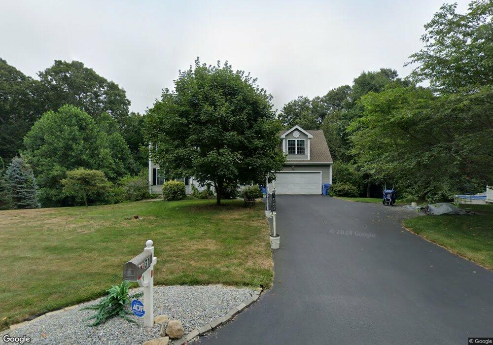
31 Brookside Dr Norwich, CT 06360
Yantic NeighborhoodEstimated Value: $417,000 - $560,000
About This Home
This home is located at 31 Brookside Dr, Norwich, CT 06360 and is currently estimated at $503,324, approximately $227 per square foot. 31 Brookside Dr is a home located in New London County with nearby schools including Samuel Huntington Elementary School, Kelly STEAM Magnet Middle School, and Stoneview Children's University.
Ownership History
We collect this data history from publicly available records. To have your information removed, we recommend requesting removal directly through your county’s website.
Purchase Details
Home Values in the Area
Average Home Value in this Area
Purchase History
We collect this data history from publicly available records. To have your information removed, we recommend requesting removal directly through your county’s website.
| Date | Buyer | Sale Price | Title Company |
|---|---|---|---|
| $357,500 | -- |
Tax History
We collect this data history from publicly available records. To have your information removed, we recommend requesting removal directly through your county’s website.
| Year | Tax Paid | Tax Assessment Tax Assessment Total Assessment is a certain percentage of the fair market value that is determined by local assessors to be the total taxable value of land and additions on the property. | Land | Improvement |
|---|---|---|---|---|
| 2025 | $10,053 | $288,800 | $56,400 | $232,400 |
| 2024 | $9,603 | $288,800 | $56,400 | $232,400 |
| 2023 | $7,880 | $188,300 | $49,100 | $139,200 |
| 2022 | $7,942 | $188,300 | $49,100 | $139,200 |
| 2021 | $7,975 | $188,300 | $49,100 | $139,200 |
| 2020 | $7,980 | $188,300 | $49,100 | $139,200 |
| 2019 | $7,653 | $188,300 | $49,100 | $139,200 |
| 2018 | $7,641 | $184,300 | $56,100 | $128,200 |
| 2017 | $7,495 | $184,300 | $56,100 | $128,200 |
| 2016 | $7,683 | $184,300 | $56,100 | $128,200 |
| 2015 | $7,363 | $177,900 | $56,100 | $121,800 |
| 2014 | $6,945 | $177,900 | $56,100 | $121,800 |
Map
- 47 Huntington Ave
- 60-70 Connecticut Ave
- 213 W Town St Unit C11
- 45 Huntington Ave
- 17 Parkwoods Dr Unit 17
- 4 Parkwoods Dr Unit 4
- 45 Forestview Dr Unit 45
- 116 Case St
- 00 Plain Hill Rd
- 0 Myrtle Dr
- 249 Plain Hill Rd
- 235 Scotland Rd
- 209 Scotland Rd
- 62 Sholes Ave
- 12 Gulliver Cir
- 90 Sturtevant St
- 351 Scotland Rd
- 171 Otrobando Ave
- 2 Mediterranean Ln
- 18 Reservoir Rd
- 36 Brookside Dr
- 38 Brookside Dr
- 37 Brookside Dr
- 27 Brookside Dr
- 12 Brookside Dr
- 21 Brookside Dr
- 10 Brookside Dr
- 0 Brookside Dr
- 0 Brookside Dr
- 11 Brookside Dr
- 19 Brookside Dr
- 97 Vergason Ave
- 230 Vergason Ave
- 9 Brookside Dr
- 140 Vergason Ave
- 130 Vergason Ave
- 135 Vergason Ave
- 122 Vergason Ave
- 214 Vergason Ave
- 15 Brookside Dr
Ask me questions while you tour the home.