31 Coombs Neck Rd Vinalhaven, ME 04863
Estimated Value: $762,000
About This Home
This home is located at 31 Coombs Neck Rd, Vinalhaven, ME 04863 and is currently estimated at $762,000. 31 Coombs Neck Rd is a home with nearby schools including Vinalhaven School.
Ownership History
We collect this data history from publicly available records. To have your information removed, we recommend requesting removal directly through your county’s website.
Purchase Details
Purchase Details
Home Financials for this Owner
Home Financials are based on the most recent Mortgage that was taken out on this home.Home Values in the Area
Average Home Value in this Area
Purchase History
We collect this data history from publicly available records. To have your information removed, we recommend requesting removal directly through your county’s website.
| Date | Buyer | Sale Price | Title Company |
|---|---|---|---|
| -- | -- | ||
| -- | -- |
Mortgage History
We collect this data history from publicly available records. To have your information removed, we recommend requesting removal directly through your county’s website.
| Date | Status | Borrower | Loan Amount |
|---|---|---|---|
| Previous Owner | $112,500 |
Tax History
We collect this data history from publicly available records. To have your information removed, we recommend requesting removal directly through your county’s website.
| Year | Tax Paid | Tax Assessment Tax Assessment Total Assessment is a certain percentage of the fair market value that is determined by local assessors to be the total taxable value of land and additions on the property. | Land | Improvement |
|---|---|---|---|---|
| 2025 | $10,685 | $797,400 | $674,500 | $122,900 |
| 2024 | $10,286 | $797,400 | $674,500 | $122,900 |
| 2023 | $9,808 | $797,400 | $674,500 | $122,900 |
| 2022 | $9,338 | $797,400 | $674,500 | $122,900 |
| 2021 | $8,511 | $619,900 | $497,600 | $122,300 |
| 2020 | $8,440 | $619,200 | $497,600 | $121,600 |
| 2019 | $7,969 | $619,200 | $497,600 | $121,600 |
| 2018 | $7,598 | $619,200 | $497,600 | $121,600 |
| 2017 | $7,261 | $636,400 | $514,800 | $121,600 |
| 2016 | $7,309 | $645,700 | $514,800 | $130,900 |
| 2015 | $6,560 | $645,700 | $514,800 | $130,900 |
| 2014 | $6,425 | $645,700 | $514,800 | $130,900 |
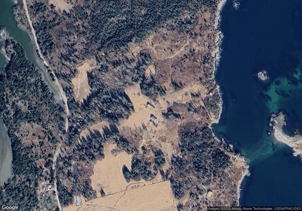
Map
- Lot 12-004 Coombs Neck Rd
- 29 Hidden Dr
- 006-60 Round the Island Rd
- 00 Tolman Rd
- 7 Young Rd
- 63 York Rd
- 22-26 Tinkers Landing
- 368 Calderwood Neck Rd
- 111 E Main St
- 50 E Boston Rd
- 12 Jamestown Rd
- 25 Pleasant St
- 11 Cottage St
- 8 Pleasant St
- 16 Brighton Ave
- 5 Chestnut St
- 129 E Boston Rd
- 54 W Main St
- 15 Main St
- 46 Atlantic Ave
- 56 Pooles Hill Rd
- 18 Coombs Neck Rd
- 0 Coombs Neck Rd
- 275 Pooles Hill Rd
- 131 Coombs Neck Rd
- 171 Coombs Neck Rd
- 197 Pooles Hill Rd
- 164 Poor Farm Rd
- 190 Poor Farm Rd
- 189 Poor Farm Rd
- 204/209 Coombs Neck Rd
- 204 Coombs Neck Rd
- 204 & 209 Coombs Neck Rd
- 153 Poor Farm Rd
- 142 Poor Farm Rd
- 0 W Pooles Hill Farm Rd St Unit 1434713
- 0 Smith Harbor Rd Lot 2 Rd SE Unit 1531393
- 122A Poor Farm Rd
- 186 Poole's Hill Rd
- 0 Smith Harbor Rd E Unit 1497216
Ask me questions while you tour the home.