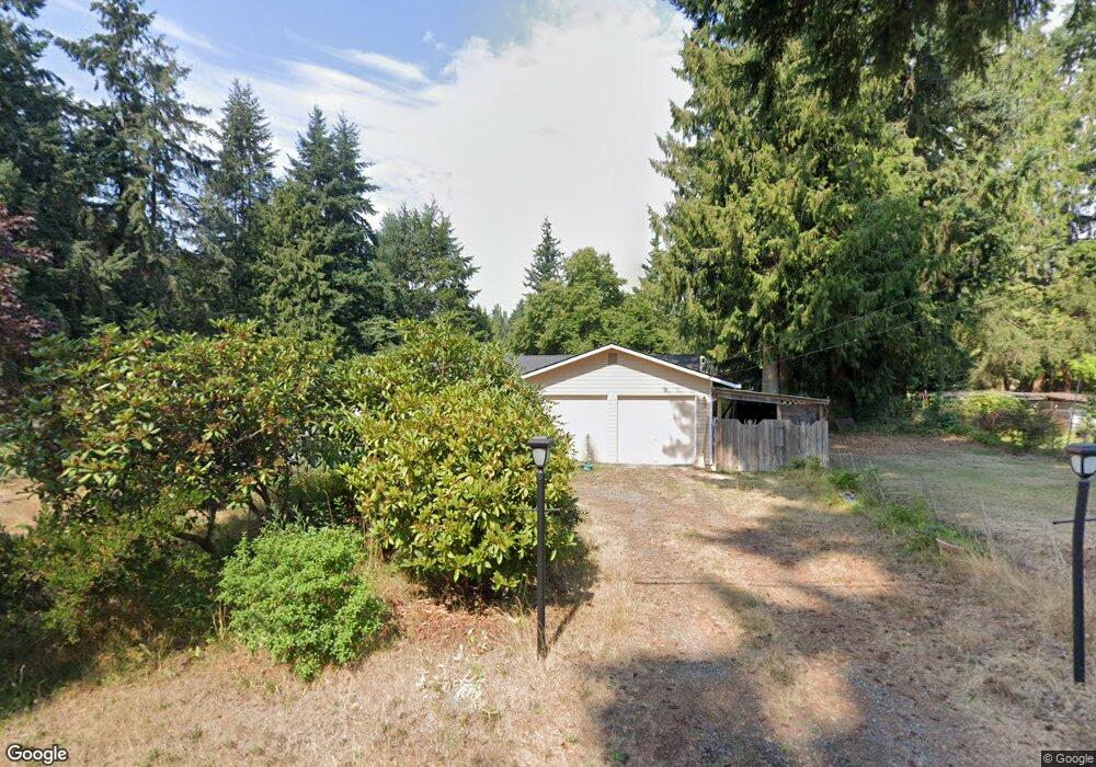
31 E Moore St Port Hadlock, WA 98339
Port Hadlock-Irondale NeighborhoodEstimated Value: $422,000 - $451,000
3
Beds
2
Baths
1,272
Sq Ft
$341/Sq Ft
Est. Value
About This Home
This home is located at 31 E Moore St, Port Hadlock, WA 98339 and is currently estimated at $433,499, approximately $340 per square foot. 31 E Moore St is a home located in Jefferson County with nearby schools including Chimacum Creek Primary School, Chimacum School Pi Program, and Chimacum Elementary School.
Ownership History
Date
Name
Owned For
Owner Type
Purchase Details
Closed on
May 29, 2008
Sold by
Helman Charles C
Bought by
Laase Carol A
Current Estimated Value
Home Financials for this Owner
Home Financials are based on the most recent Mortgage that was taken out on this home.
Original Mortgage
$20,700
Outstanding Balance
$3,703
Interest Rate
5.87%
Mortgage Type
Future Advance Clause Open End Mortgage
Estimated Equity
$429,796
Purchase Details
Closed on
May 3, 2007
Sold by
Helman Edward C and Helman Edajane A
Bought by
Mere Change In Identy Transfer From Trus
Create a Home Valuation Report for This Property
The Home Valuation Report is an in-depth analysis detailing your home's value as well as a comparison with similar homes in the area
Home Values in the Area
Average Home Value in this Area
Purchase History
| Date | Buyer | Sale Price | Title Company |
|---|---|---|---|
| Laase Carol A | $207,000 | Jefferson Title Co | |
| Mere Change In Identy Transfer From Trus | -- | None Available |
Source: Public Records
Mortgage History
| Date | Status | Borrower | Loan Amount |
|---|---|---|---|
| Open | Laase Carol A | $20,700 |
Source: Public Records
Tax History
| Year | Tax Paid | Tax Assessment Tax Assessment Total Assessment is a certain percentage of the fair market value that is determined by local assessors to be the total taxable value of land and additions on the property. | Land | Improvement |
|---|---|---|---|---|
| 2025 | $2,916 | $358,015 | $95,025 | $262,990 |
| 2024 | $2,705 | $358,015 | $95,025 | $262,990 |
| 2023 | $2,265 | $336,536 | $85,500 | $251,036 |
| 2022 | $2,174 | $294,779 | $62,800 | $231,979 |
| 2021 | $2,118 | $239,310 | $55,200 | $184,110 |
| 2020 | $2,007 | $219,168 | $50,400 | $168,768 |
| 2019 | $1,918 | $201,425 | $48,000 | $153,425 |
| 2018 | $2,092 | $193,754 | $48,000 | $145,754 |
| 2017 | $1,983 | $186,083 | $48,000 | $138,083 |
| 2016 | $1,979 | $188,353 | $44,000 | $144,353 |
| 2015 | $1,950 | $188,353 | $44,000 | $144,353 |
| 2014 | -- | $188,353 | $44,000 | $144,353 |
| 2013 | -- | $171,230 | $40,000 | $131,230 |
Source: Public Records
Map
Nearby Homes
- 331 7th Ave
- 302 S 7th Ave
- 0 E Eugene St
- 130 W Kinkaid St
- 251 Arden St
- 781 Irondale Rd
- 222 Law Ave
- 90 Kem St
- 11968 Airport Cutoff Rd
- 31 Petes Spur
- 31 2nd St
- 593 Prospect Ave
- 174 E Island View Ave
- 1210 Irondale Rd
- 0 Prospect Ave Unit NWM2410763
- 101 D St
- 611 Cedar Ave Unit 33
- 190 Bluffs Dr Unit 1
- 161 Bluffs Dr Unit 2
- 101 Chimacum Creek Dr
Your Personal Tour Guide
Ask me questions while you tour the home.