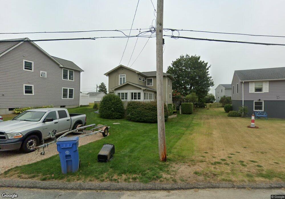
31 Hull St Wakefield, RI 02879
Estimated Value: $741,000 - $1,079,000
About This Home
This home is located at 31 Hull St, Wakefield, RI 02879 and is currently estimated at $864,752, approximately $679 per square foot. 31 Hull St is a home located in Washington County with nearby schools including South Kingstown High School.
Ownership History
We collect this data history from publicly available records. To have your information removed, we recommend requesting removal directly through your county’s website.
Purchase Details
Purchase Details
Home Values in the Area
Average Home Value in this Area
Purchase History
We collect this data history from publicly available records. To have your information removed, we recommend requesting removal directly through your county’s website.
| Date | Buyer | Sale Price | Title Company |
|---|---|---|---|
| -- | None Available | ||
| -- | None Available | ||
| -- | -- |
Mortgage History
We collect this data history from publicly available records. To have your information removed, we recommend requesting removal directly through your county’s website.
| Date | Status | Borrower | Loan Amount |
|---|---|---|---|
| Previous Owner | $96,000 | ||
| Previous Owner | $82,500 |
Tax History
We collect this data history from publicly available records. To have your information removed, we recommend requesting removal directly through your county’s website.
| Year | Tax Paid | Tax Assessment Tax Assessment Total Assessment is a certain percentage of the fair market value that is determined by local assessors to be the total taxable value of land and additions on the property. | Land | Improvement |
|---|---|---|---|---|
| 2025 | $5,573 | $623,400 | $343,700 | $279,700 |
| 2024 | $5,580 | $505,000 | $282,000 | $223,000 |
| 2023 | $5,580 | $505,000 | $282,000 | $223,000 |
| 2022 | $5,530 | $505,000 | $282,000 | $223,000 |
| 2021 | $4,809 | $332,800 | $173,600 | $159,200 |
| 2020 | $4,809 | $332,800 | $173,600 | $159,200 |
| 2019 | $4,809 | $332,800 | $173,600 | $159,200 |
| 2018 | $4,597 | $293,200 | $163,400 | $129,800 |
| 2017 | $4,489 | $293,200 | $163,400 | $129,800 |
| 2016 | $4,424 | $293,200 | $163,400 | $129,800 |
| 2015 | $4,214 | $271,500 | $148,600 | $122,900 |
| 2014 | $4,203 | $271,500 | $148,600 | $122,900 |
Map
- 45 Port Ave
- 23 E Matunuck Farm Dr
- 30 Dory Ct
- 60 Chappell Rd
- 659 Succotash Rd
- 0 Westside Rd
- 25 Westside Rd
- 93 Old Succotash Rd
- 26 Conch Rd
- 251 Succotash Rd
- 86 Conch Rd
- 14 E Pointe Ct Unit 14
- 1185 Succotash Rd
- 9 Arbeth Rd
- 6 MacAlder St
- 6 Arbeth Rd
- 84 E Shore Rd
- 14 Day Lily Cir
- 1140 Succotash Rd
- 1127 Succotash Rd
Ask me questions while you tour the home.