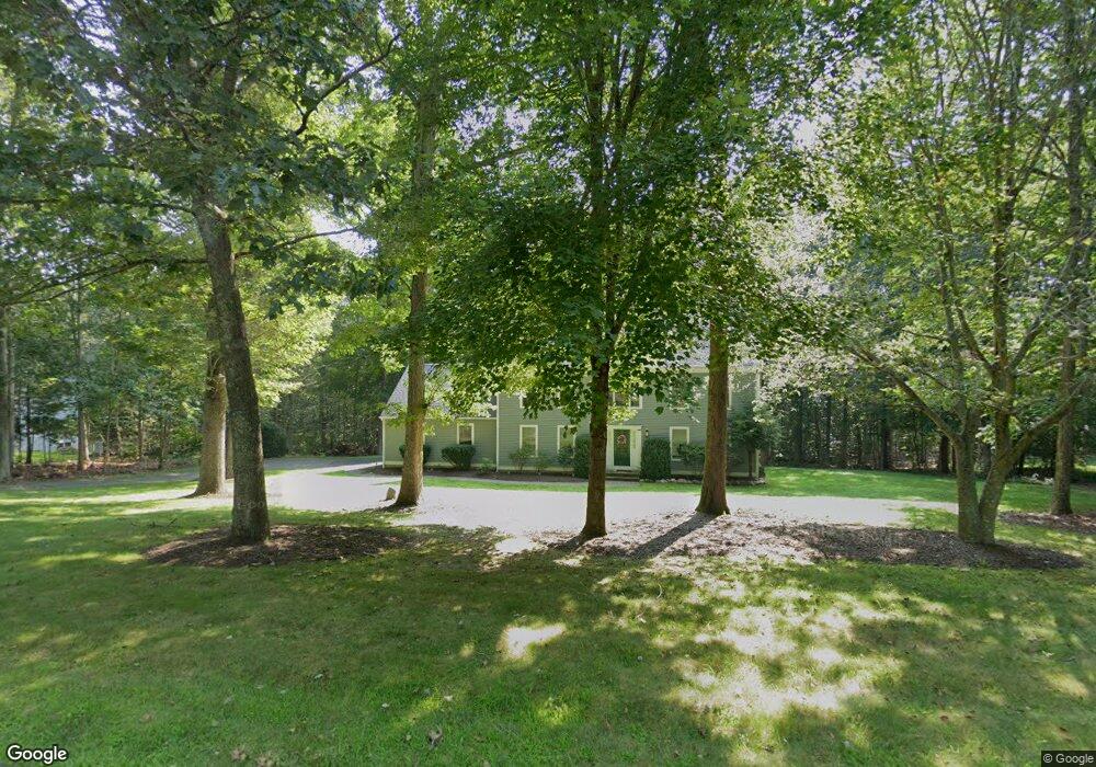
31 Keith Cir Killingworth, CT 06419
Estimated Value: $691,208 - $864,000
4
Beds
3
Baths
2,622
Sq Ft
$296/Sq Ft
Est. Value
About This Home
This home is located at 31 Keith Cir, Killingworth, CT 06419 and is currently estimated at $775,302, approximately $295 per square foot. 31 Keith Cir is a home located in Middlesex County with nearby schools including Haddam-Killingworth High School.
Ownership History
Date
Name
Owned For
Owner Type
Purchase Details
Closed on
May 12, 2021
Sold by
Cornell Robert W and Cornell Susan E
Bought by
Westbrook Donovan A and Ritchie Nikki
Current Estimated Value
Home Financials for this Owner
Home Financials are based on the most recent Mortgage that was taken out on this home.
Original Mortgage
$379,600
Outstanding Balance
$341,072
Interest Rate
3.1%
Mortgage Type
Purchase Money Mortgage
Estimated Equity
$434,230
Purchase Details
Closed on
Nov 16, 1993
Sold by
Slattery Mary Ann
Bought by
Cornell Robert W and Cornell Susan E
Home Financials for this Owner
Home Financials are based on the most recent Mortgage that was taken out on this home.
Original Mortgage
$135,000
Interest Rate
6.79%
Mortgage Type
Unknown
Create a Home Valuation Report for This Property
The Home Valuation Report is an in-depth analysis detailing your home's value as well as a comparison with similar homes in the area
Home Values in the Area
Average Home Value in this Area
Purchase History
| Date | Buyer | Sale Price | Title Company |
|---|---|---|---|
| Westbrook Donovan A | $474,500 | None Available | |
| Cornell Robert W | $236,000 | -- |
Source: Public Records
Mortgage History
| Date | Status | Borrower | Loan Amount |
|---|---|---|---|
| Open | Westbrook Donovan A | $379,600 | |
| Previous Owner | Cornell Robert W | $135,000 | |
| Previous Owner | Cornell Robert W | $60,000 |
Source: Public Records
Tax History
| Year | Tax Paid | Tax Assessment Tax Assessment Total Assessment is a certain percentage of the fair market value that is determined by local assessors to be the total taxable value of land and additions on the property. | Land | Improvement |
|---|---|---|---|---|
| 2025 | $8,201 | $312,760 | $73,850 | $238,910 |
| 2024 | $7,575 | $312,760 | $73,850 | $238,910 |
| 2023 | $7,340 | $312,760 | $73,850 | $238,910 |
| 2022 | $7,049 | $303,590 | $73,850 | $229,740 |
| 2021 | $7,266 | $271,930 | $84,350 | $187,580 |
| 2020 | $7,266 | $271,930 | $84,350 | $187,580 |
| 2019 | $7,470 | $271,930 | $84,350 | $187,580 |
| 2018 | $7,470 | $271,930 | $84,350 | $187,580 |
| 2017 | $7,470 | $271,930 | $84,350 | $187,580 |
| 2016 | $6,521 | $251,880 | $123,120 | $128,760 |
| 2015 | $6,355 | $251,880 | $123,120 | $128,760 |
| 2014 | $6,179 | $251,880 | $123,120 | $128,760 |
Source: Public Records
Map
Nearby Homes
- 4 Laurel Ln
- 43 Evergreen Park
- 38 Beech Tree Ridge
- 24 Tower Hill Rd
- 244 Cow Hill Rd
- 179 Route 81
- 48A Ironworks Rd
- 10 Stonewall Ln
- 50 Kelseytown Rd
- 34 Hurd Bridge Rd
- 262 Connecticut 81
- 214 Green Hill Rd
- 23 Country Village Ln
- 115 Hemlock Dr
- 106 Glenwood Rd
- 538 Winthrop Rd
- 0 Fairy Dell Rd
- 272 Westbrook Rd
- 50 Jefferson Cir
- 10 Whitewood Rd
Your Personal Tour Guide
Ask me questions while you tour the home.