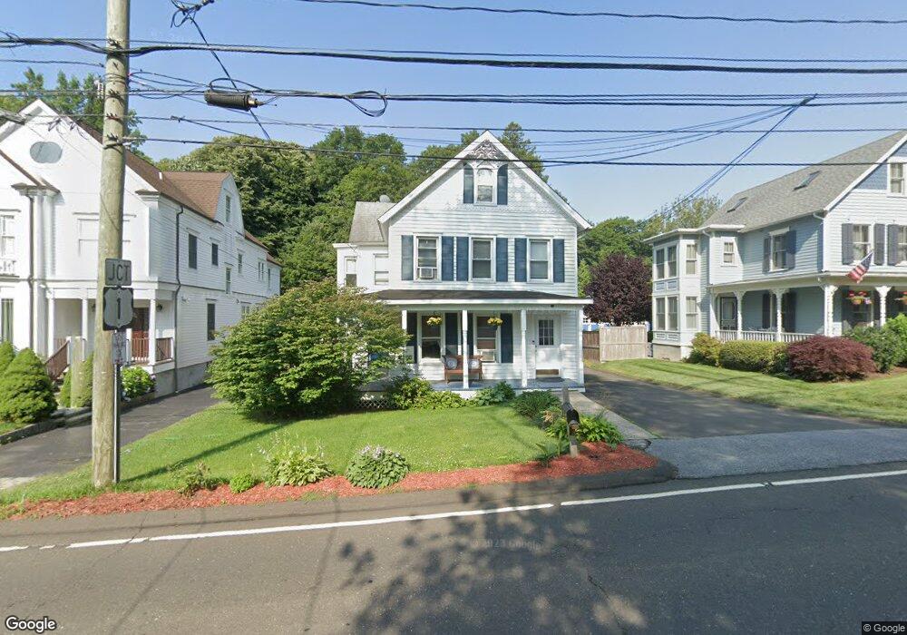
31 Mansfield Ave Darien, CT 06820
Estimated Value: $1,231,000 - $2,879,000
About This Home
This home is located at 31 Mansfield Ave, Darien, CT 06820 and is currently estimated at $1,824,886, approximately $660 per square foot. 31 Mansfield Ave is a home located in Fairfield County with nearby schools including Royle Elementary School, Middlesex Middle School, and Darien High School.
Ownership History
We collect this data history from publicly available records. To have your information removed, we recommend requesting removal directly through your county’s website.
Purchase Details
Home Values in the Area
Average Home Value in this Area
Purchase History
We collect this data history from publicly available records. To have your information removed, we recommend requesting removal directly through your county’s website.
| Date | Buyer | Sale Price | Title Company |
|---|---|---|---|
| -- | -- |
Mortgage History
We collect this data history from publicly available records. To have your information removed, we recommend requesting removal directly through your county’s website.
| Date | Status | Borrower | Loan Amount |
|---|---|---|---|
| Previous Owner | $60,000 | ||
| Previous Owner | $91,000 | ||
| Previous Owner | $105,000 |
Tax History
We collect this data history from publicly available records. To have your information removed, we recommend requesting removal directly through your county’s website.
| Year | Tax Paid | Tax Assessment Tax Assessment Total Assessment is a certain percentage of the fair market value that is determined by local assessors to be the total taxable value of land and additions on the property. | Land | Improvement |
|---|---|---|---|---|
| 2025 | $10,191 | $658,350 | $500,780 | $157,570 |
| 2024 | $9,671 | $658,350 | $500,780 | $157,570 |
| 2023 | $8,795 | $499,450 | $357,700 | $141,750 |
| 2022 | $8,606 | $499,450 | $357,700 | $141,750 |
| 2021 | $4,745 | $499,450 | $357,700 | $141,750 |
| 2020 | $8,171 | $499,450 | $357,700 | $141,750 |
| 2019 | $4,829 | $499,450 | $357,700 | $141,750 |
| 2018 | $15,378 | $511,140 | $346,570 | $164,570 |
| 2017 | $2,201 | $511,140 | $346,570 | $164,570 |
| 2016 | $8,061 | $511,140 | $346,570 | $164,570 |
| 2015 | $7,846 | $511,140 | $346,570 | $164,570 |
| 2014 | $7,672 | $511,140 | $346,570 | $164,570 |
Map
- 1 Sedgwick Ave Unit 2-06
- 3 Rocaton Rd
- 20 Locust Hill Rd
- 2 Roland Dr
- 13 Darien Close
- 2 Settlers Trail Unit 3
- 115 Tokeneke Rd
- 11 Mclaren Rd S
- 72 Old Kings Hwy S
- 93 West Ave
- 8 Sunset Rd
- 174 Leroy Ave
- 12 Settlers Trail
- 43 Stony Brook Rd
- 16 East Trail
- 28 East Ln
- 10 Queens Ln
- 15 Queens Ln
- 58 Knollwood Ln
- 16 Overbrook Ln
- 8 Mansfield Ave Unit 1/FL
- 8 Mansfield Ave
- 12 Mansfield Ave
- 847 Post Rd
- 14 Mansfield Ave
- 847 Boston Post Rd
- 835 Post Rd Unit 2
- 835 Post Rd Unit 1
- 35 Sedgwick Ave
- 885 Post Rd Unit 3B
- 885 Post Rd Unit 2B
- 885 Post Rd Unit 3C
- 885 Post Rd Unit 2C
- 35 Sedgewick Ave
- 868-870 Boston Post Rd
- 27 Mansfield Ave
- 30 Sedgewick Ave
- 879 Post Rd Unit 6820
- 879 Post Rd
- 835 Boston Post Rd Unit 4
Ask me questions while you tour the home.